Projects
Relationship between Low Clouds and the Inter-Tropical Convergence Zone
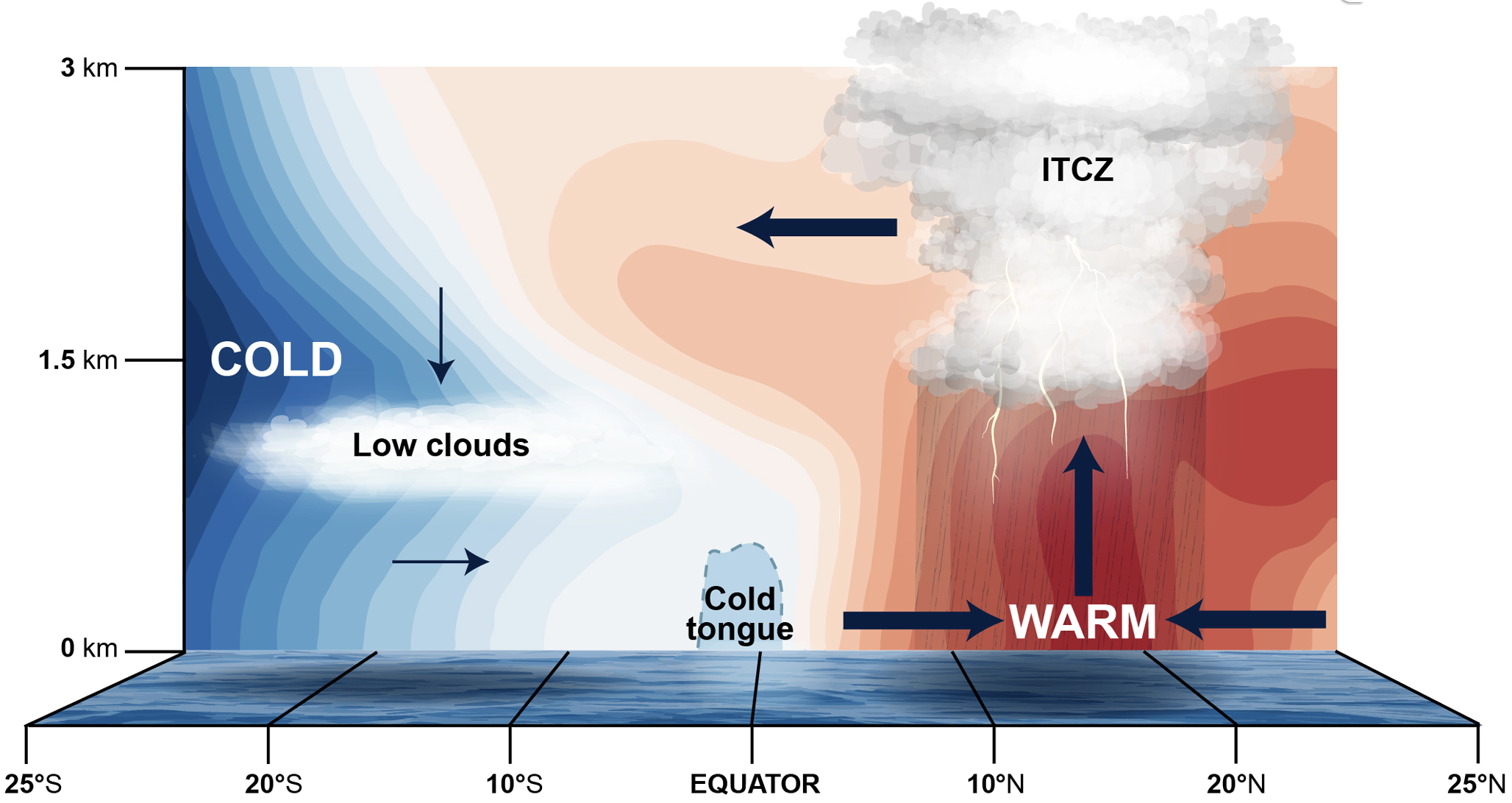
The global and time mean intertropical convergence zone (ITCZ) is located a few degrees north of the equator because of strong sea surface temperature and pressure gradients due in part to horizontally extensive stratocumulus clouds in southern hemisphere eastern ocean basins. These stratocumulus clouds act like a blanket, preventing incoming solar radiation from making it to the surface, and they are associated with a vertically thin trade wind inversion (TWI) layer. Despite recent progress in describing the global and time mean ITCZ through an energy balance framework, nearly all modern Earth system models continue to produce an overly strong southern hemisphere ITCZ over the east Pacific Ocean. Our research group is developing new understanding of the TWI layer's relationship with low clouds, lower tropospheric buoyancy, and large-scale dynamics, and how each component works together to produce conditions favorable for the southeast Pacific ITCZ using both observations and Earth system models. More details and an associated webpage is coming soon!
Boundary Layer Structures and Frontal Systems in the Northeast U.S.
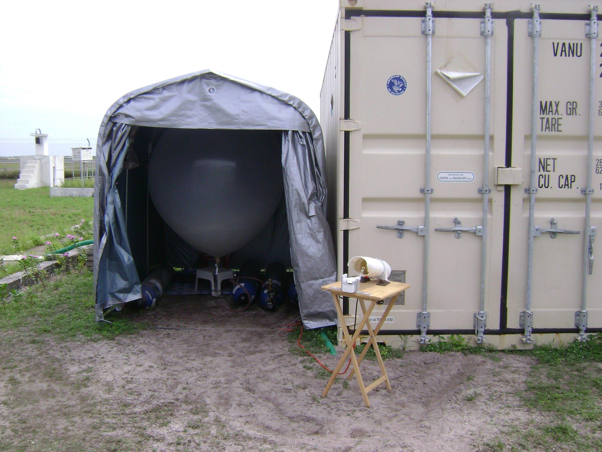
As a part of the Wind Forecast Improvement Project 3 (WFIP3), we are studying the interactions between marine atmospheric boundary layer temperature/moisture gradients, near-surface winds, and low clouds (stratocumulus and cumulus) associated with frontal systems in the Northeast U.S. We are also leading the WFIP3 effort of collecting observations of the atmosphere via atmospheric soundings (temperature, humidity, winds, pressure) both from Woods Hole and from quarterly cruises run by The Northeast U.S. Shelf (NES) Long-Term Ecological Research (LTER) project.
Daily–Weekly Latitudinal Shifts of the Inter-Tropical Convergence Zone
The Inter-Tropical Convergence Zone (ITCZ) is an east-west oriented band of convection that often wraps around the entire tropical belt. The ITCZ serves as the rising branch of the Hadley circulation, determining the poleward transport of mass, moisture, momentum, and energy that is central to Earth’s climate system. Our understanding of the ITCZ on seasonal and longer timescales has improved substantially, especially in relation to the zonally symmetric (averaged over all longitudes) ITCZ. However, there are substantial biases in the ITCZ in climate models, hindering our ability to understand how the ITCZ and the phenomena it impacts will change in future climate scenarios. Our research group places focus on improving our understanding of daily–weekly variations in ITCZ position, width, and strength, which can involve the ITCZ shifting hemispheres or splitting from a single to a double ITCZ. We use observations and numerical models of varying complexity to investigate the multi-scale physics of ITCZs in different ocean basins, such as the Eastern Pacific Ocean.
Multi-Scale Structure and Propagation of the Madden-Julian Oscillation
The Madden-Julian Oscillation (MJO) is convective storm system that initiates in the equatorial Indian Ocean and propagates eastward through the west Pacific Ocean approximately every 30–60 days. The MJO has direct impacts to tropical weather and climate extremes and it impacts the mid-latitudes and polar regions through global teleconnection patterns. While it is well-known that accurate MJO simulations are vital to improving extended‐range weather prediction, the majority of climate models cannot simulate the MJO accurately. Many climate models produce a stagnant or even westward-propagating MJO, which like the ITCZ, limits our ability to predict our future climate. Our research group is investigating the diversity of MJO propagation for individual events and on interannual timescales.
Madden-Julian Oscillation Teleconnection Patterns
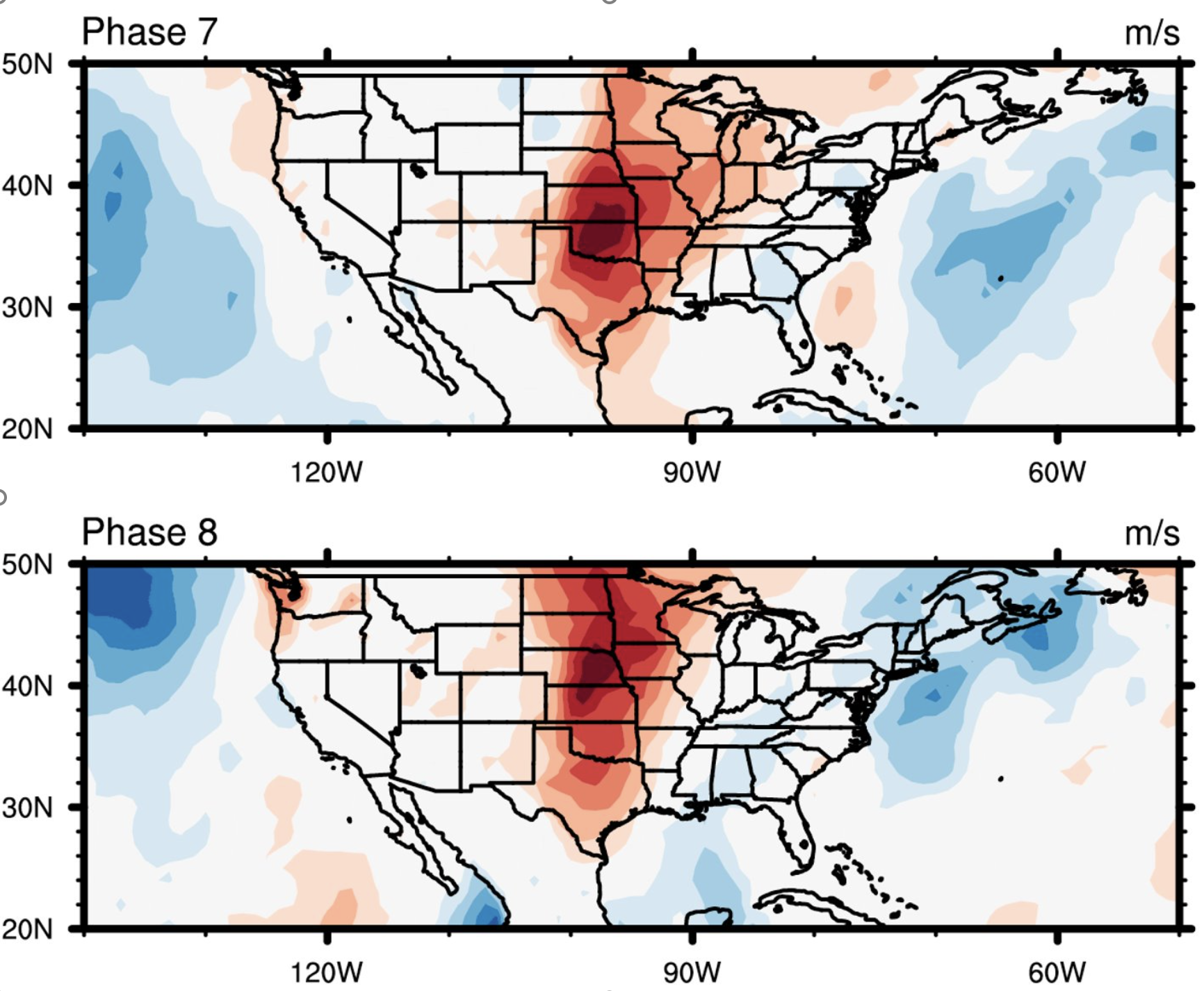
As stated above, the Madden-Julian Oscillation (MJO) is a planetary-scale weather system that can significantly impact extratropical storms propagating over the Pacific Ocean into the United States. Recent studies show that there is increased predictability of temperature and precipitation over the continental United States two to five weeks in advance during particular phases of the MJO lifecycle, evidenced by the recent implementation of Week 3–4 temperature and precipitation probability maps by the Climate Prediction Center (CPC) of the National Oceanic and Atmospheric Administration (NOAA). Our group is applying similar methods to investigate how MJO-extratropical storm teleconnection patterns impact near-surface wind speeds over the United States.
