The MISO TowCam Deep-sea Imaging and Sampling System
Quick Facts
- Operating Depth: Max. 6000m
- Cable Type: Requires two non-polarized conductors. Can be CTD cable 0.233, COAX 0.680 or Fiber Optic 0.681
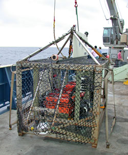
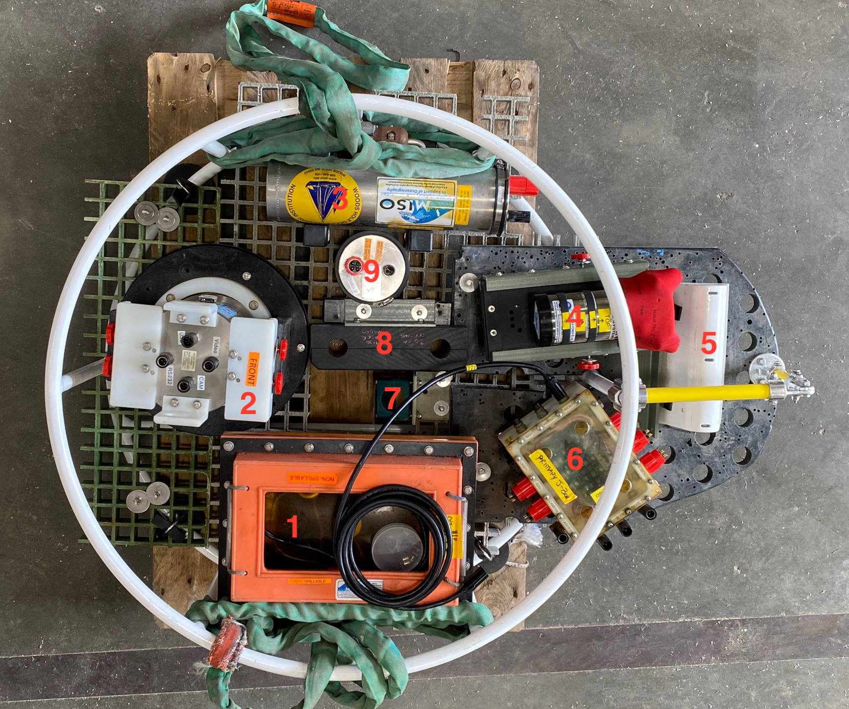
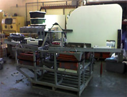
- Available Frames: Three frame types available, one circular and two rectangular. (See photos on sidebar for details).
- Frame Dry/Wet Weights: Frames weigh approximately 700lbs wet weight and 1000lbs dry weight depending on the type of frame without instrumentation. With instrumentation included, dry weight is about 1500lbs, and 900lb wet weight.
- This is approximately the same weight as a standard UNOLS CTD rosette system, and can be deployed using the CTD cable.
Photographs of the seafloor provided some of the first clues about the abundance of life in the deep ocean, lava flows on the mid-ocean ridge crest, and evidence for hydrothermal venting. Photographic and direct observations of the ocean floor are critical to understanding the physical, chemical and biological processes occurring there. Because current digital imaging technology provides the potential for immediate or near real-time analysis of high-quality photographs, the benefits of deep-sea digital photography are significant in terms of ground-truthing interpretations made from high-resolution bathymetry and sidescan sonar data (e.g., acquired by autonomous underwater vehicles (AUVs)). High-resolution imagery from a deep-sea towed camera system can be used to plan other deep submergence vehicle operations (e.g., night surveys prior to diving Alvin, or deployments between switchovers in ROV operation, or simultaneously with AUV operations using Sentry or other AUVs, or other basic seafloor observations. The WHOI Towed Digital Camera System (TowCam) was developed in the early 2000s with NSF funding in consideration of these needs for conducting a many types of seafloor science using both traditional, surface-ship methods, as well as nested surveys employing deep submergence vehicle systems.
Since completion of their construction in mid-2002, the Woods Hole Oceanographic Institution's Multidisciplinary Instrumentation in Support of Oceanography (WHOI-MISO) Facility TowCam systems and the imaging capabilities within MISO (e.g., digital still and 4/5.3k video cameras, deep-sea strobes, LED lights, & control systems - see MISO information summary *link here*) have been used successfully on over 90 research cruises throughout the world's oceans. The WHOI TowCams have been used for seafloor mapping and imaging that span the fields of marine geology, petrology, volcanology, biology, hydrothermal vent mapping, and climate change/deep-sea coral mapping, as well as for education and outreach.
The current MISO imaging and data systems have been used in a wide range of geographic and tectonic environments and have contributed to selecting sites where over 400 samples of volcanic glass, >500 multicore sediment cores have been collected. More than ~2 million excellent deep-sea photographs and video imagery (approximate total volume of data is ~400 TB) have been acquired since these systems have been placed in service). Data from MISO imaging and data systems used on US academic research fleet (ARF) and other oceanographic vessels have been cataloged in the MGDS data archive (http://www.marine-geo.org/index.php) along with relevant navigation, CTD and associated sample information.
The MISO Facility is the only US academic oceanographic facility capable of providing high-resolution towed or lander/sampler-based imaging systems for a diverse suite of observational and sampling objectives that augments existing National Deep Submergence Facility (NDSF) or other deep-submergence vehicle operations (e.g., HOV, ROV or AUVs) used for academic research. MISO Facility equipment is available to all US investigators via the UNOLS Marine Facilities Planning website and ship/equipment facilities request system and the UNOLS ship and facility request form that normally accompanies all research proposals for field work (*links here*).
Digital photography from submersibles, ROV or towed systems, that can work effectively at altitudes of ~2-10 m above the seafloor, permits large-area, vertical incidence, high-resolution images of the terrain to be compiled (in general the elevation of the camera above the sea floor and the camera-to-strobe separation will determine the size of the image and the lighting characteristics). Since 2002, the digital deep-sea cameras developed and implemented as part of the original NSF grant to construct the WHOI TowCams, or on MC800 and MC400 multicorers, have been used on the following deep-sea vehicles: Alvin, ROV Jason2, AUV Sentry, ROV Hercules, Pisces V, ROV SuBastian, ROV Aegir, and Nautile, to collect seafloor photographs on numerous diving expeditions and to expand the imaging capabilities of NDSF vehicles, landers, and other deep-submergence assets in the US and international oceanographic community.
Most recently, over the past five years, the MISO Facility has developed excellent self-contained, fixed-focus deep-sea cameras capable of either 23MP still images or 5.3k cinematic video for extended (~36 hr and ~20 hr), still and video imagery, respectively by using Hero11 camera modules with a special lens and an internal USB Li-ion battery pack behind the DSPL standard water-corrected optics of the DigiSeacam and SuperSeaCam housings which are rated for operations to 6000 m. These new cameras have provided unique capabilities for high-resolution imaging from NDSF vehicles at a variety of seafloor viewing angles (including Alvin's basket), and used on seafloor landers, multicorers and box cores, and have significantly augmented the observational documentation of seafloor features and processes that are crucial for deep submergence science.


