The Problem
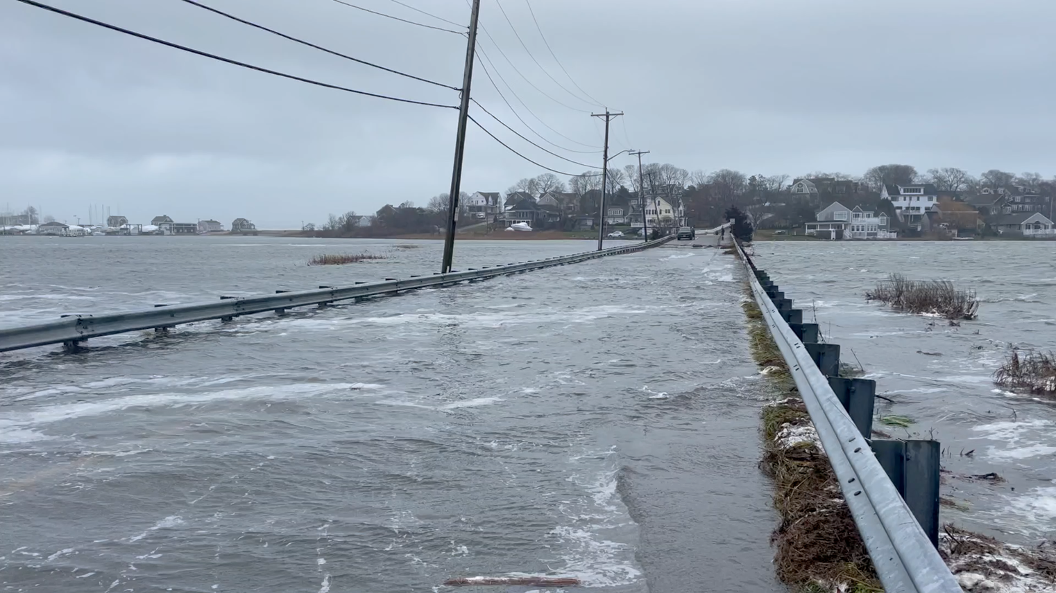
The rate of sea-level rise has accelerated dramatically over the last 60 years. Much of the United States could see sea-levels increase by 10 - 12 inches over the next 30 years. Communities along the coast are experiencing more flooding, impacting our roads, homes, public-health, and safety. Moving into the future, as sea-levels continue to rise, those floods will only get worse.
Coastal communities are investing heavily in resiliency and adaptation to sea-level rise. There is only limited coastal water-level data, missing much of the fine detail in and along the coast. This lack of real-world data means communities do not have the information they need to plan and prepare.
Who We Are
We are scientists and engineers from the Woods Hole Oceanographic Institution that are passionate about helping all communities adapt to the challenges of sea-level rise.
Dr. Sarah Das
Sarah is a glaciologist and climate scientist who has spent over 25 years leading research expeditions to the Arctic and Antarctic to study melting polar ice sheets and their contribution to sea level rise. She is excited to now also be working closer to home, using science-based solutions to improve coastal community resilience.

Dr. Christopher Piecuch
Chris is a physical oceanographer who’s interested in the physics and statistics of sea-level rise and coastal flooding.
Levi Gorrell
With almost 20 years experience in ocean instrumentation, Levi brings experience in instrument design, development, and deployment.
Phase 1
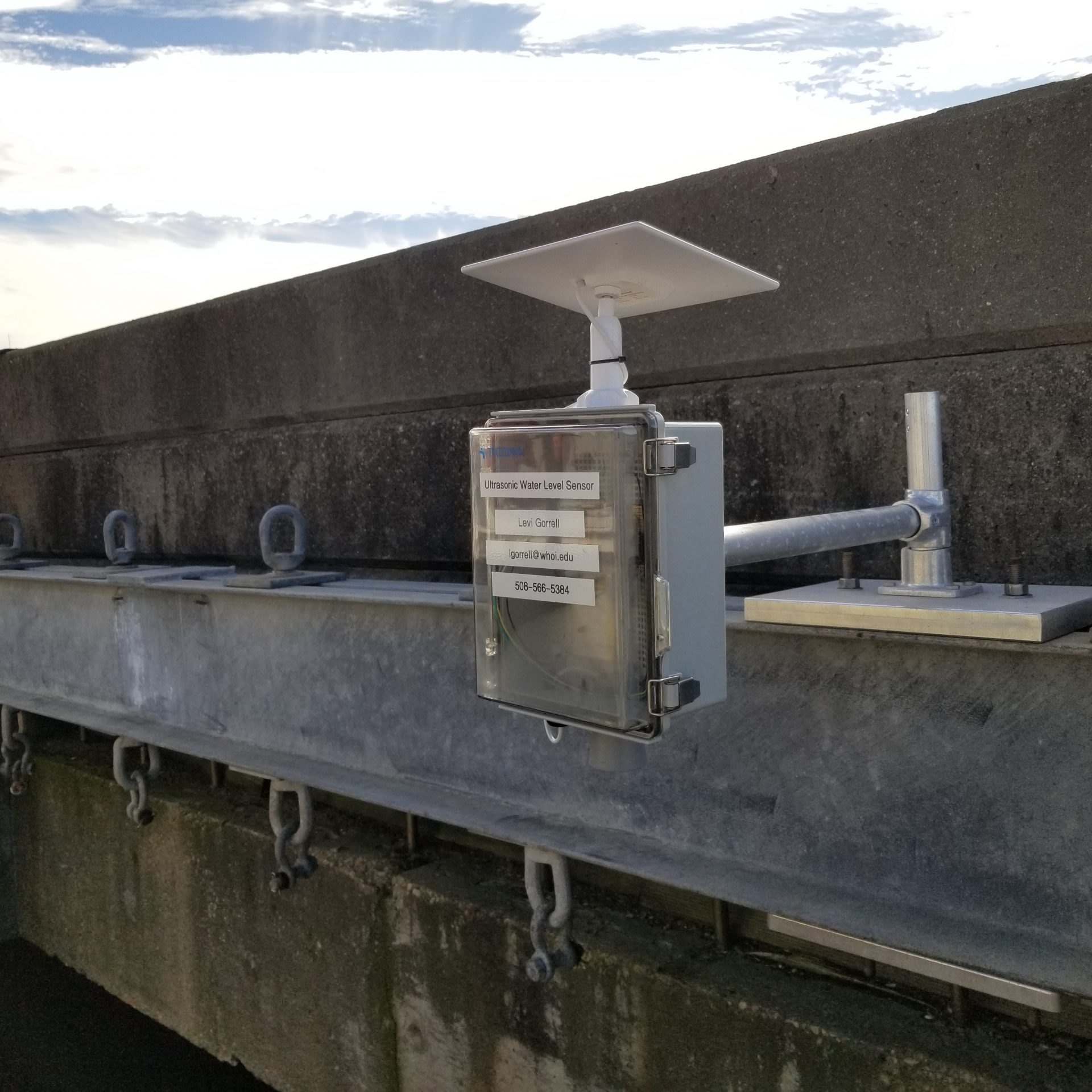
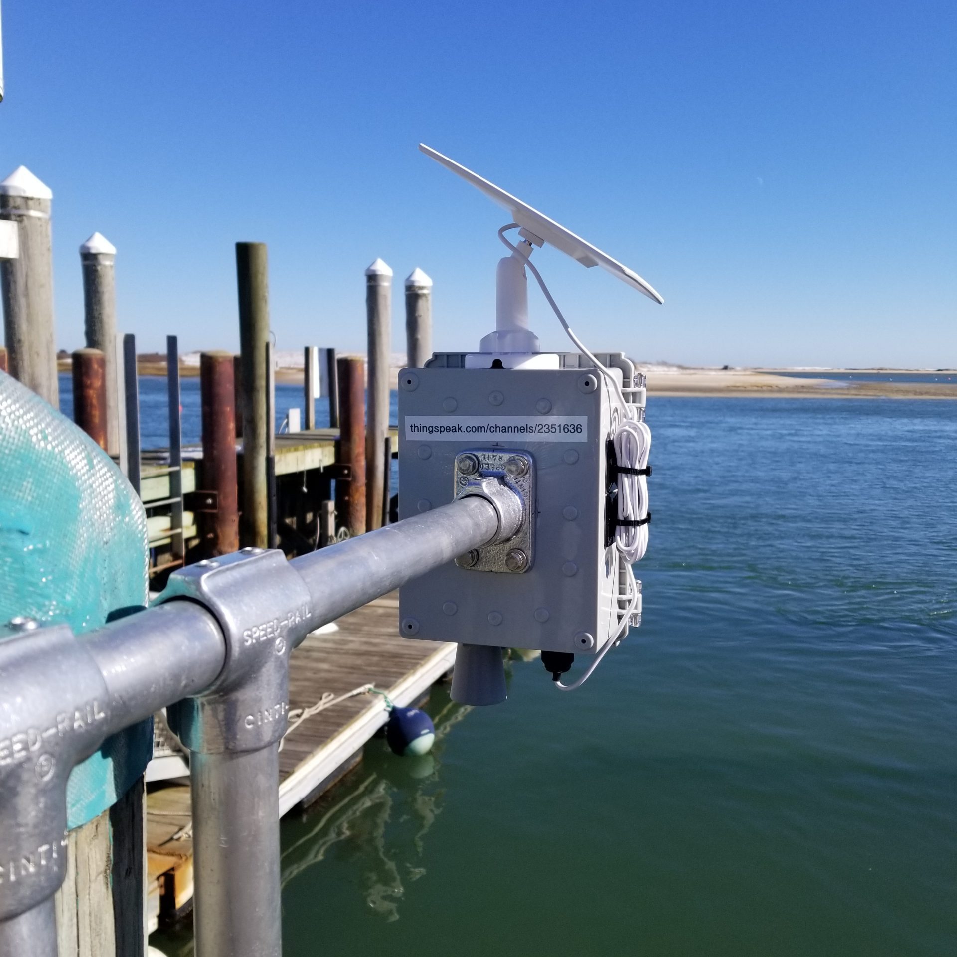
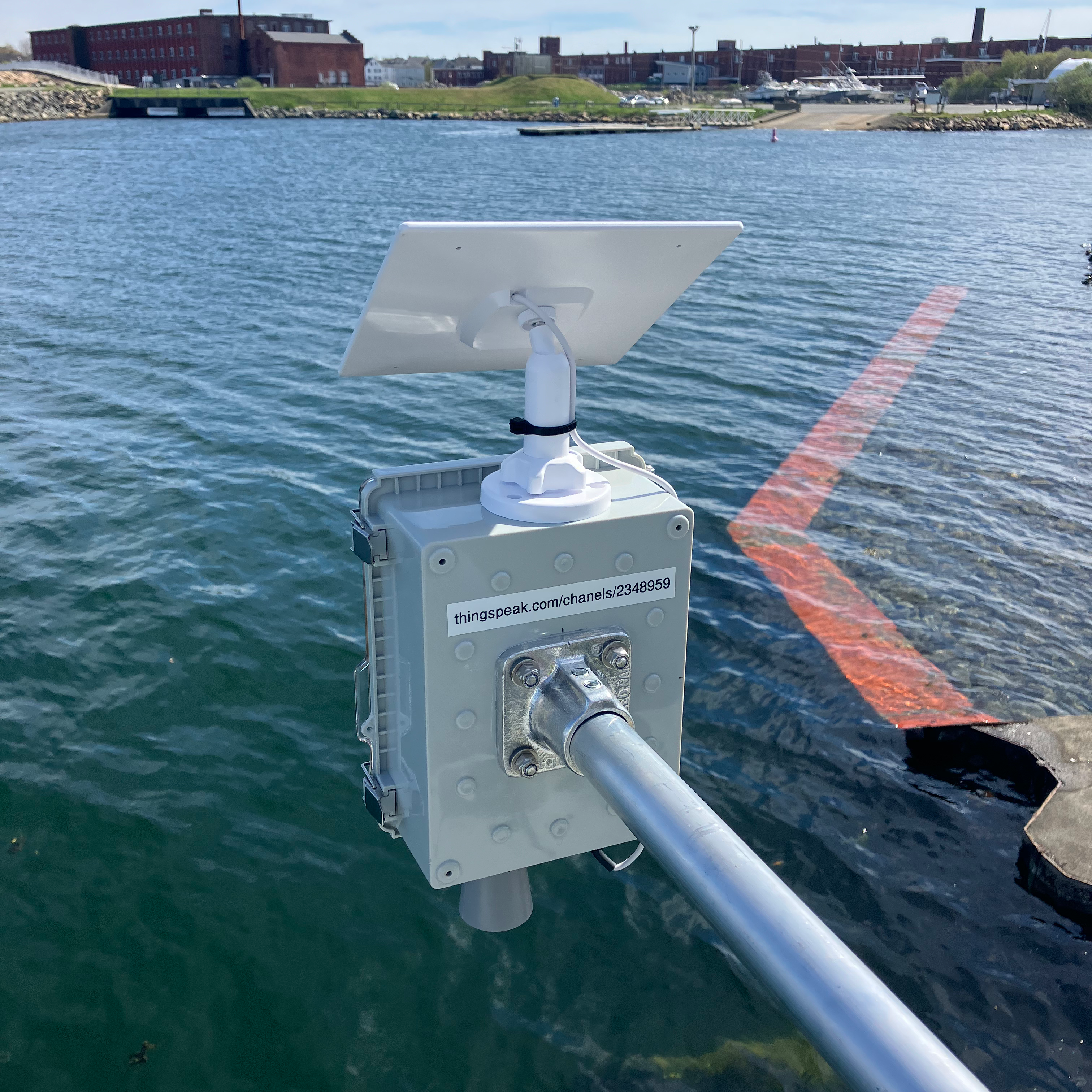
The initial phase of the water level project involved designing and building prototype low-cost water level sensors to deploy near existing NOAA tide gauges for data validation. In this phase, three water level sensors were developed and place adjacent to NOAA tide gauges in Southeastern Massachusetts. The sites chosen were New Bedford, Woods Hole, and Chatham.
Data
Below you will find the data for all of our currently deployed water-level sensors. As new instruments come online, they will be added to this page.
All of our water level data is free and available to everyone. If you would like to see all the data for any one of our sites, please reach out to lgorrell@whoi.edu.