Rifting in the Okavango
Shallow Geophysical Imaging in the Okavango Delta, Botswana: A Pilot Study of Neotectonics Records in an Active Incipient Rift Basin
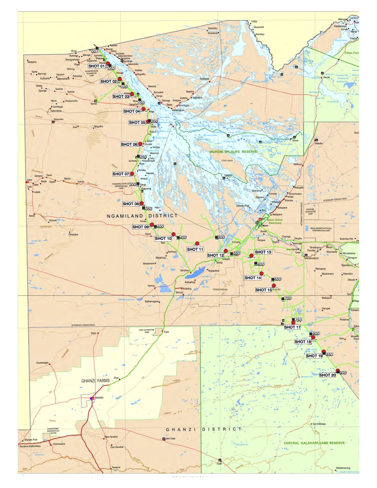
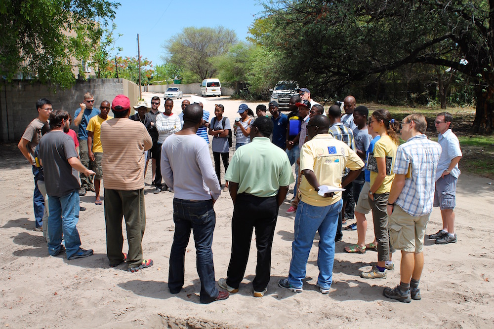
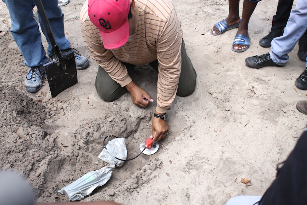
The goal of this project is to test different methodologies for imaging shallow faults and the sedimentary stratigraphy of the Okavango Delta, Botswana. We used several geophysical imaging tools from WHOI’s Coastal Systems Group: ground-penetrating radar (GPR), chirp acoustic sub-bottom profiler, and electrical resistivity (ER) profiler. We targeted channels that cross major faults (Gumare, Tsau, Lecha, Kunyere and Thamalakane) that are known to break the surface. We surveyed channels both in the upper and distal ends of the delta which have distinct types of sedimentation (clastic vs. chemical, respectively) and sedimentation rates, as well as major and minor channels in both areas.
Funding Agencies
SEISORZ
This research is supported by the US National Science Foundation (award EAR-1010432).
Shallow Geophysical Imaging
Funded by the WHOI Interdisciplinary Awards, The Joint Initiative Awards Fund from the Andrew W. Mellon Foundation.
Collaborators
Woods Hole Oceanographic Institution: Dan Lizarralde, Liviu Giosan
University of Botswana: KB Laletsang, Lucky Moffat, Motsoptse Modisi
University of Texas at El Paso: Steve Harder, Galen Kaip
Oklahoma State University: Estella Atekwana

