Field Methods
Find the Best Site
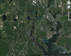
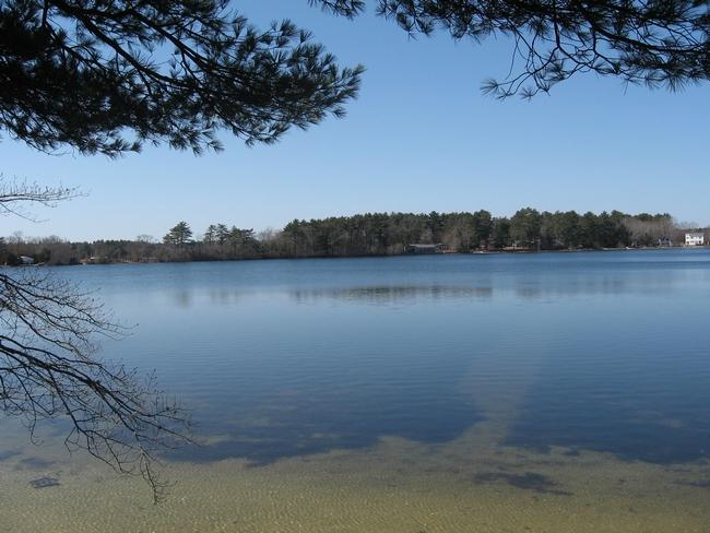
Our first step, before we even leave the lab, is to do a Google Earth search to find a pond that may be a potential site of interest. The picture below shows a Google Earth image of Blackmore Pond, in Marion, Massachusetts. We chose this site because of its proximity to Buzzards Bay, which indicates that it is susceptible to storm surge and flooding generated by hurricanes. Because of this susceptibility, Blackmore Pond sediments may have evidence of paleo and historic hurricanes preserved in the sediment history.
Reconnaissance
Our next step is to do a reconnaissance trip to the site to check if it is worth coring. During this trip, we do several tasks. First, we have to check the accessibility of the pond for our truck and coring equipment, as well as whether the local residents will allow us to core. Easy public accessibility to a site is an essential factor in whether or not we can core the pond.
Making a Depth Map- Bathymetric Data
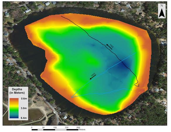
Next, we take several geophysical surveys of the area. These include creating a bathymetric (depth) map of the site and imaging the subsurface sediment at the bottom of the pond.
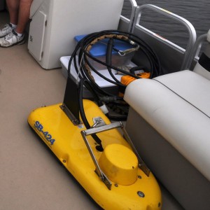
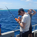
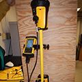
To create a bathymetric map, we use a HydroLite. The HydroLite combines GPS technology with echo sound to create a depth map of the pond. We use this map to help decide where to core. It is usually best to core in the deepest area of the pond, because this is where the most sediment accumulates.
Making a Subsurface Map- Geophysical Data
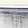
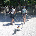
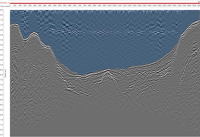
To image the subsurface sediment at the bottom of the pond, we use either Ground Penetrating Radar (GPR) or Chirp Sonar. For Blackmore Pond, we used GPR instead of Chirp Sonar, because GPR works better in fresh water. This geophysical technique sends electromagnetic waves into the sediment, and it creates an image of the subsurface showing layers of coarse grains in the sediment. In the image, the thicker black lines indicate coarser grains. We use this technique to decide where the best location for coring is, because we want to core prominent sand layers.

