Uncategorized
North Carolina
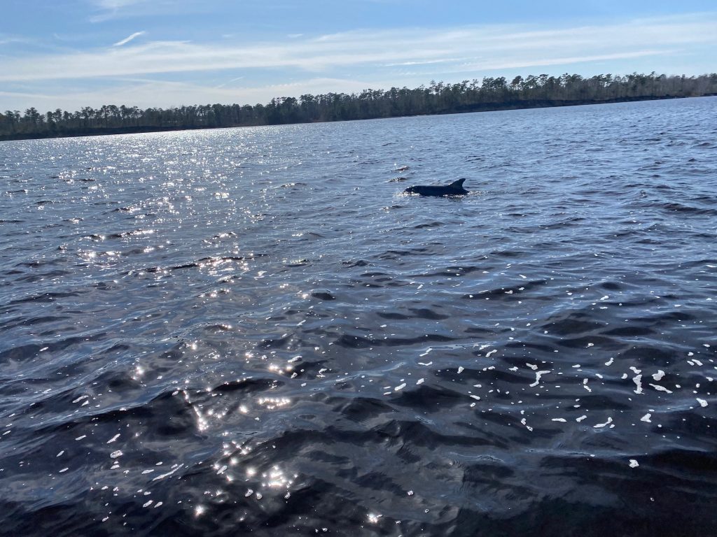
BY EMILY GRIFFIN, NORTHEASTERN GUEST STUDENT Nice big, boat ramps in North Carolina! On February 18, 2020, the Coast Systems Lab drove down to North Carolina to get sediment cores and find out more information about hurricanes that have occurred there in the past. The team included myself (Emily Griffin, a Guest Student), Ethan St.…
Read MoreHurricane Michael
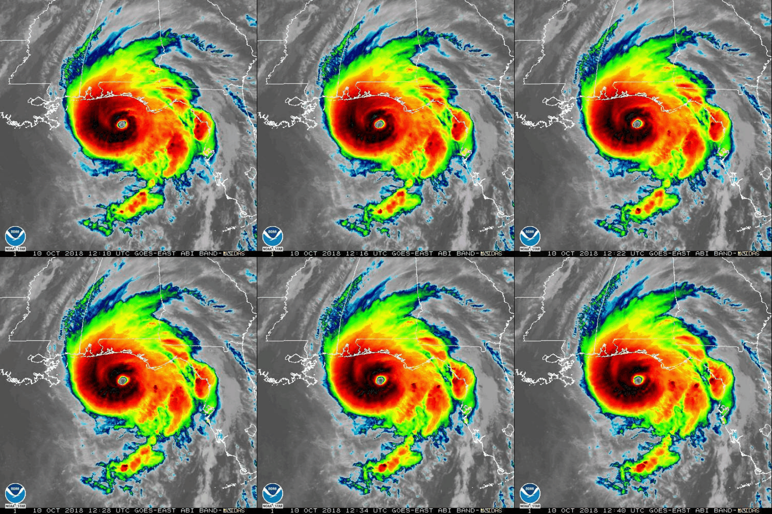
Michael made landfall at Mexico Beach, Florida as a category 5 hurricane in October 2018. The storm resulted in 16 deaths and about $25 billion in damages. Bird’s eye view of Mullet Pond. Two of our study sites, Shotgun and Mullet Pond, are located ~63 miles from Mexico Beach. We are interested to see if…
Read MoreFinding Floods
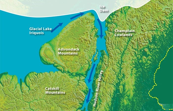
By: Simon Pendleton, WHOI Postdoctoral Scholar Fortunately, Kingsley was there to keep us on schedule. While September may be the end of the summer season in upstate New York lake country, it is prime time to go lake coring! Earlier this fall the CRL group took a break from marine excursions to pack up the coring…
Read MoreDead Storm Hunting: Fiji and Vanuatu
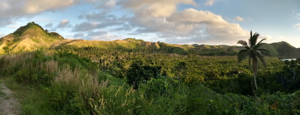
By: James Bramante, PhD student in the MIT/WHOI Joint Program This blog is cross-posted on the Broader Impacts Group website. Hills and mangrove forest near Vanua Balavu village, Fiji. Photo credit: J. Bramante Fiji and Vanuatu are island nations in the tropical South Pacific. There’s nothing like arctic weather to make you nostalgic for tropical fieldwork. During…
Read MoreHunting Paleo-Fires in Jamaica
by Dana MacDonald Students learning how to identify macro charcoal. The University of the West Indies (UWI) – Mona Campus Kingston Jamaica hosted a two-day workshop on identifying and analyzing macro-charcoal from sediments to characterize past fire regimes on May 3rd and 4th, 2017. Two days were devoted to exploring techniques and research tools from…
Read MoreIn The Trenches
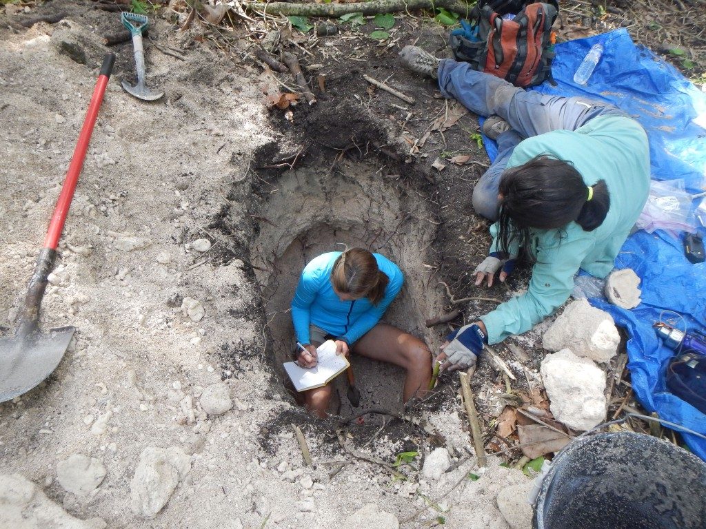
Stephanie Madsen and Aleja Ortiz note stratigraphic changes on Eneko Island in the central Pacific. Sure, acoustic sub-surface imagery and ground penetrating radar are great. Resistivity sensors and magnetometers can tell us so much. We can learn a lot from X-Ray Diffraction scans and radiography. But often the best way to understand the Earth beneath…
Read MoreA Family Affair
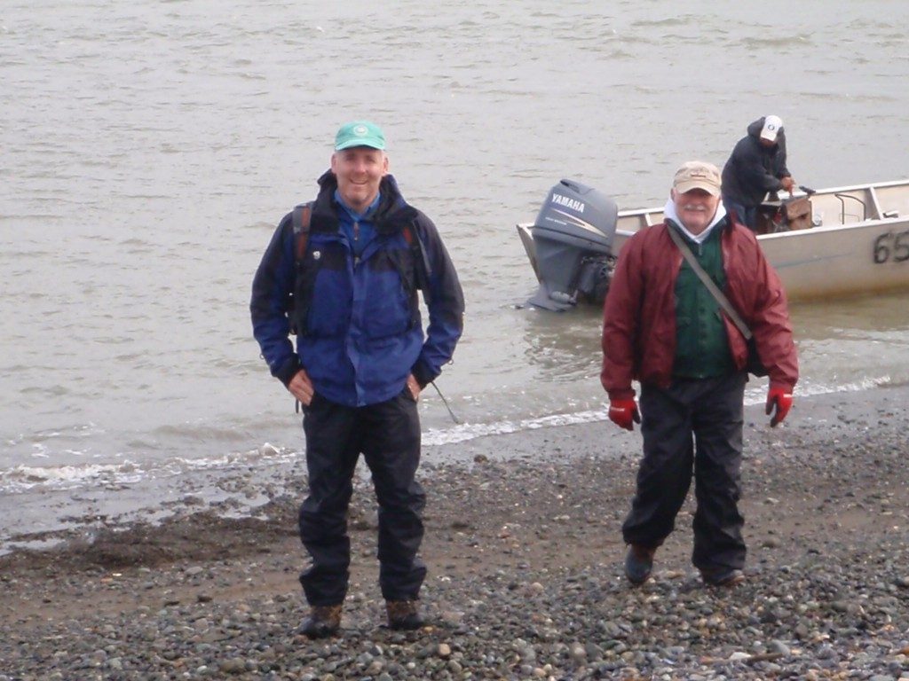
Whether exploring remote wilds, asking questions in our own backyards, or helping out in the lab you’ll find the Donnelly’s are hard at work. In 2010 Jeff Donnelly’s father, Pat, was fortunate enough to accompany the team to Good News Bay in Alaska as part of a project investigating high latitude barrier beach development Jeff…
Read MoreUnalaskan Rodeo
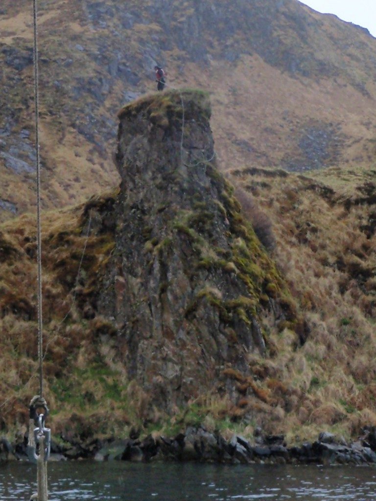
The problem, in the deep and narrow confines of Naginak Bay on Unalaska Island in the Aelutians, was that the anchors kept slipping. A successful coring operation requires that the coring platform stays still and does not drift off station. While high-tech solutions such as dynamic positioning can be used on larger and more expensively…
Read MoreEverything Should Be Waterproof
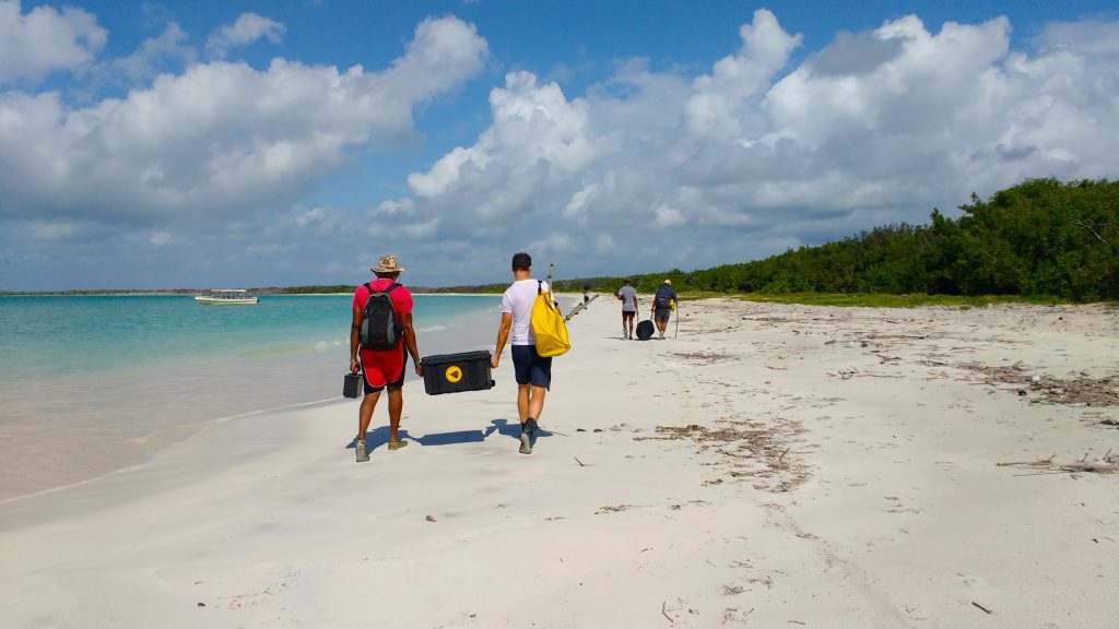
On a recent field expedition to the remote western end of Kwajalein Atoll in the central Pacific, the team encountered a different sort of problem than what they’re used to. There was no safe place for the boat to land. The shallow reef flat and heavy surf prevented the 50′ boat supplied by the US…
Read MoreHole in One
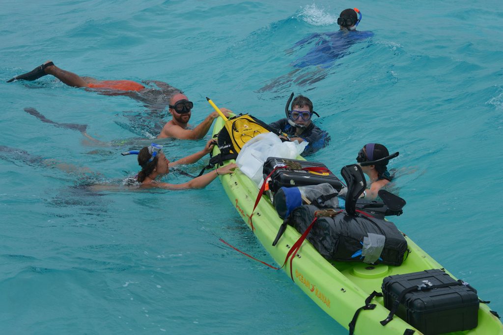
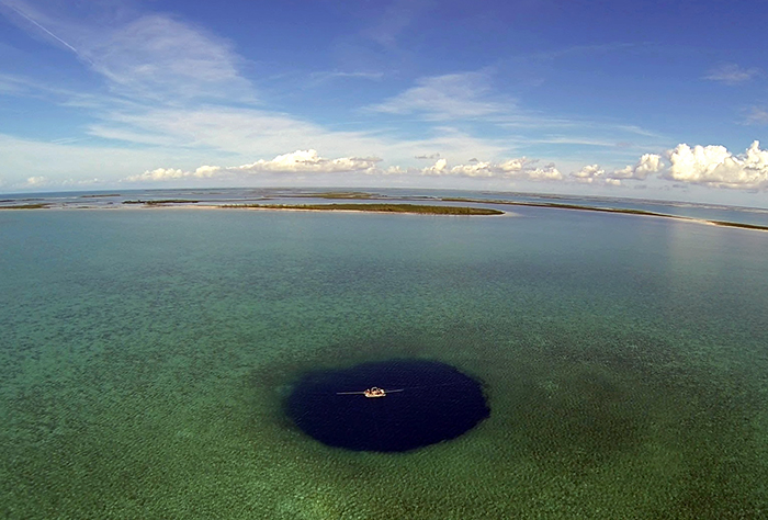
WHOI geologist Jeff Donnelly and research assistant Richard Sullivan recently joined Texas A&M University at Galveston (TAMUG) geologist Pete van Hengstum and undergraduate student Tyler Winkler in collecting cores from Thatchpoint Bluehole. It is thought that blueholes form when rising seas flood a sinkhole, formed when limestone bedrock is dissolved from below by groundwater and collapses. The team collected…
Read More
