Research area #3: Urban geochemistry
Metal Redlining Network
Redlining is the systemic disinvestment in communities based on race, class, or other factors where marginalized communities face the brunt of inequities. Beginning official in the 1930s, neighborhoods rated by the Home Owner Loan Corporation according to "residential security", where desirable neighborhoods were given "Type A" ratings and "hazardous" neighborhoods were given "Type D" ratings. This rating system was used in determining mortgage risk assessment by banks. Unsurprisingly, Type A neighborhoods with typically the most affluent and least ethnically and racially diverse, while Type D neighborhoods primarily consisted of minoritized communities. Though redlining has been outlawed since the 1970s, the ramifications of historic housing discrimination practices are still observed today.

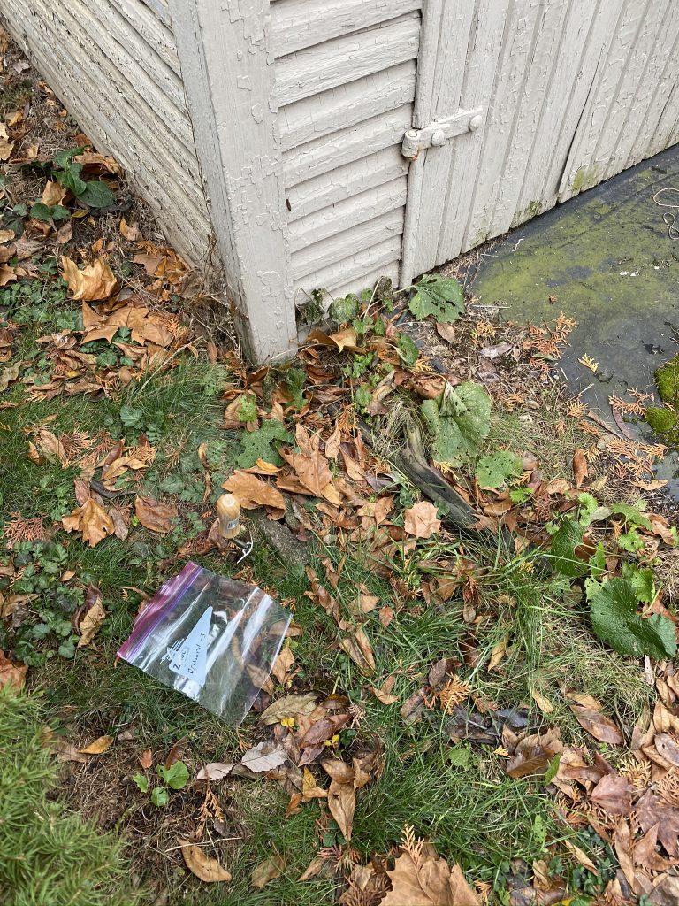
Persistence of lead paint
The central goal of the Metal Redlining Network is to build a cross-city network that empowers research, education, and policy advocacy that advances health equity. We collaborate around a shared research question: Has redlining resulted in an unjust metal burden?
The Metal Redlining Network is motivated by a desire to advance geochemical knowledge as well as social and environmental justice. We seek to share strategies with each other and broader audiences on how to work in and with communities to advance outcomes.
I am leading efforts in Columbus, OH to understand the distribution of lead concentrations across the city. We hope to specifically examine metal pollution associated with the residential security zones. I hope to expand this work to investigate how urban housing development and gentrification influence the mobility of toxic metals in soils.
Intersection of hydrology and agriculture
Concentration-discharge (C-Q) relationships provide insight into solute transport and biogeochemical processes for watersheds. A 30+ year, high-resolution dataset from the North Appalachian Experimental Watershed (NAEW) offers an unparalleled opportunity to explore land use and land management impacts on C-Q relationships for small watersheds of varying land management (agricultural to forested). The NAEW is among the few hydrologic research sites where streams and runoff only sites were sampled using proportional sampling. This method captures the concentration-discharge behavior associated with land use more effectively than instantaneous sampling, which favors rising limb or falling limb dynamics. As such, this is one of few studies to explore C-Q relationships by investigating baseflow and event flow across their total behavior.

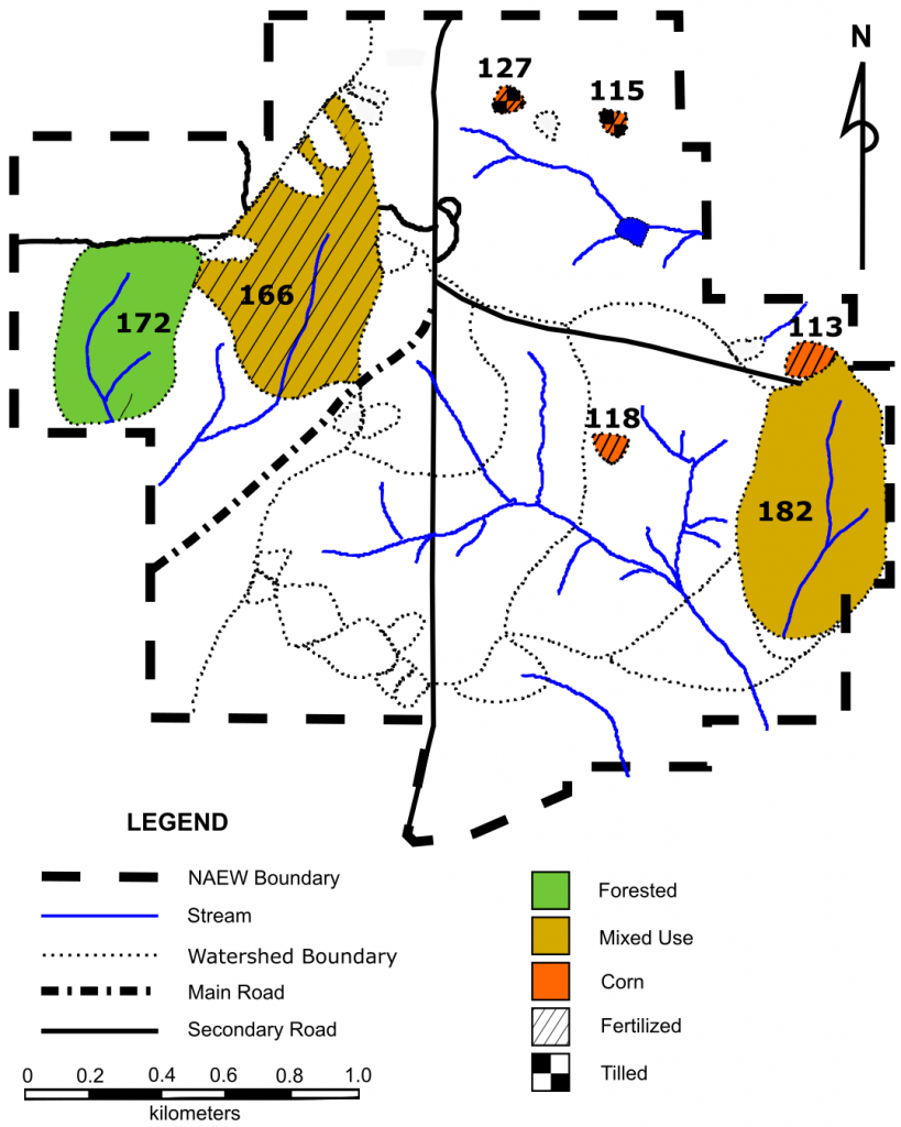
Map of the North Appalachian Experimental Watershed near Coshocton, OH. The watersheds analyzed in this study are shaded.
We build a systems-understanding by comparing chemostatic behavior to soil and land use history. Highly managed agricultural watersheds with no baseflow demonstrate near-chemostatic behavior for most solutes, while mixed use and forested watersheds with associated streams are more mutable. Using this unique high-resolution dataset, we show that concentration-discharge relationships are influenced by soil and baseflow chemistry, pore fluid concentration, and legacy affects. (Manuscript in revision)
Partners/Collaborators
Earlham College, Wittenberg University, Indiana State University, Savannah State University, Antioch College, Eastern Washington University, Virginia Tech, DePauw University, The Ohio State University.
Related Links and Files
Research Papers
- An undergraduate course-based soil lead research and partnering model to address systemic racism and the enduring legacy of redlining (ENV-2021-0013). (In Press in Environmental Justice)