RIVET: Rivers and Inlets: New River Inlet, NC
Collaborators:
Peter Traykovski and Rocky Geyer
Background
Tidal inlets and river mouths are sites in which the interactions between tidal currents, waves and bathymetry are all important contributors to the sediment transport processes, resulting in rapid variations in morphology. The Inlet and River Mouth DRI provides the opportunity to advance our understanding of these interactions, improve our ability to measure the bathymetry, currents and waves in these hostile environments, and develop predictive models of the hydrodynamics and morphodynamics of these systems.
APPROACH
In order to measure the processes responsible for inlet morphologic change we plan to conduct repeat bathymetric and hydrographic surveys along with in-situ time series measurements of water velocity (waves and currents), sediment transport (both suspended load and bedload via bedforms migration) and bed elevation.
OBJECTIVES
- Quantify morphological change associated with storms and tidal forcing, and quantify the physical mechanisms causing the change (i.e., the specific wave-current-bathymetry interactions leading to divergence of sediment transport).
- Measure the currents, sediment-transport processes and bedform evolution in the bottom boundary layer in the energetic ebb-tidal shoals, where nonlinear interactions between waves and tidal currents are critically important to the sediment transport and the morphological response to changing forcing conditions.
- Develop instrumentation to make essential measurements for objectives 1 and 2. This includes a surface running REMUS-100 with a carrier phase GPS antenna that will remain exposed, and a multi-beam system for bathymetric surveys. Our Dopplers profilers are also in the process of being upgraded to bistatic convergent beam sampling for better resolution of near bed turbulence.
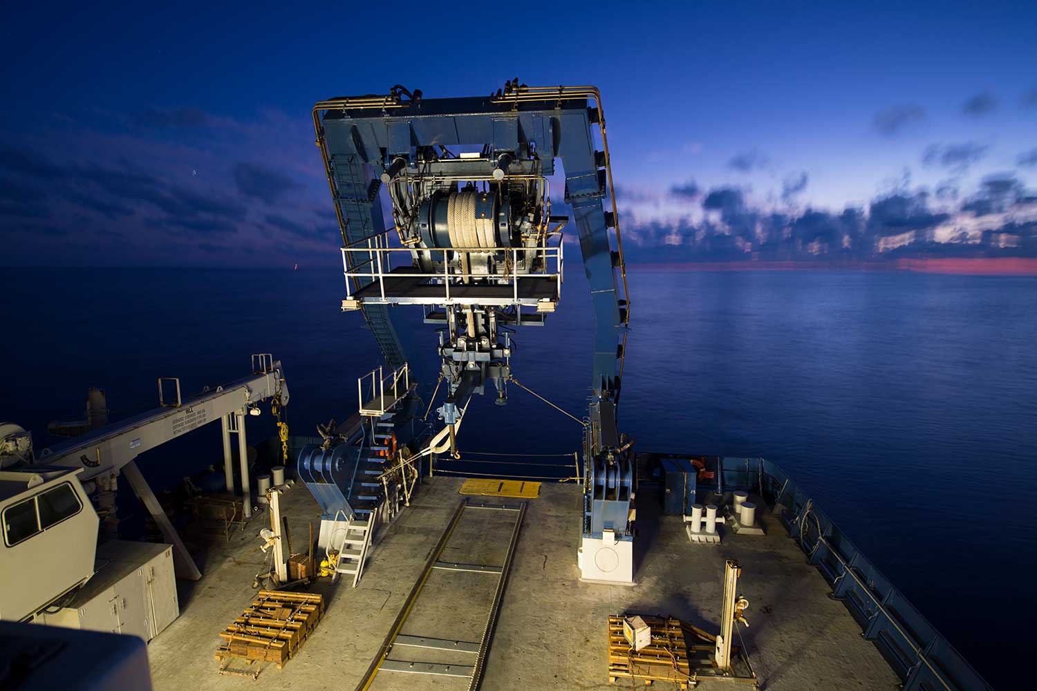
Bathymetric Surveys: In order to produce accurate and repeatable maps of morphologic change at scales ranging from ripples to channel and shoal migration, we plan to use a REMUS-100 with cm accuracy phase carrier resolving differential GPS and sidescan and multibeam sonar system, (Figure 2). The GPS antenna will be mounted on a surface-piercing mast so the accurate positioning data will be available at all times under calm conditions. The vertical reference provided by the GPS is essential, because neither pressure nor water surface elevation is a suitable reference for measuring bedforms under swell. The multibeam will provide digital elevation with a swath width roughly twice the water depth (2×h), and the side-scan with a swath width 10×h will allow measurement of small scale bedform morphology and overlapping tracks for larger scale bathymetry. The REMUS surveys will be complimented by standard shipboard ADCP, Bathymetry surveys with the same GPS system for a highly constrained vertical reference frame.
Instrumented Frames: In order to measure time series of hydrodynamic and sediment processes we plan to deploy quadpods with downward-aimed pulse coherent Doppler profilers (pcADPs), Acoustic Doppler Velicometers (ADVs), Acoustic Backscatter profilers (ABSs), and a rotary sidescan and pencil beam sonar system. We expect the combination of waves and strong tidal currents to produce velocities in excess of 2 m/s, which is beyond the limits of commercially available high resolution Doppler profilers. The multi-frequency pcADP that we have recently developed overcomes the traditional range-velocity ambiguity limitations via an inverse that takes advantage of the multiple velocity aliasing points associated with the different frequencies. The rotary sonar systems will measure the response of small to medium scale (rotary sidescan ranges can extend to 10 to 15 m in 2 m water depth) bedforms to the hydrodynamic forcing and measure bedform migrations rates as a proxy for bedload transport. The ability to measure both bedform migration and suspended flux is essential to examine the relative and combined roles of non-linear wave forced sediment transport and mean current forced sediment transport.
Results Movies: (links to VIMEO hosting site) 1)Bedform evolution in the SW (New) Channel of New River Inlet showing on tidal time scales as imaged by a rotary sidescan sonar. From Traykovski's Quadpod 20 m NW of the #4 Red Channel marker. 2)Bedform evolution in the NE (Old) Channel of New River Inlet showing on tidal time scales as imaged by a rotary sidescan sonar. From Traykovski's Quadpod 250 m NE of the #4 Red Channel marker.
Data Sharing linksNortek Vector ("ADV") Velocimeter Data. U (along channel -ebb, + flood),V (across channel -SW, + NE ) W and pressure data from our two instrumented frames Processed 20 min averaged data (U, V, Hs, Tp, P), height of velocity sensor sampling volume off seafloor (z_vel) and height of pressure sensor sampling volume off seafloor (z_pres).
U,V Data was rotated in into an along channel coordinate system with +U in flood direction. E,N data is geographic coordinates referenced to true north.
theta rotates from X,Y,Z (frame / instrument) coordinates to along (U) and across (V) channel coords)
% v=-x*sind(thetad)+y*cosd(thetad);
% u=x*cosd(thetad)+y*sind(thetad);
% theta_u=theta_frame-theta;
theta_frame rotates from X,Y,Z (frame / instrument) coordinates to east (E) and north (N) geographic coords). mag variation is 9deg 15 min + 2 min *4= 9 deg 23 min
Postion of frames in varaible lat and lon. Link to google drive sharing site:
myd is time in matlab serial date number format
data updated 5/3/2013 with rotation angles
https://drive.google.com/folderview?id=0B-O7NMkrpqL6Q0hrTk1kSkNjenc&usp=sharing
Please contact ptraykovski@whoi.edu for raw data or further questions or infomation about bedform imaging sonar data, pulse coherent Doppler profile, and sidescan survey data. Contact rgeyer@whoi.edu about ADCP survey data

-
- This is the caption

Funding Agencies
