In the News
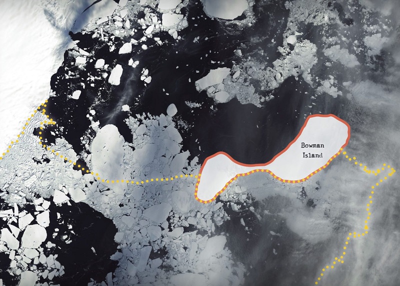
A Cold Case, Filed
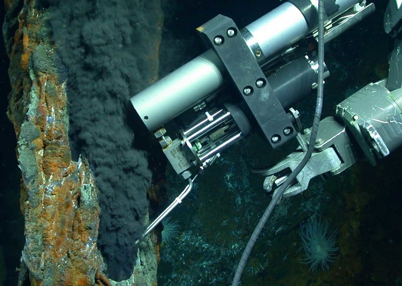
Three Memorable Jason Dives
Jason has driven over live volcanos, navigated to new hydrothermal vent fields, and encountered animals of all sizes in the last few decades. The science team reveals the three most memorable dives.
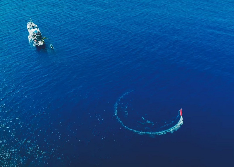
Group Chat
Three ocean robots worked together as a team to explore ocean dynamics as a freshwater plume event unfolded off the coast of Oahu. The science team investigated how something like a freshwater plume can affect factors like water density and animal behavior in different layers of the ocean.
Robots to the Rescue
As designs and technology continue to evolve, robots of the future will be integral in understanding some of the biggest challenges facing the ocean including the climate crisis and dying coral reefs.
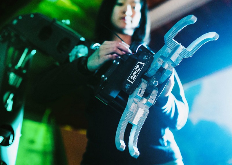
Automating Exploration
Joint Program Student Amy Phung has been testing out the concept of pairing virtual reality headsets with ocean robot manipulator arms. During a recent NOAA Ocean Exploration research cruise, she was able to control the hybrid remotely operated vehicle (HROV) Nereid Under Ice (NUI) as it took a sample from the seafloor more than 3,000 miles away.
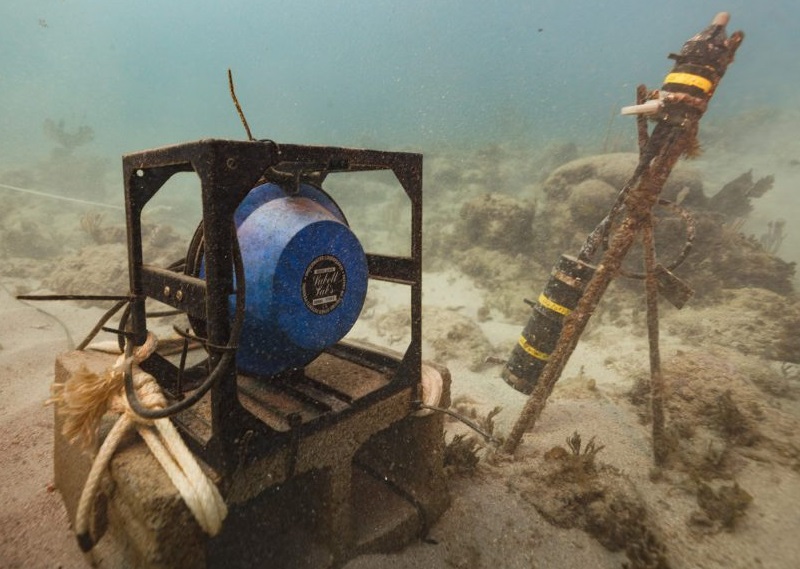
Can Sound Help Save Coral Reefs?
WHOI engineers and scientists are developing an underwater “acoustic enhancement system” that uses healthy reef sounds to attract coral larvae to reefs. Coral larvae are more likely to settle onto a vibrant, noisy reef than on one lacking a complex soundscape.
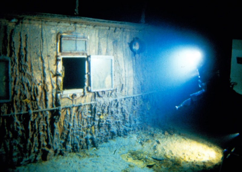
Rare video footage of the RMS Titanic released
To celebrate the 25th Anniversary of the movie Titanic, WHOI showed 80 minutes of rare video footage from the 1986 expedition that explored the famous wreck. The newly released video highlights the remarkable achievement by the team to bring iconic images of the ship back to the surface.
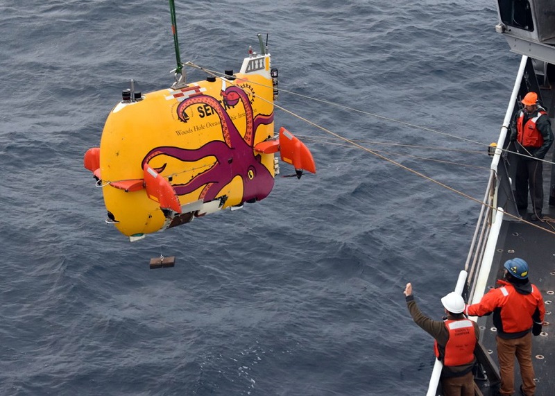
How does Sentry know where it is?
New software enables Sentry to course correct while using a map of the area to recognize where it is. These improvements will allow observations of seafloor changes from year to year to track phenomena such as volcanic activity.
Sargassum Serendipity
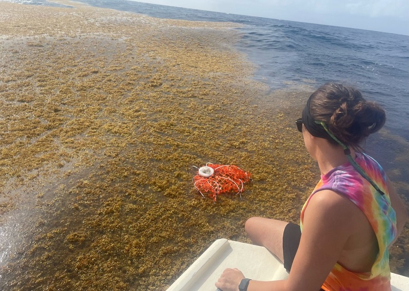
Joint Program Student Chase Pixa and DSL engineers designed a drifter to float on ocean currents to track sargassum, a seaweed that has proliferated in recent years in the Caribbean. Like other types of algae, sargassum blocks sunlight from reaching corals, and when it decays, it sucks up oxygen from the water, killing marine life.
When Will Antarctica's Ice Cliffs Come Crashing Down?
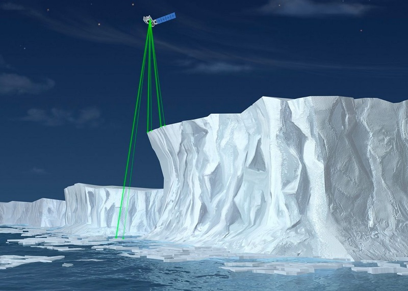
Assistant Scientist Catherine Walker studies the dynamics of ice on Earth and in the universe. The height of ice cliffs around the continent, and the predicted height they will reach before collapse, is important for sea-level rise models and assumptions for how high the seas will rise.
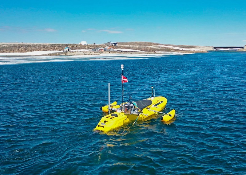
Navigating the Changing Arctic
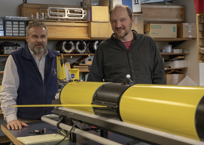
The newly developed Polar Sentinel glider will have the ability to collect critical and scarce ice thickness measurements from the Arctic.
