Dispatch 5: Flurries and Sea Ice!
Jennifer Kosty (Yale University)
September 23, 2025
15:00 local, 72.12◦N, 133.25◦W
Conditions:
- Flurries
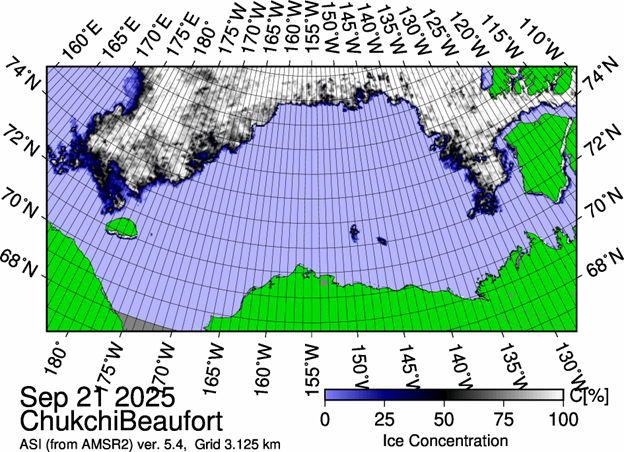
- 30% sea ice cover
- -1◦C
- Sunrise: 23-Sept-2025 08:38
- Sunset: 23-Sept-2025 20:49
- Day length: 12 hours, 11 minutes
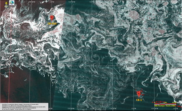
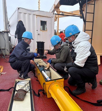
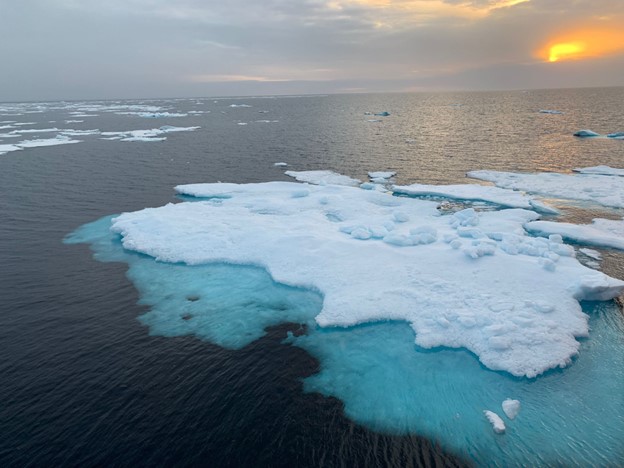
We woke up this morning to snow flurries and sea ice! Now that we are entering areas with higher sea ice concentration, the ice observing team from Japan (Kazu Tateyama, Shotaro Muraoka, Takuji Waseda, and Michiharu Shibata) spent the morning setting up their electromagnetic sensor (EM-31) which will continuously measure sea ice thickness along the cruise track. The EM-31 system will be mounted near the bow of the ship, approximately 5 m above the sea surface, where it will measure sea ice thickness before the ship breaks apart the ice.
At 1 pm, the team conducted their first visual ice observation from the ship’s bridge. Kazu Tateyama explained the ice observing protocol which includes recording the ship’s position, estimating the total sea ice concentration, describing the ocean state (open water, leads, breaks, etc.), estimating the sea ice thickness, and describing the local meteorology (e.g. visibility, precipitation, cloud cover, winds). These visual observations will be conducted hourly, with each member of the team taking a 6-hour shift. Similar observations are made by all Arctic ice breakers, and the data are used to document the current state of Arctic sea ice.
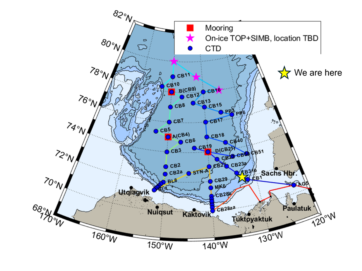
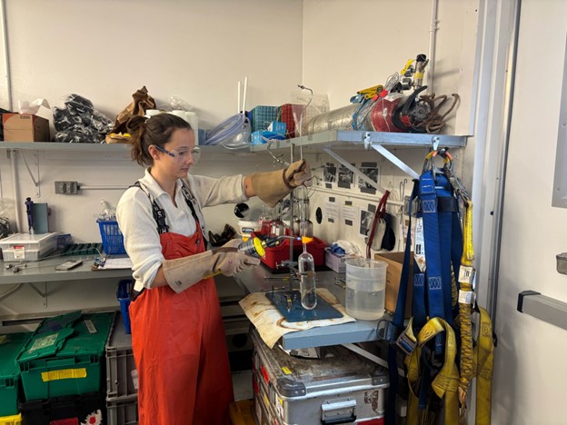
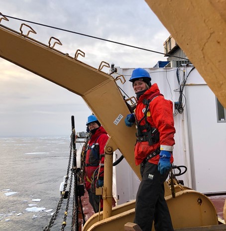
We arrived at our second science station (CB-1) around 9:30 in the morning, where the night watch completed another CTD rosette cast. The rosette was lowered down to a depth of 1070 m and returned safely to deck for another round of sampling. The team from ETH Zurich (Annabel Payne and Marguerite Larriere) collected their first CFC12/SF6 gas tracer samples here. These samples are easily contaminated by exposure to the atmosphere, so the sample ampules must be sealed with a blow torch and ultra-pure Nitrogen before they are sent for analysis in Germany!
We will be arriving at our third science station (CB-31b) later this evening and anticipate arriving at CB-23b in the early hours tomorrow morning.
