Dispatch 13: The RS Line
Jennifer Kosty (Yale University)
October 1, 2025
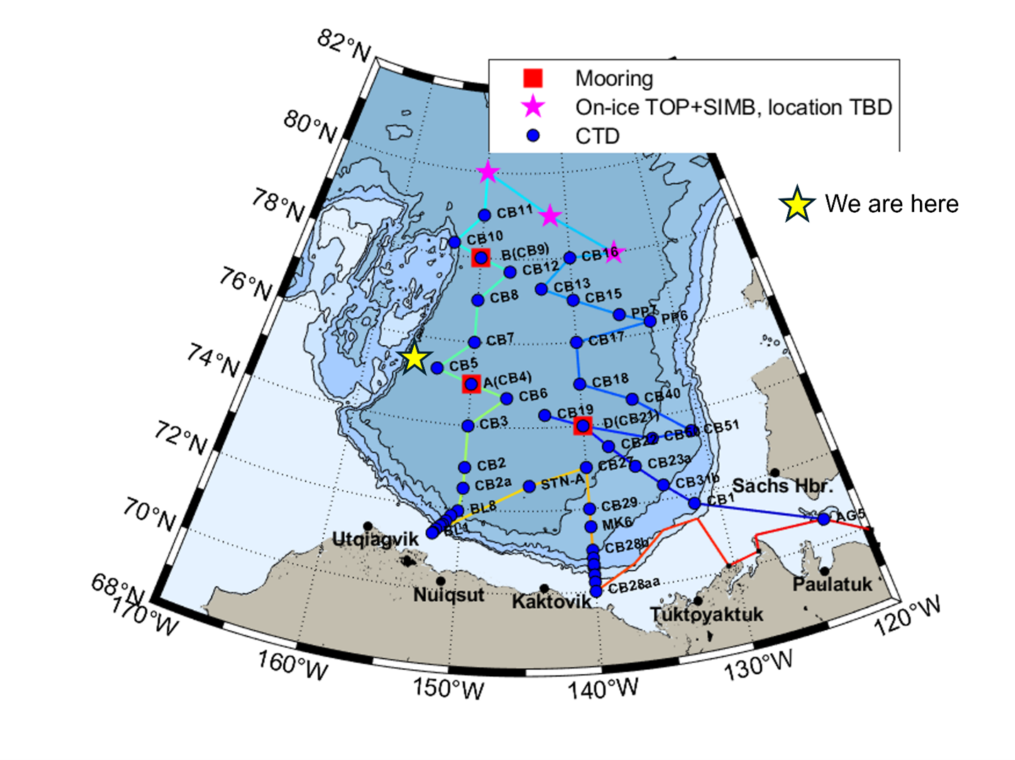
23:00 local, 75.36◦N, 156.08◦W
Conditions:
- Cloudy, windy
- 70% sea ice cover
- -8◦C
- Sunrise: 1-Oct-2025 10:54
- Sunset: 1-Oct-2025 21:31
- Day length: 10 hours, 37 minutes
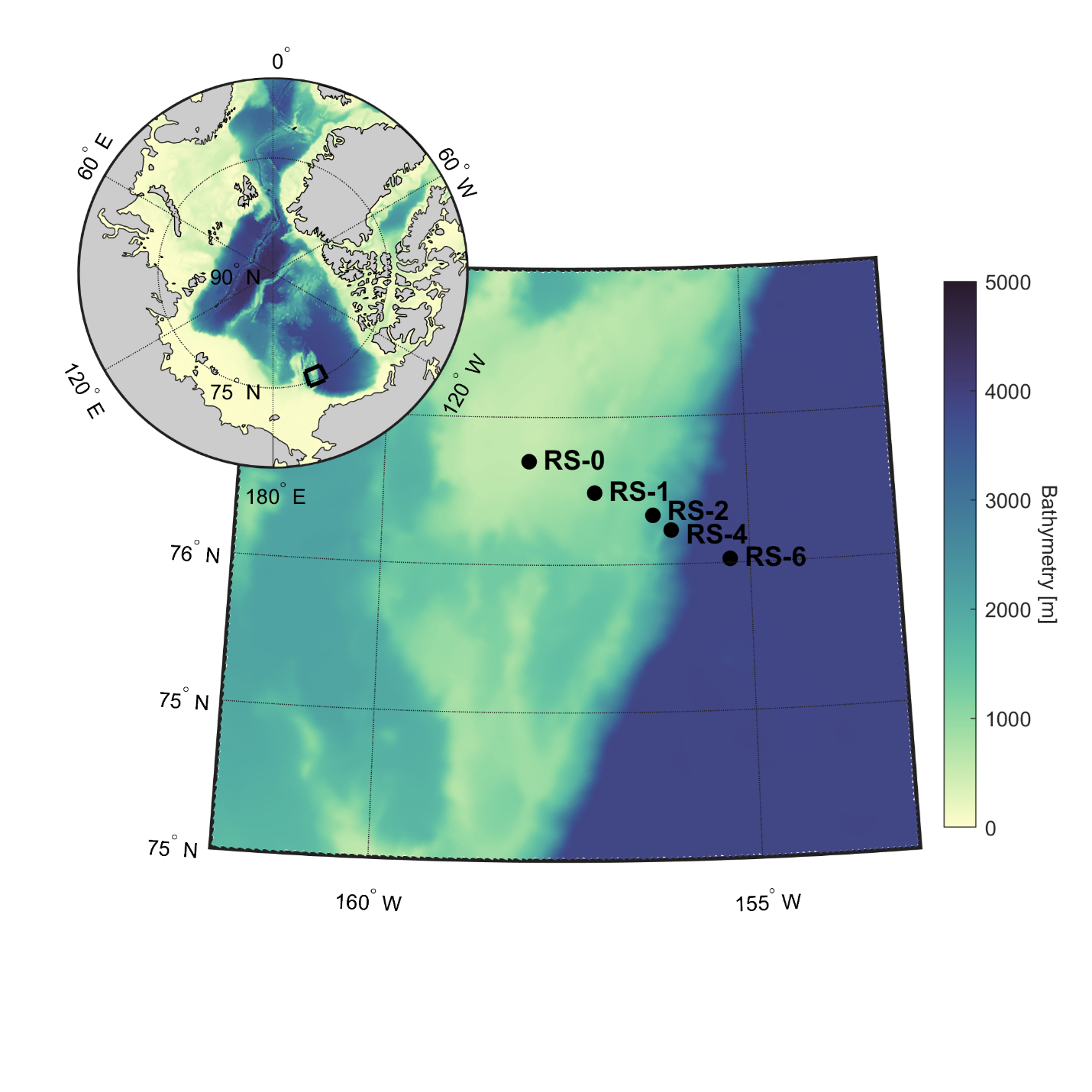
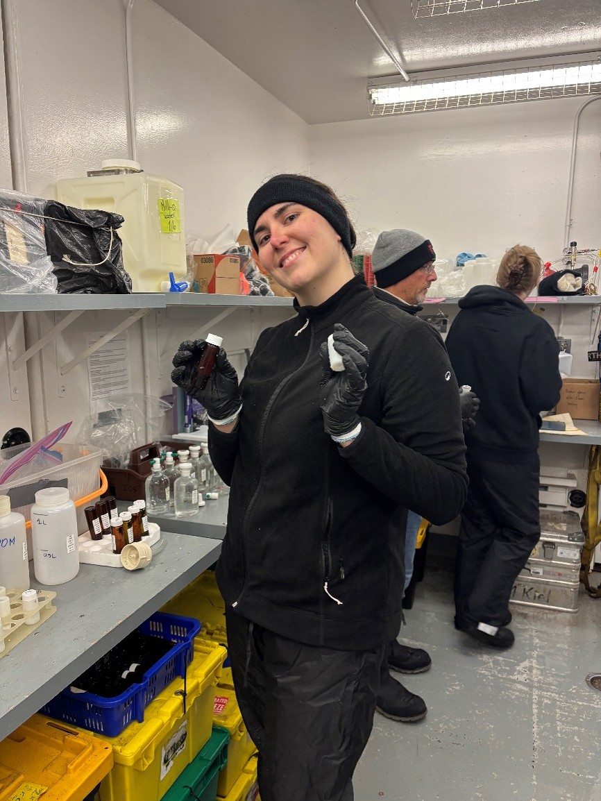
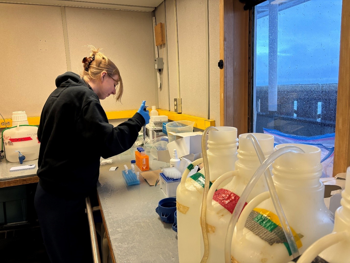
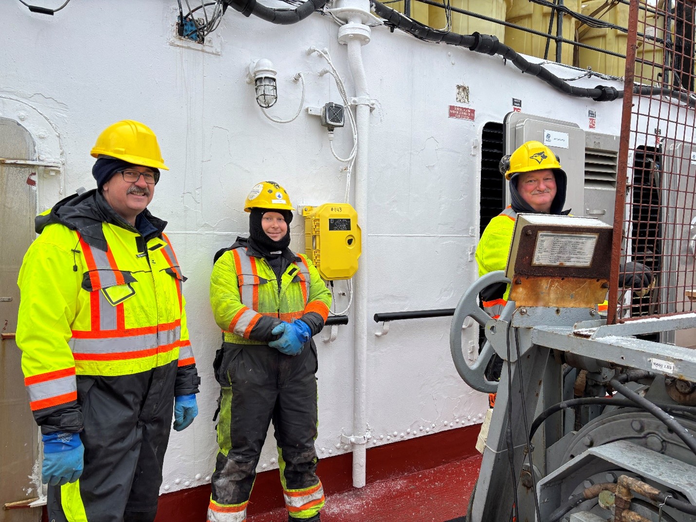
We survived the RS line! The day started around 3:45 am when we arrived at RS-6, the first of the 5 RS line-science stations. Upon arrival, the night watch spent nearly 3 hours completing a 3800 m CTD rosette cast. After the rosette was safely back on deck, the night watch began sampling, while the ship steamed towards our next station (RS-4). The RS line is located on the continental slope of the Northwind Ridge, so the stations are spaced close together and get progressively shallower. We arrived at RS-4 around 9 am, where the night watch wrapped up their shift with another 2200 m cast.
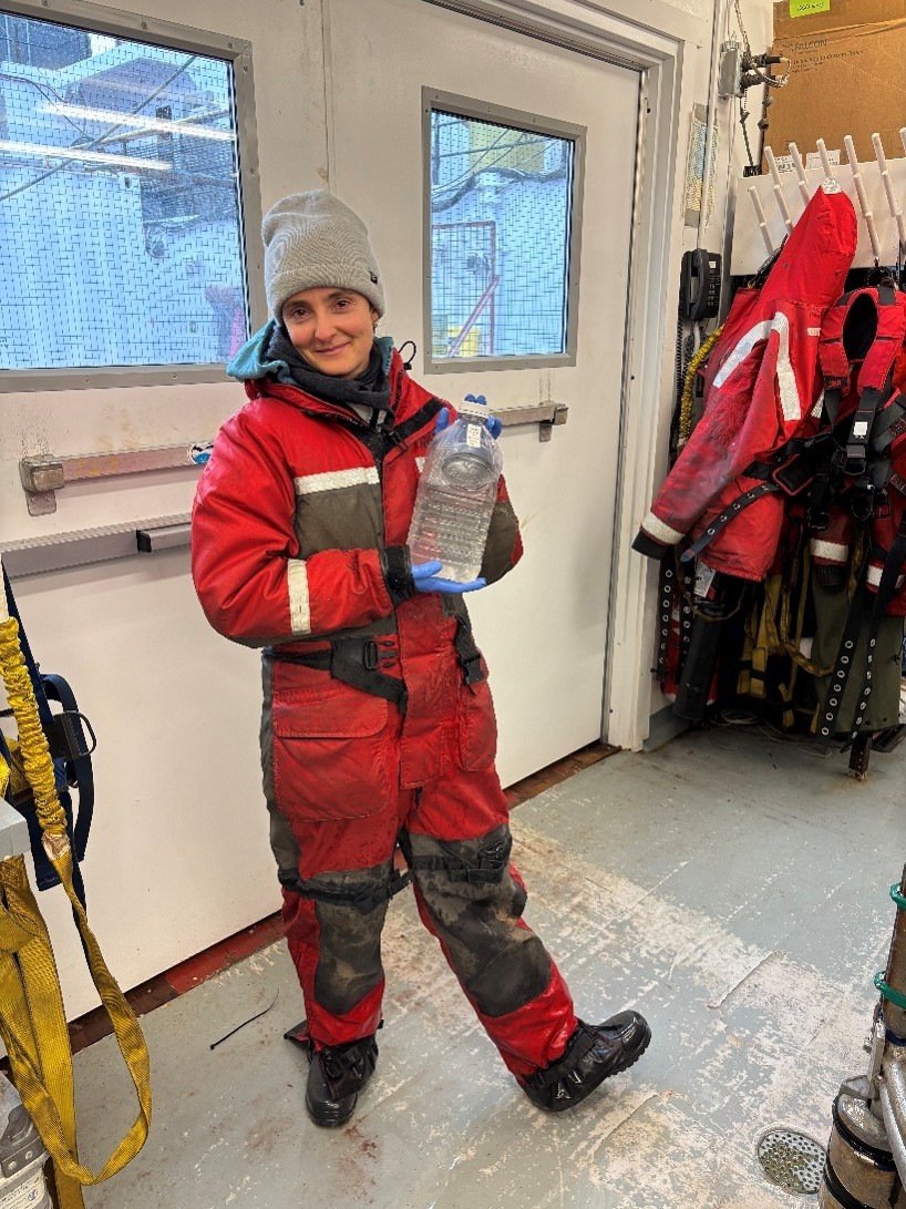
After lunch, the day watch took over for the remaining 3 CTD rosette casts. These casts went by relatively quickly, as they only extended down to 1500 m, 965 m, and 550 m, respectively. The RS line was not included in the original science plan, so we had to get creative with some of the sample bottles used here since our supply is somewhat limited. For example, Annabel Payne collected samples of iodine (which is used as a tracer for the boundary current) in an empty cranberry juice bottle! Luckily, there is no risk of sample contamination as iodine is produced by the processing of nuclear waste. We wrapped up the final cast by 10:30 pm, marking the end of the CTD rosette work on the RS line! However, the on-board analysts remained busy processing all the samples collected at the 5 stations.
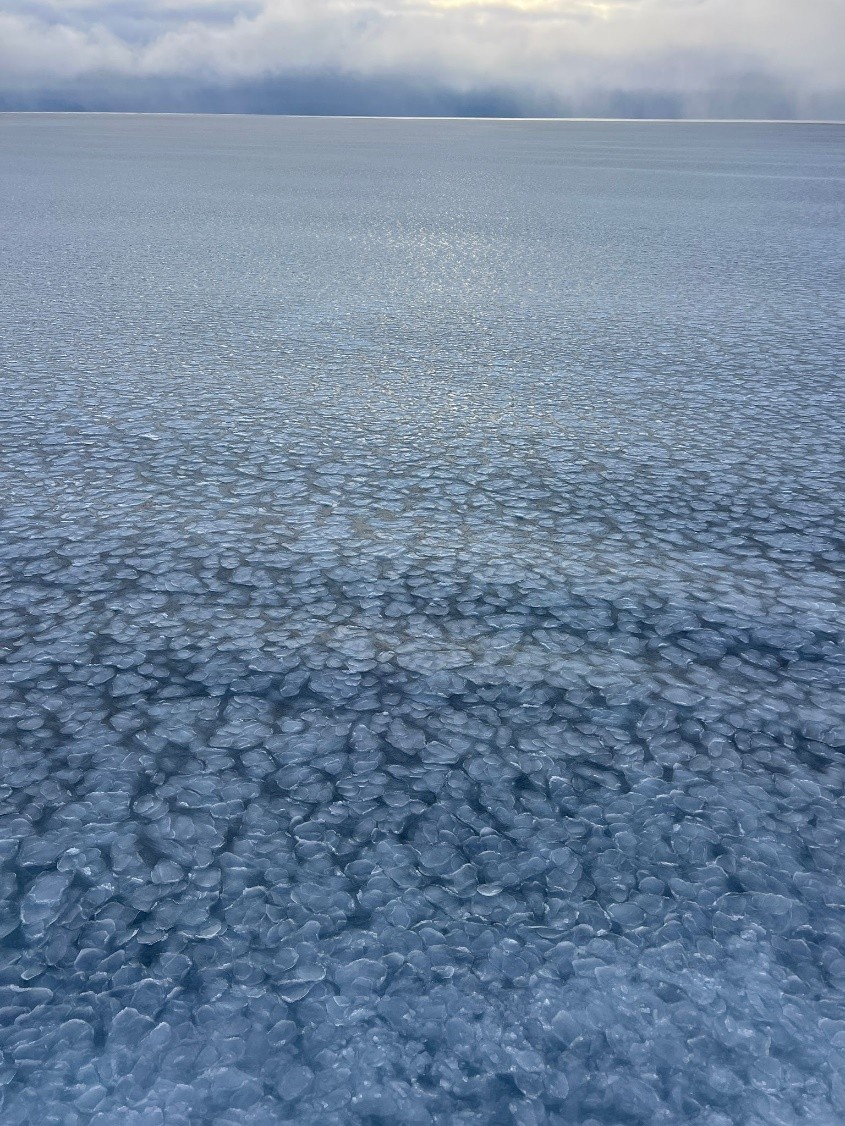
In between the craziness of the RS line, we remembered to wish a happy birthday to all the Arctic sea ice that survived the summer! October 1st marks the day that surviving first year sea ice becomes reclassified as second year ice, while surviving second year ice becomes reclassified as multi-year ice. In a fitting celebration, we were treated to views of fresh pancake ice all morning long!
Tonight, we begin the long steam towards CB-8, with an anticipated arrival time of late tomorrow morning!
