2024 Dispatches
Dispatch 27: Our Final Day on the Louis
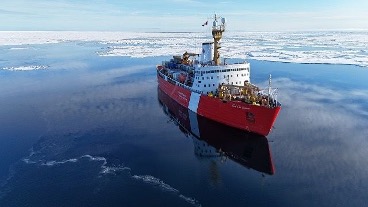
Today is our last full day on the Louis! As the science team wraps up last-minute packing and cleaning, we also prepare for our departure from the Louis after breakfast tomorrow. During our final science meeting this morning, the ice/weather specialist Alexandra Cournoyer forecasted cloudy and foggy conditions for tomorrow. Given the weather, it is likely that we will disembark from the Louis by barge instead of by helicopter. We are hopeful that our departure will go smoothly, and all science and Coast Guard members will be able to return home Thursday/Friday!
Dispatch 26: Packing, cleaning, and science presentations
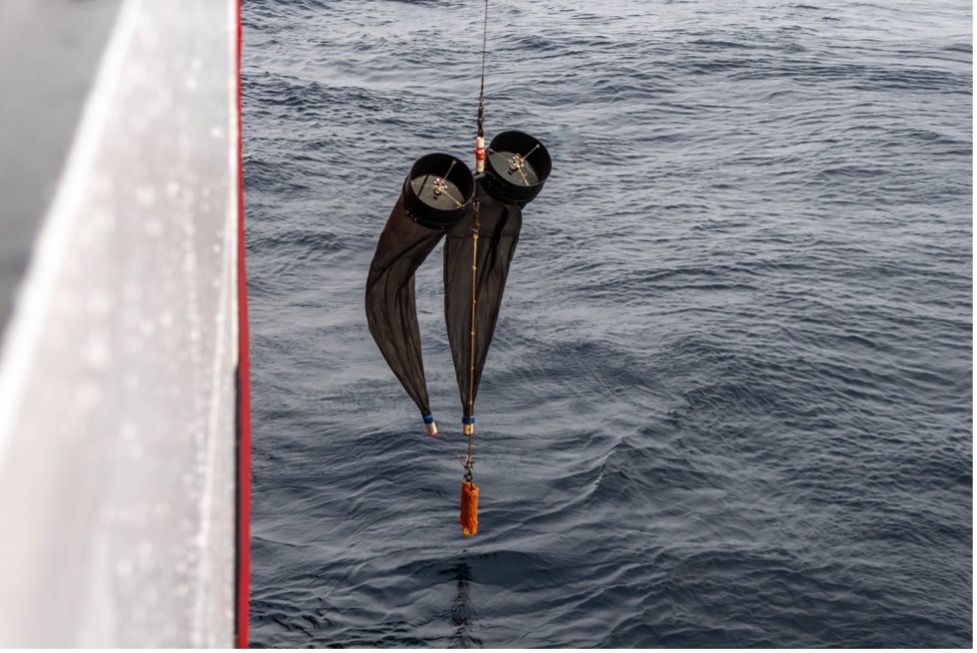
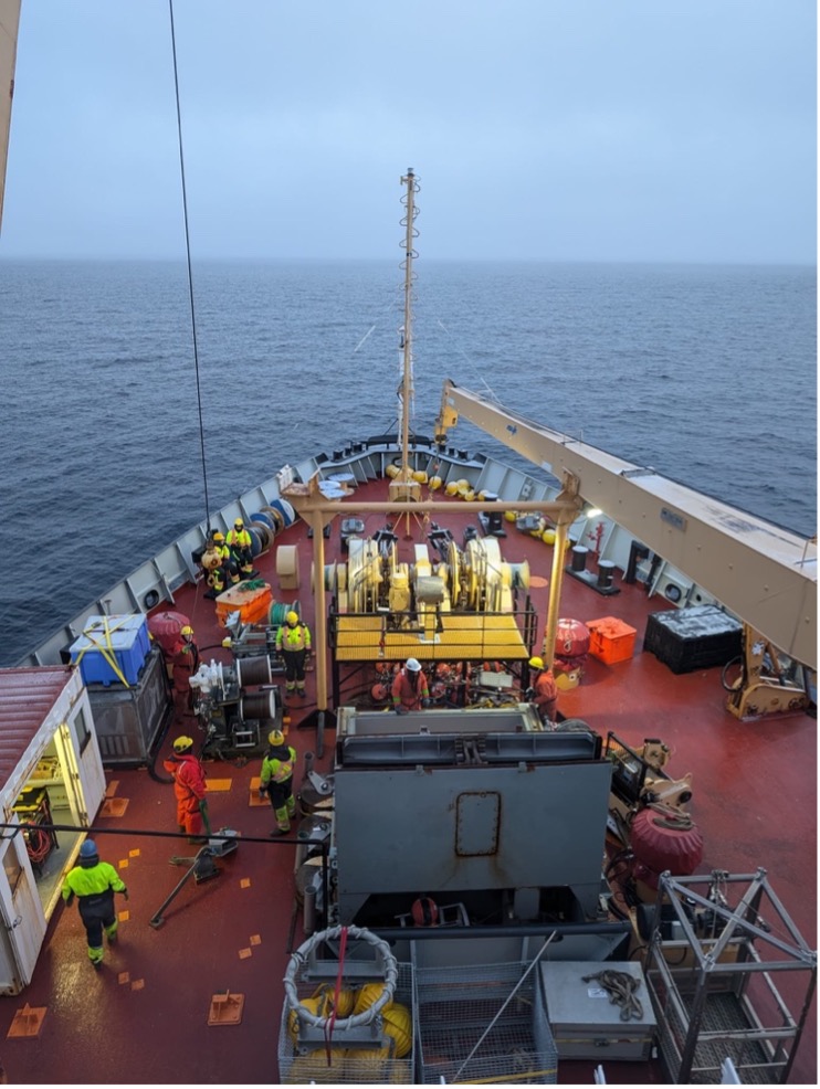
As our eastward steam to Cambridge Bay continues, the science team spent most of the day packing and cleaning. For example, our trusty orange mustang suits that kept us warm throughout the expedition needed a wash. Many suits were covered in grease from touching the wire during CTD rosette operations, and salty residue from sampling sea water. After scrubbing and rinsing the suits, we hung them to dry in the forward hold. The bongo nets were also rinsed with freshwater and hung to dry. Bottles that held water samples (for salts and chlorophyll) throughout the cruise were also rinsed and left to dry so they can be reused on future expeditions. The chlorophyll/ammonium “green room” was disassembled and packed away in large silver boxes that will be shipped back to the Institute of Ocean Sciences.
Dispatch 25: Steaming back and Avoiding Waves
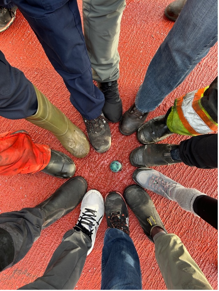
With science operations wrapped up, the Louis is steaming back towards Cambridge Bay. The science team have been busy today with packing up lab spaces, finishing up with geochemical analyses, and processing data. In the next couple days, the science team will be continuing to pack up lab equipment, computers, and mooring gear in the forward hold. Most of the science equipment will eventually be shipped back to the Institute of Ocean Sciences (IOS), Woods Hole Oceanographic Institution (WHOI), or other various institutions, so it is important to keep organized with packing lists. In the afternoon, a large group of science members and coast guard crew took a break from packing to play hacky sack on the helicopter deck before the sea state got too rough.
Dispatch 24: Wrapping up CTD operations
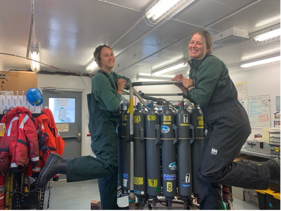
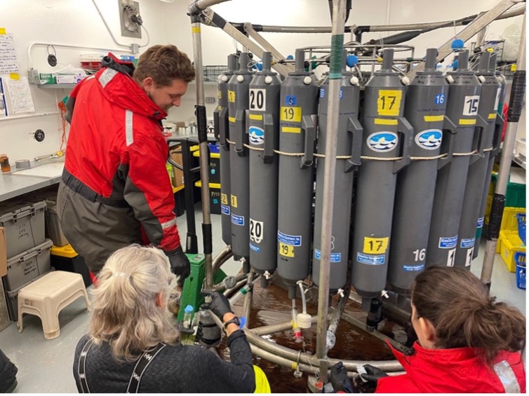
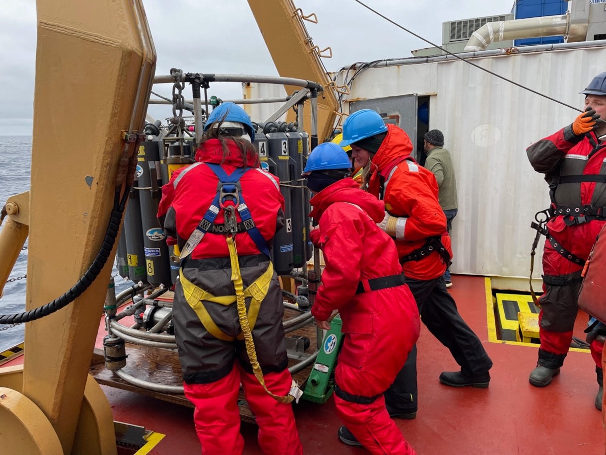
Early this morning, the nighttime watch-standers completed the last two CTD rosette casts of the MK-Line, which marked the official end of CTD operations that were planned for the 2024 BGOS/JOIS expedition! The last station was CB-28aa, which was only 56-meters deep. Although the rosette houses 24 10-liter Niskin bottles, it was only necessary to fire 7 bottles to sample the entire shallow water column. After the completion of station CB-28aa, the Louis steamed toward Herschel Island to quickly recover and deploy a surface mooring that is maintained by the Institute of Ocean Sciences (IOS). After mooring operations were completed, the science crew did one last CTD rosette cast to compare the water samples to the mooring data, which marked the actual last rosette cast of this year’s expedition. Over the course of the expedition, the science team completed a total of 61 CTD/rosette casts, with water samples taken from 1187 Niskin bottles! The water samples included measurements for properties including oxygen, carbon, nutrients, salt, chlorophyll, oxygen isotopes (18O), biotoxins, organic matter, ammonium, and DNA.
Dispatch 23: The MK-Line
Early this morning, we arrived at the first station on the MK-Line (named for its proximity to the Mackenzie River) where the nighttime watch-standers began the stretch of tightly spaced stations with CTD/bongo casts. The MK-Line consists of 8 CTD/bongo stations, with depths ranging from ~3000-meters to ~70-meters deep, becoming progressively shallower as we steamed near the Alaskan coast. Because the stations were so close together, the ship slowed down to a speed of ~5 knots between stations to give the science team enough time to take water samples before deploying the rosette again at the following station. Since the entire group of stations took about 24 hours to complete, most of the science team was busy with rosette casts, bongo nets, water sampling, and filtering/analyzing samples. Everyone was helping!
Dispatch 22: Deployment of Mooring D
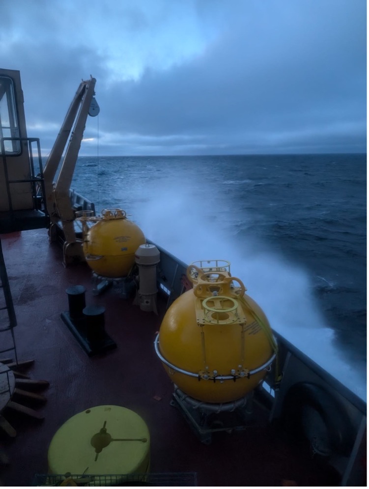
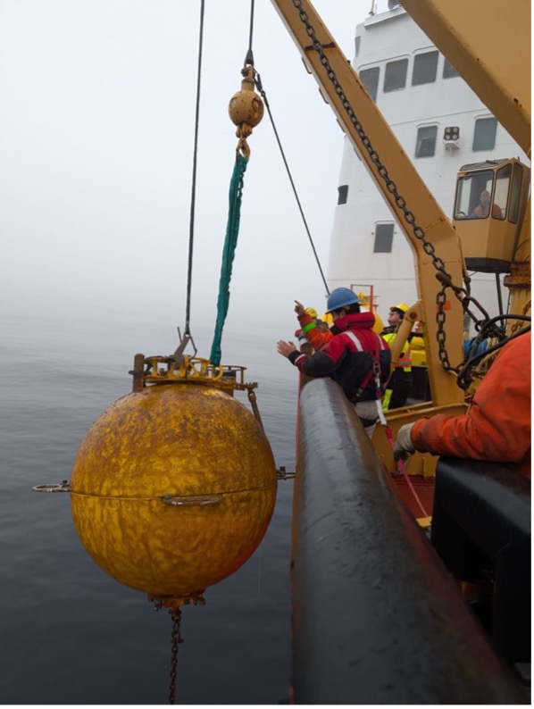
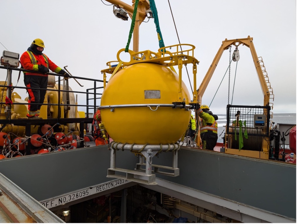
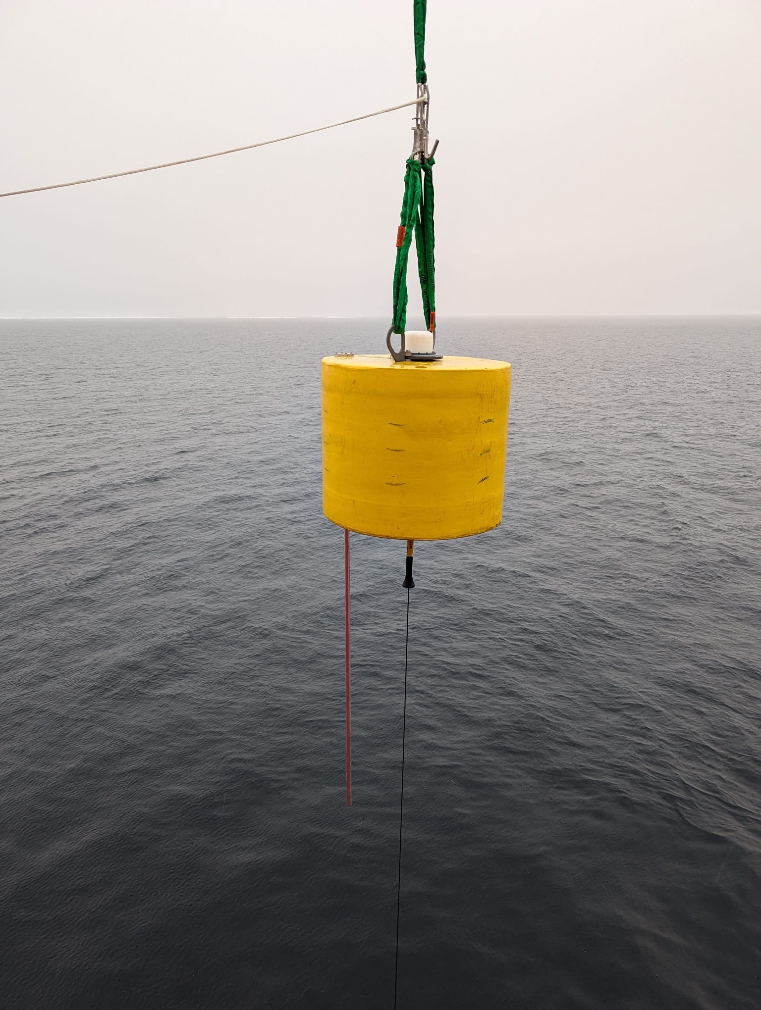
This morning, the team from Woods Hole Oceanographic Institution (WHOI) and the deck crew deployed the third and final BGOS mooring of this year’s expedition, Mooring D. The operation went smoothly, with the parts of Mooring D lowered off the deck in the opposite order as they were recovered in, beginning with its anchor and bottom pressure recorder, its profilers (which measure temperature, salinity, and pressure), its CO2/pH sensor, and lastly, its yellow flotation sphere which contains an upward looking sonar that provides estimates of sea ice thickness. Once Mooring D was deployed, the Louis began its ~12-hour long southward steam down the 140°W longitude line towards the Alaskan coast, where we will complete our second line of coastal stations, the “MK-Line” (named for its proximity to the Mackenzie River).
Dispatch 21: Recoveries of Mooring D and “Mike” the Glider
Early this morning, the Louis arrived at station CB-21 (the site of Mooring D), where the nighttime watch-standers completed two CTD rosette casts – one regular deep cast, and one shallower cast to sample for DNA. Once the rosette was back on deck, the science team and deck crew were cleared to begin mooring operations. Like the other BGOS moorings, the position of Mooring D was pinpointed using a triangulation algorithm. When the acoustic signal was sent to release the mooring from its anchor, its yellow flotation sphere emerged at the ocean’s surface only 20 meters away from the Louis! For one last time on this year’s expedition, Jerome Sibley was lowered to the buoy to clip it in, so it could be winched on board. The rest of the mooring was soon recovered, and all instruments were safely onboard shortly after lunchtime.
Dispatch 20: CTD casts and Argo Floats
Early this morning, the Louis arrived at Station-A, where the nighttime watch-standers completed CTD/bongo casts, and water sampling. After the casts at Station-A were completed, Chief Scientist Paul Macoun and technician Seth Fleming-Alho deployed an Argo float off the ship’s stern. Argo floats are buoyancy-driven instruments that sample the water column for temperature, salinity, and pressure. In contrast to the buoys that we typically deploy in the Arctic Ocean (e.g., Ice-Tethered Profilers and Tethered-Ocean Profilers), Argo floats spend most of their time entirely underwater- therefore, they can only transmit data when they reach the ocean’s surface, which is roughly every 10 days. Historically, not many Argo floats have been deployed in the Arctic Ocean because the sea ice inhibits the float from surfacing and transmitting data for long stretches of time. However, in recent years more Argo deployments in this region are testing their effectiveness. We hope to receive some promising data from the float soon!
Dispatch 19: BL Line finished, Mooring AON BS-3 Rescued!
Throughout the early hours of the morning, the night-watch finished up the latter half of the BL Line. The last station of the line, BL-1, was brought back on deck just before lunchtime. Once the BL Line was officially finished (Woohoo!), the Louis began to steam towards a mooring recovery site. The mooring we were looking to recover, Mooring AON BS-3, is not one of the Beaufort Gyre Observing System (BGOS) moorings (A, B, or D) – Mooring AON (Arctic Observing Network) BS-3 is a component of Bob Pickart’s (WHOI) project. Bob Pickart and his team were in the Arctic in July on an expedition aboard the R/V Sikuliaq, with hopes of recovering the mooring. Unfortunately, thick ice in the region presented challenging conditions for a mooring recovery. The moorings’ yellow surface sphere is unlikely to break through the sea ice, making it difficult to locate and retrieve.
Dispatch 18: We're on the BL Line!
We reached the beginning of the “BL Line” (the group of coastal CTD/bongo stations near the Alaskan coast, see our last dispatch here for more info) around lunchtime today, when we arrived at station BL-8. This station had a bottom depth of ~3000-meters. As we continued down the line of stations and onto the continental slope, the bottom depths became increasingly shallow – the last station (BL-1) was only about 70-meters deep!
Dispatch 17: Shrinky cups and BL Line prep
To follow a long-standing tradition on the Louis, everyone decorated styrofoam cups that would be sent to the bottom of the Arctic Ocean and shrunk to the size of a sewing thimble. The cups shrink when they are under immense pressure - in this case, the weight of the overlying 3800-meters of ocean water! Among the most popular cups included drawings of polar bears/sea ice, loved one’s names, and people’s favorite team logos. At station CB-5, the night-watch attached the bag of personalized cups to the rosette and sent them on their way to shrink!
Dispatch 16: : Mooring A deployed, TOP6 recovered
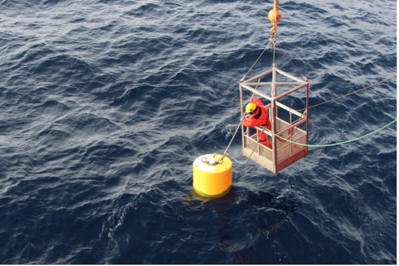
This morning began with operations on the forward deck for the deployment of Mooring A. The deployment was almost identical to that of Mooring B, with each of its parts winched off the deck in the reverse order as they were recovered: its anchor, acoustic releases and bottom pressure recorder, followed by its profilers (which record temperature, salinity, and velocity), other sensors, and finally, its yellow flotation sphere. Once Mooring A was deployed and the deck was secured, the Louis began to steam north to of an old TOP (TOP 6) that was waiting to be recovered, which happened to be drifting right along our transit to station CB-7. The buoy team used its hourly GPS data to locate its position, and we were able to quickly spot the yellow surface buoy as the Louis approached the location. From that point, the recovery was seamless. Deckhand Jerome Sibley was lowered in the man-basket to clip in the TOP, and then it was carefully lifted aboard using the winch. The science crew was pleased to find that the TOP was recovered fully in-tact, despite it having traveled over the shallow eastern shelf of the Canada Basin. This means the buoy can be refurbished (without the addition of many new parts) and re-deployed in the Arctic Ocean in the future. TOP6 had an incredible two-year long journey in the Arctic Ocean- its vertical profiler traveled over 1 million meters during its lifetime!
Dispatch 15: Another day, another mooring
Today, the Louis arrived at the site of Mooring A, for the mooring recovery. Similar to the recovery of Mooring B which occurred on September 10th (Dispatch 12!), Mary-Louise Timmermans and Jeff O’Brien were in the forward lab in the early morning hours to begin pinpointing the mooring’s location by transmitting an acoustic signal to the instrument. Once they received the pings back from the devices on the mooring, they were easily able to triangulate its exact location. After breakfast, the scientists and crew were on deck ready for the mooring to be sent the signal to release from its anchor on the seafloor. Within seconds of the release command, the mooring’s large yellow surface floatation sphere appeared at the surface of the ocean (holding up its 3800-meter wire with various instruments attached), where it was easily spotted by those watching from the Louis. From that point on, the mooring recovery was essentially identical to the recovery of Mooring B: the surface buoy was clipped in by deckhand Jerome Sibley, and the mooring was carefully winched onto the deck until all its instruments and other parts were safely aboard. Then, Mary-Louise and the WHOI team began offloading the yearslong data records from the recovered instruments and prepping the instruments (giving them fresh batteries etc.) to be deployed tomorrow for another year.
Dispatch 14: Mooring B and ITP 143 are deployed!
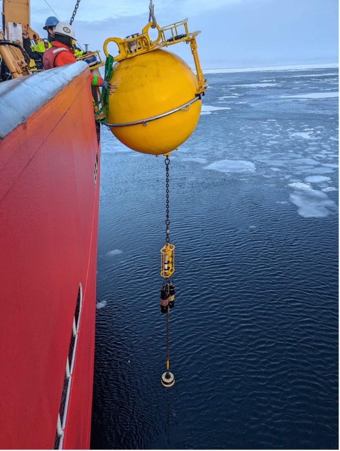
The buoy/mooring team from Woods Hole Oceanographic Institution (WHOI) and the deck crew were certainly kept busy today, with the deployment of Mooring B in the morning, and the deployment of Ice-Tethered Profiler (ITP 143) in the afternoon. Both deck operations went smoothly. The mooring was deployed by lowering each of its parts off the deck into the ocean using the winch, beginning with its anchor, acoustic releases, and bottom pressure recorder, followed by its profilers (which measure temperature, salinity, and velocity), other sensors (e.g., CO2, oxygen, and pH), and lastly, its large yellow sphere which holds the line of instruments upright, and contains an upward looking sonar which provides estimates of sea ice thickness. The mooring deployment took about 5 hours. ITP 143 was deployed in a similar manner, with its weights and profiler (which provides temperature, salinity, pressure, and oxygen measurements) lowered over first, followed by its near-surface sensors (which measure CO2, oxygen, pH), and finally its yellow surface float, which also has a unit to transmit data back to land via satellite. It was a productive day on the forward deck to say the least!
Dispatch 13: Refueling...
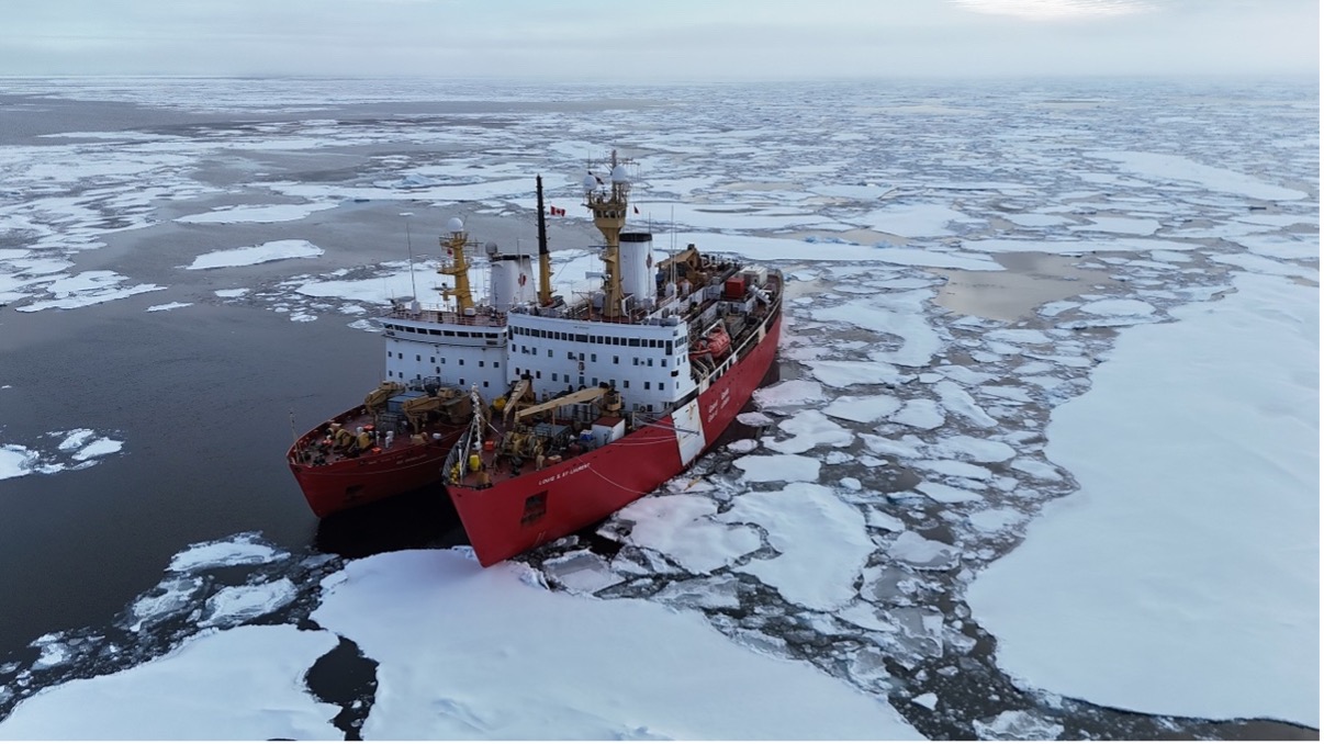
Today was a relatively quiet day on the Louis. The Canadian Coast Guard (CCG) members onboard the Louis were in contact with their colleagues aboard a different ship in the area, the CCGS Des Groseilliers, which was running low on fuel. The decision was made to meet up and transfer some fuel from the Louis to the Des Groseilliers. To do this, the ships lined up beside one another, and the fueling process began –about 12 hours and almost 160,000 gallons later, the task was complete. During this time, the Coast Guard crew set up a gangway between the ships so that members from each ship could travel between the two. A group of us from the Louis made our way over to the Des Groseilliers, where we explored the hallways and common spaces and compared them to those on our ship, including differences in the size of the mess halls, the colors of the walls, and the commodities in the lounges (they have a popcorn machine over there!). Many of us also visited the canteen over on the Des Groseilliers and bought gear including sweatshirts and t-shirts. At some point, we heard an announcement over the ship’s intercom urging everyone to return to their respective ships. A few of us on the day watch got a great glimpse of the Des Groseilliers pulling away from us once the fueling had finished, and they went on their merry way (on a mission which remains a mystery)!
Dispatch 12: Recovery of Mooring B
Today, the buoy/mooring team from Woods Hole Oceanographic Institution (WHOI) recovered Mooring B, which was deployed on the BGOS/JOIS expedition in 2023. The mooring has been recording ocean and sea ice properties all year, and the team is eager to collect the data from each of the instruments. Once the Louis arrived at the location of last year’s deployment, Mary-Louise Timmermans and the WHOI team began communicating with the mooring by sending it an acoustic signal through the seawater. Devices on the mooring send pings to the ship team, which allow them to pinpoint its precise location. The science team was then able to send a signal to these devices to release the mooring from its seafloor anchor (including its sensors which are vertically positioned along a ~3800-meter wire, all held up by a surface float), causing the yellow surface buoy to emerge at the ocean’s surface. Once the buoy was floating in the water, deckhand Jerome Sibley was lowered in the man-basket to hook the mooring so it could be brought on board.
Dispatch 11: Deployment of TOP
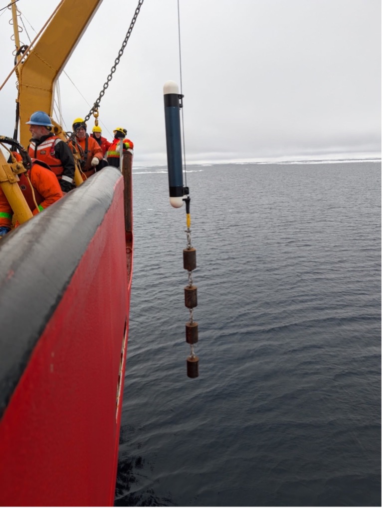
Today, the buoy team from Woods Hole Oceanographic Institution (WHOI) and the deck crew deployed a Tethered-Ocean Profiler (TOP 15) in open water, which involved lowering the instrument off the side of the forward deck into the ocean. TOP 15 has a deep tether and can measure ocean properties down to ~750 meters, returning information about temperature and salinity through the warm Atlantic Water layer that centers around 500 m depth. The deep TOP also has a thermistor chain coming down through the surface float, which measures temperature through the sea ice and into the upper ocean. Like other TOPs, this TOP bumps up to the underside of the sea ice, recording its depth which gives us a full record of ice thickness as the ice grows throughout the winter season.
Dispatch 10: Another ice day
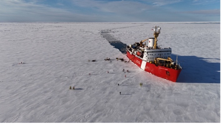
Early this morning, we arrived at a floe that would be the setting of the second ice station of the expedition. The science team has been calling this ice station “The big one” because plans for this ice station day were much more extensive than yesterday’s, with respect to both the buoy deployments (led by Jeff O’Brien from Woods Hole Oceanographic Institution, WHOI) and the ice transect/coring work (led by Kazu Tateyama). Like yesterday, Mary-Louise Timmermans and Jeff O’Brien were lowered down onto the ice in the man-basket, where they surveyed the ice floe to ensure it was a good candidate for the deployment of buoys. Once they gave the green light and said the floe looked good, the deck crew began using the crane to transfer the equipment, including the buoys themselves, the ice augers, and other tools, onto the ice.
Dispatch 9: Out on the Ice!
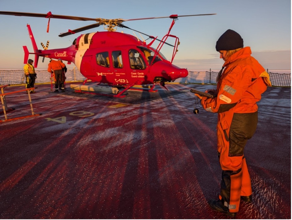
In the early hours of the morning, members of the science team were up on the bridge looking for suitable floes for an ice station (i.e., buoy deployments, ice thickness transects, and ice coring). The decision was made to use the helicopter for a sea-ice reconnaissance flight. The ice specialist on board (Alexandra Cournoyer) was in the front seat scanning for floes in discussion with three others from the science party on board. The flight pattern was determined based on satellite imagery that showed some potential candidates. Shortly after the helicopter and crew were back on the ship, we found a suitable floe to nestle into. Mary-Louise Timmermans and Jeff O’Brien were hoisted down onto the ice in the man basket where they checked the stability and thickness of the floe. For ice-based observatories, ideal floes are typically several kilometers across, and relatively uniform in terms of thickness. The floe was on the order of 0.3 meters thick and looked like a good choice to deploy buoys.
Dispatch 8: Deployment of TOP13, Seals, and Jellyfish!
This morning, the team from Woods Hole Oceanographic Institution (WHOI) and the deck crew deployed a Tethered-Ocean Profiler (TOP13) in open water at 77.24°N 134.18°W. A typical TOP transmits measurements of temperature, salinity, and pressure from the upper water column (from 200 meters all the way up to the bottom of the sea ice). TOP13 is the first system that additionally measures velocity. For this reason, the profiler is fitted with fins to keep it stable in the ocean flow. The deployment went smoothly; TOP13 was lowered into the ocean off the side of the Louis and sent off on its way to collect data!
Dispatch 7: Recovery of ITP 136
Early this morning, the team from Woods Hole Oceanographic Institution (WHOI) and the deck crew worked together to recover a buoy - ITP 136, which was deployed in an ice floe in September 2022 at 79° 10.6 N, 140° 14.4 W. The WHOI team was able to locate the ITP using hourly location data from the GPS system on the buoy. When the yellow surface float was spotted nearby, Jerome Sibley (one of the deckhands) was lowered down in the man basket (see Photo 2), where he was able to hook the buoy. Once the ITP was hooked, the WHOI team and deck crew pulled it onboard, where they realized that the buoy was missing some of its parts, including its profiler and most of its wire – it appeared that these parts had been sheared off, which likely happened as the ITP drifted into shallow waters on the eastern continental shelf. The surface package and float were still intact. The surface package will be sent back to WHOI to be refurbished and deployed in the Arctic Ocean again in the future!
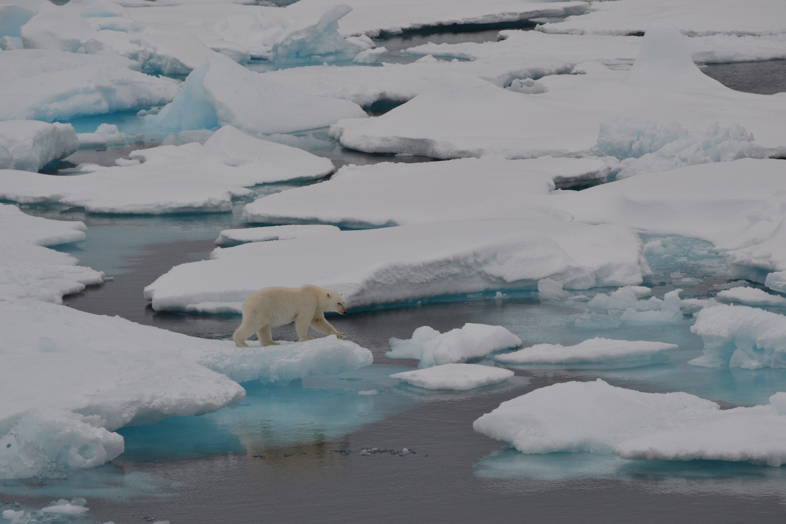
Dispatch 6: First glimpses of sea ice + a bear – oh my!
The science team is beginning to put plans in place for the next few days to ensure that science operations continue to go smoothly. Around 10am this morning, several members of the science crew (including representatives from the moorings/buoys and ice observations teams along with the Captain and other members from the ship’s crew) met to discuss the science operations that will be taking place in the next few days. For example, Jeff O’Brien and the rest of the WHOI team are planning to recover a buoy (that is no longer transmitting data) tomorrow morning. We are also planning for an ice station (see previous dispatch here to learn more about ice station days) in the next couple of days. The science team is planning for that by making a list of operations that will take place on the ice (including buoy deployments, ice thickness transects, and ice coring), and determining who will be involved in each.
Dispatch 5: Steaming Along
As we continue to steam north (at a speed of ~12 knots), we have been completing about 2-3 CTD rosette casts per day, each accompanied by water sampling and bongo nets (see previous dispatch for more information here). The entire process usually takes about 3-4 hours. Today, we had CTD casts beginning around 8am and 6pm (CB-51 and CB-40, respectively). Since there were several hours between each cast, the science crew had plenty of time to catch up on tasks.
Dispatch 4: The Autonomous Little Yellow Submarine (The Glider)
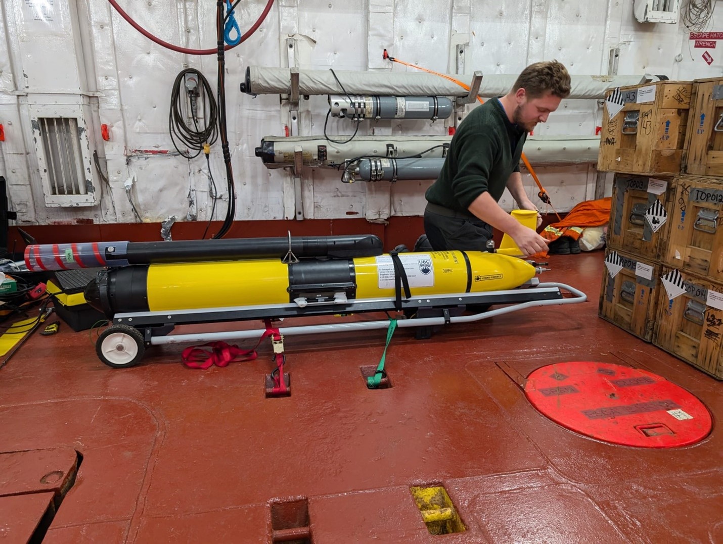
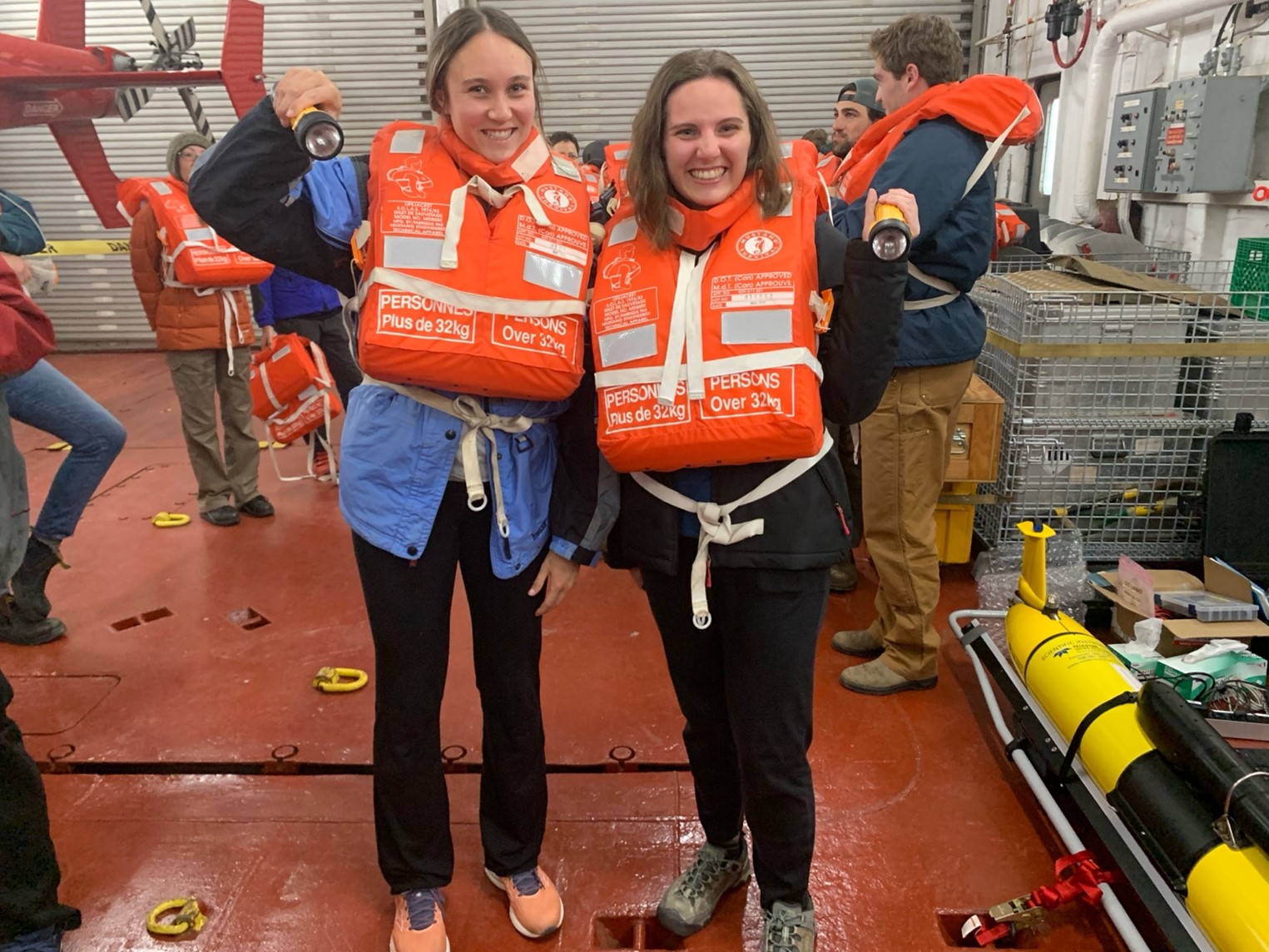
This morning, the science team and crew were preparing for the deployment of an undersea glider named “Mike” after its primary sensor, the microrider. This glider will be following a pre-determined sampling line for the next 22 days, while taking measurements of ocean turbulence, temperature, salinity, and oxygen. Once its mission is complete, we will be recovering the glider near the continental shelf near the end of our expedition.
Dispatch 3: CTD cast, transit, repeat
Today, the CTD watch standers (both day and night watches) were kept busy with rosette casts and water sampling. We completed two full CTD casts (stations CB-1 and CB-31b). For each station, we perform the cast by lowering the rosette to the ocean bottom, and then back up to the surface while collecting water samples in the Niskin bottles on the way up. Once the rosette was back on board, the watch standers quickly went to work collecting the water samples from the bottles which will be measured for chemical properties (e.g., carbon, oxygen, nutrients, and more). Once the sampling is complete, a few members of the watch team will begin filtering the water for certain properties – these include chlorophyll and organic matter (for example, see previous dispatch here to learn about filtering chlorophyll).
Dispatch 2: Stormy Science
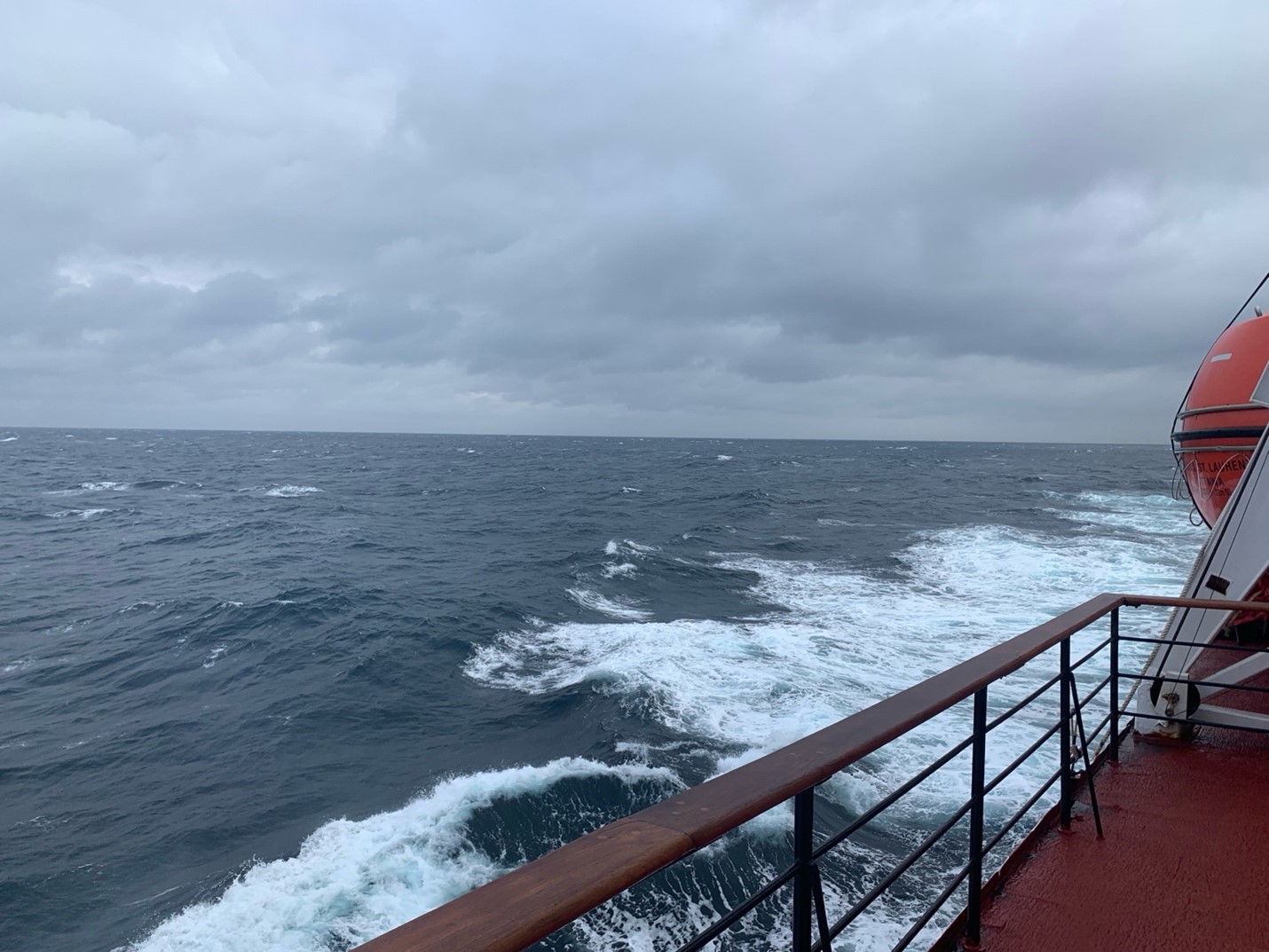
Throughout the early morning and into the night, we experienced very stormy seas, which were due to a low-pressure system in the Beaufort Gyre region which gave rise to strong westerly winds. In preparation for the rough seas, the science team took precautions which included tying down and securing lab equipment, computers, and any other items that could shift as the ship rocked back and forth. Despite the rough weather, we were optimistic that we would be able to complete our first CTD station (for more information on CTD casts, see the previous dispatch here) in the Amundsen Gulf (AG-5) after supper. To ensure that the operations went smoothly, watch leader Mike Dempsey held a meeting for all the CTD watch standers to demonstrate water sampling and explain CTD operation procedures (for example, ensuring that all the Niskin bottles are prepared, the sensors on the rosette are wiped down, and the rosette is rolled out and sent over the side of the ship safely and properly).
Dispatch 1: All Aboard!
Today marks our first full day on the Louis S. St-Laurent, and the beginning of the 2024 BGOS/JOIS expedition! Most of the science crew landed in Cambridge Bay yesterday afternoon, and then were transported onto the ship via helicopter. Once aboard, we began to tackle the large task of unpacking – computers, equipment, clothes – you name it. In addition to unpacking, lots of us were helping to set up the lab spaces we will be relying on for data entry, preparation, and analysis over the next month, including labs dedicated to analyzing chlorophyll, nutrients, bacteria, alkalinity, and much more!
