Dispatch 11: Deployment of TOP
Ashley Arroyo (Yale University)
September 9, 2024
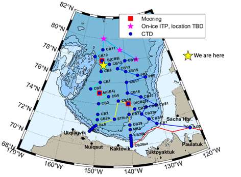
16:30 UTC, 77.42°N 149.29°W
Conditions:
- Mostly cloudy
- 50% sea ice cover
- -2.4°C
- Winds 12.6 knots northerly
- Sunrise: 08-Sep-2024 07:54:41 -06
- Sunset: 08-Sep-2024 23:57:32 -06
- Day length: 16h 2mn 51s
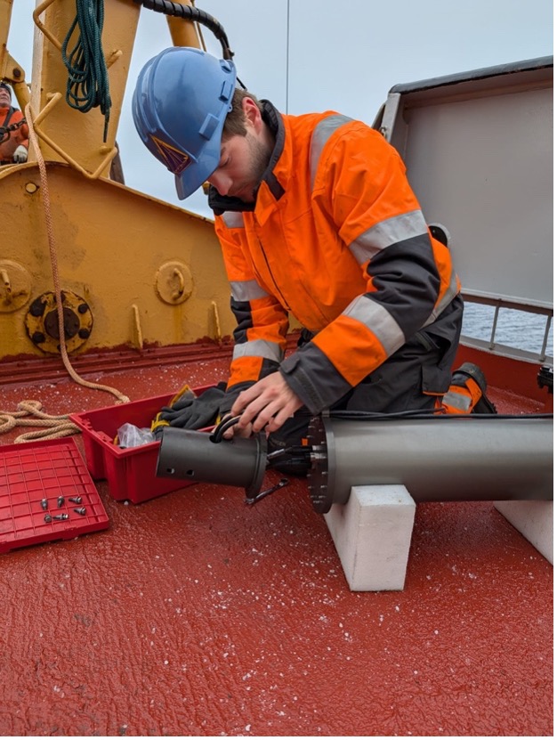
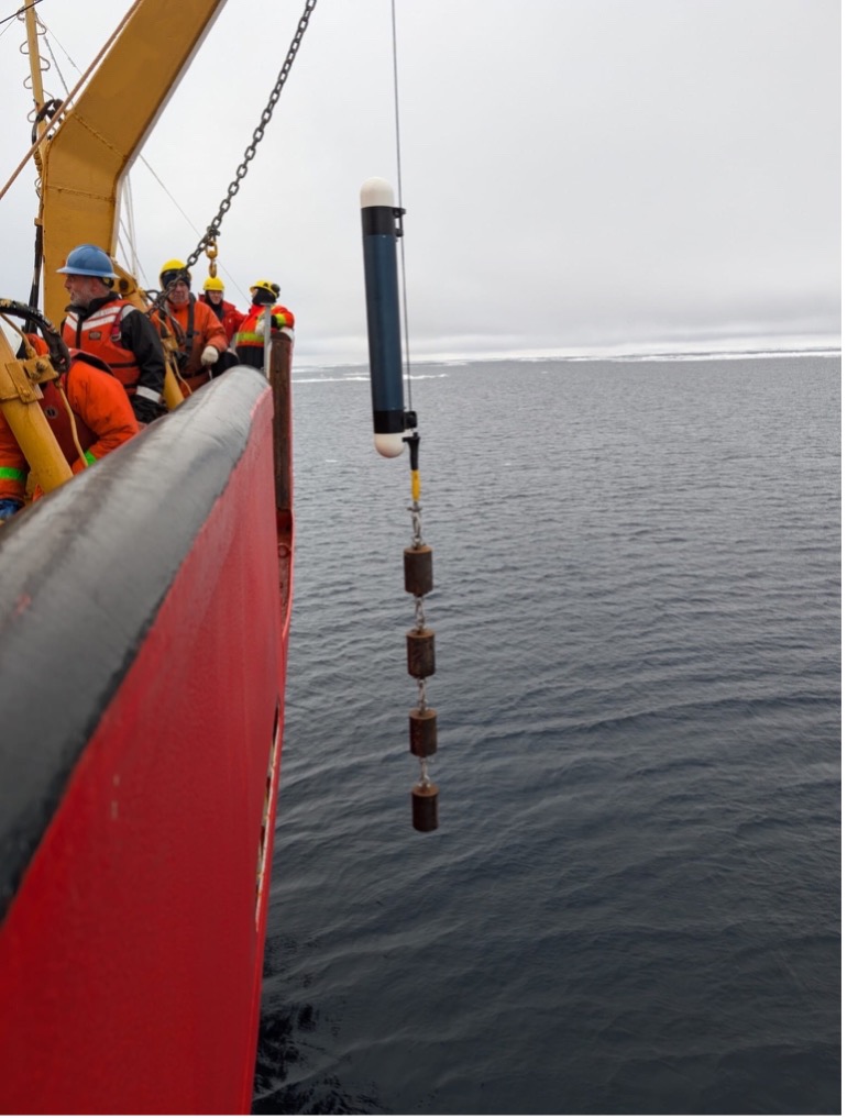
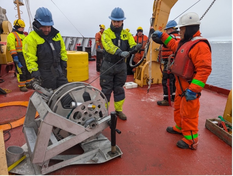
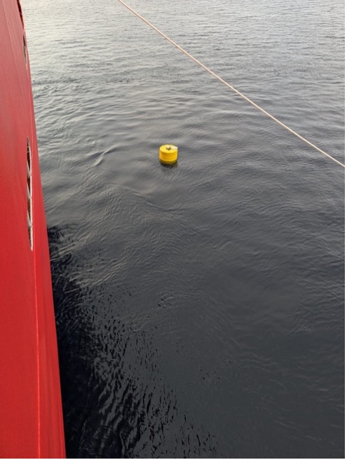
Today, the buoy team from Woods Hole Oceanographic Institution (WHOI) and the deck crew deployed a Tethered-Ocean Profiler (TOP 15) in open water, which involved lowering the instrument off the side of the forward deck into the ocean. TOP 15 has a deep tether and can measure ocean properties down to ~750 meters, returning information about temperature and salinity through the warm Atlantic Water layer that centers around 500 m depth. The deep TOP also has a thermistor chain coming down through the surface float, which measures temperature through the sea ice and into the upper ocean. Like other TOPs, this TOP bumps up to the underside of the sea ice, recording its depth which gives us a full record of ice thickness as the ice grows throughout the winter season.
The TOP deployment went smoothly (it took less than an hour to complete). As soon as the deployment was complete, we did a quick CTD cast at the same location so that the buoy team could compare the temperature and salinity profiles to those transmitted by TOP 15. This cast was short and sweet (~35 minutes), as we only lowered the rosette down to 800 meters and did not take any water samples in the Niskin bottles. Once the rosette was back on board, the Louis began on its transit to station CB-12!
