Dispatch 14: Mooring B and ITP 143 are deployed!
Ashley Arroyo (Yale University)
September 12, 2024
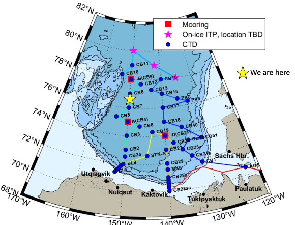
21:10 UTC, 77.28°N 149.57°W
Conditions:
- Mostly cloudy
- 50% sea ice cover
- -4°C
- Winds 7.3 knots easterly
- Sunrise: 11-Sep-2024 08:19:05 -06
- Sunset: 11-Sep-2024 23:33:15 -06
- Day length: 15h 14mn 10s
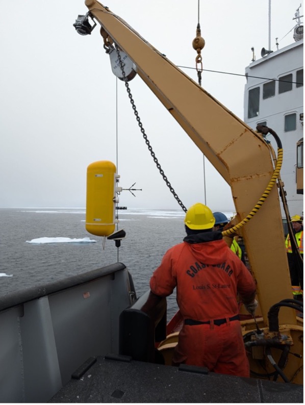
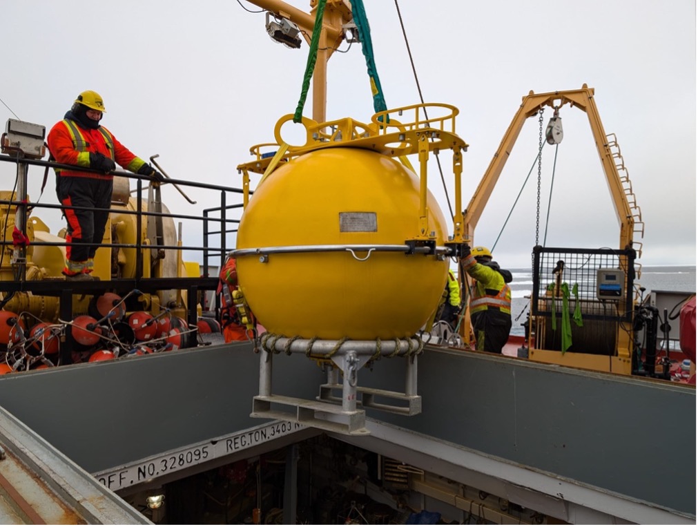
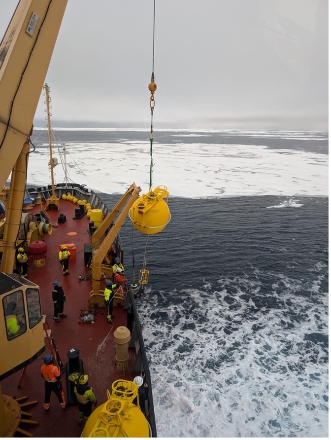
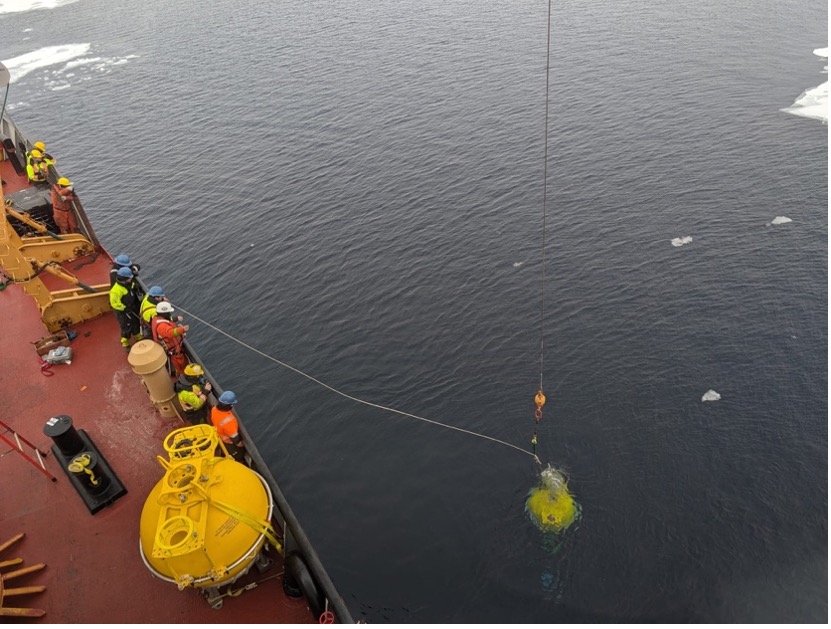
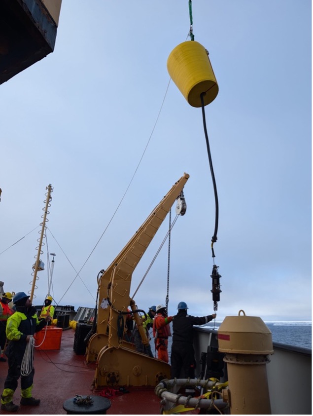
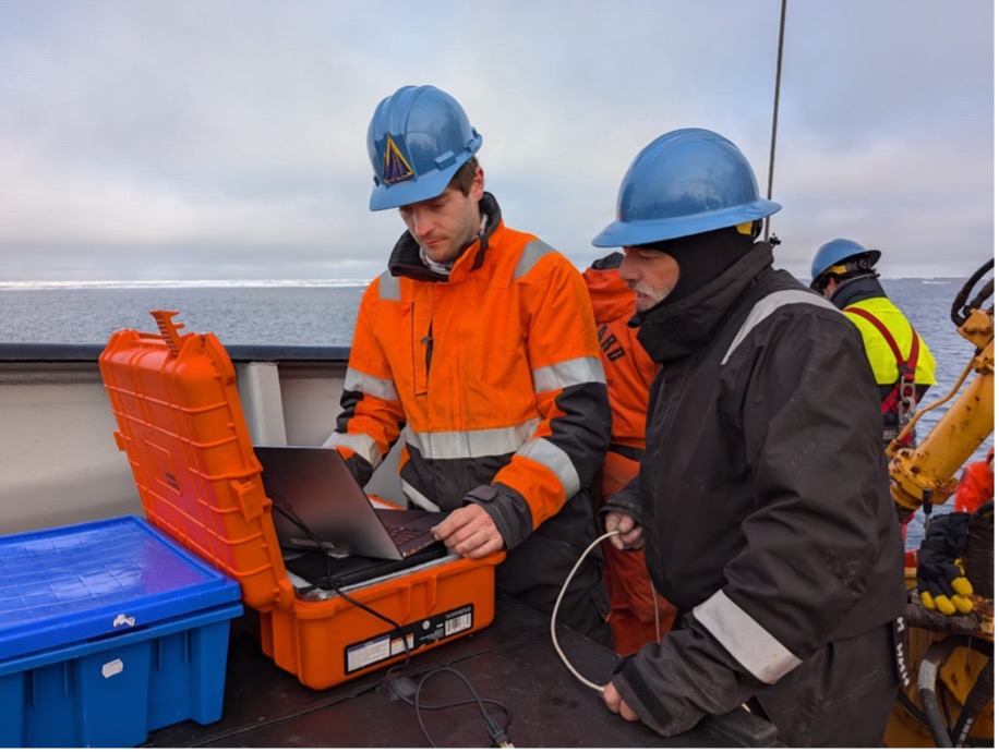
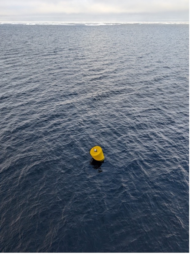
The buoy/mooring team from Woods Hole Oceanographic Institution (WHOI) and the deck crew were certainly kept busy today, with the deployment of Mooring B in the morning, and the deployment of Ice-Tethered Profiler (ITP 143) in the afternoon. Both deck operations went smoothly. The mooring was deployed by lowering each of its parts off the deck into the ocean using the winch, beginning with its anchor, acoustic releases, and bottom pressure recorder, followed by its profilers (which measure temperature, salinity, and velocity), other sensors (e.g., CO2, oxygen, and pH), and lastly, its large yellow sphere which holds the line of instruments upright, and contains an upward looking sonar which provides estimates of sea ice thickness. The mooring deployment took about 5 hours. ITP 143 was deployed in a similar manner, with its weights and profiler (which provides temperature, salinity, pressure, and oxygen measurements) lowered over first, followed by its near-surface sensors (which measure CO2, oxygen, pH), and finally its yellow surface float, which also has a unit to transmit data back to land via satellite. It was a productive day on the forward deck to say the least!
Once mooring and buoy operations were complete, the Louis began steaming south down the 150°W longitude line towards station CB-8, where we completed CTD/bongo casts. We are now continuing to steam south towards our next set of stations, while keeping a close eye on the location of an old Tethered Ocean-Profiler (TOP) in hopes we get the chance to recover it.
