Dispatch 4: The Autonomous Little Yellow Submarine (The Glider)
Ashley Arroyo (Yale University)
September 2, 2024
20:30 UTC, 73.25°N 138.08°W
Conditions:
- Mostly sunny, some snow flurries
- 0% sea ice cover
- -0.5 °C
- Sunrise: 01-Sep-2024 07:05:52 -06
- Sunset: 01-Sep-2024 23:21:25 -06
- Day length: 16hours 15min 33sec
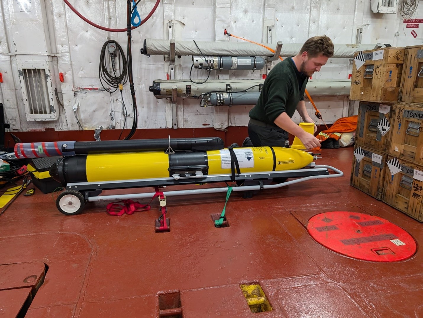
This morning, the science team and crew were preparing for the deployment of an undersea glider named “Mike” after its primary sensor, the microrider. This glider will be following a pre-determined sampling line for the next 22 days, while taking measurements of ocean turbulence, temperature, salinity, and oxygen. Once its mission is complete, we will be recovering the glider near the continental shelf near the end of our expedition.
This operation was led by glider technician Seth Fleming-Alho, who prepared the glider in the days leading up to its deployment by testing its sensors, communication systems, actuators (the ballast engine and air pump), and its general ability to operate in the frigid Arctic. The pre-deployment tests all went well, and the glider was ready to be deployed around 1:00pm local time!
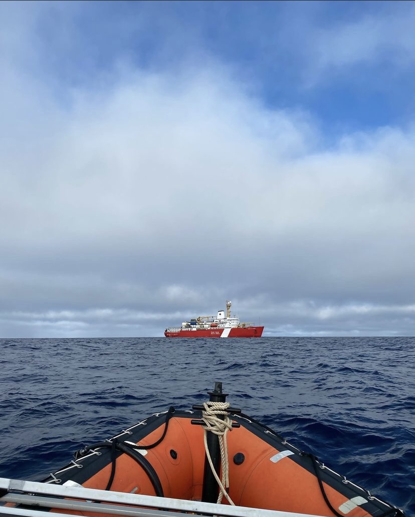
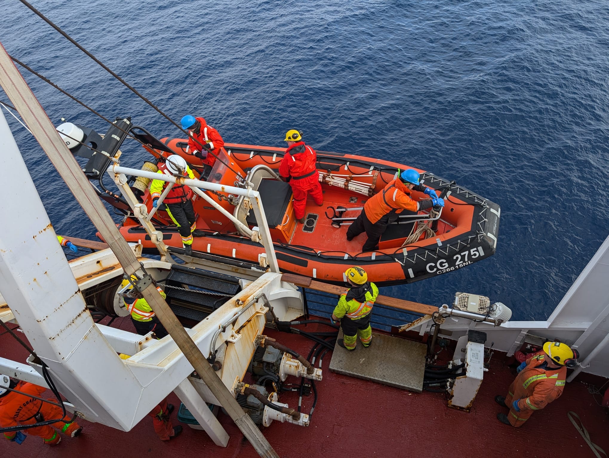
The deployment began with Seth mounting the delicate turbulence probes onto the glider and loading the instrument into the small boat. The boat carrying the glider (along with Seth and Paige Hagel from the science team, and two crew members) was lowered into the water. Once the team steered the small boat to a safe distance away from the Louis, the glider was carefully lowered into the water with a safety line and float attached to perform its initial test dives to ensure all systems were functional. The tests were successful, and the team retreated to the Louis and left the glider to explore the Arctic water column. The glider will transmit data via satellite about every 12 hours when it comes up to the ocean’s surface. We look forward to watching its progress!


