Dispatch 9: Out on the Ice!
Ashley Arroyo (Yale University)
September 7, 2024
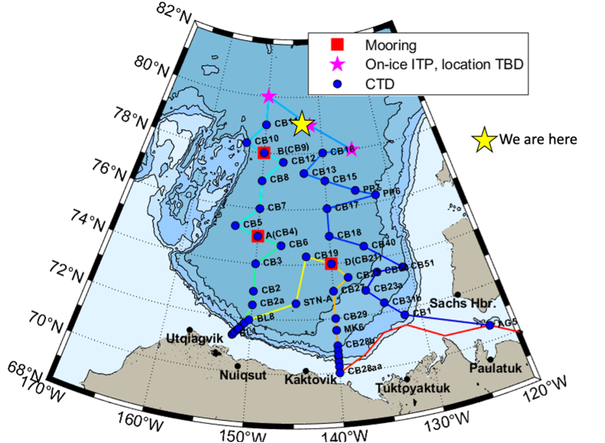
20:40 UTC, 78.82°N 144.45°W
Conditions:
- Overcast
- 80% sea ice cover
- -4°C
- Winds 10 knots southeasterly
- Sunrise: 07-Sep-2024 07:08:25 -06
- Sunset: 08-Sep-2024 00:05:48 -06
- Day length: 16h 57mn 24s
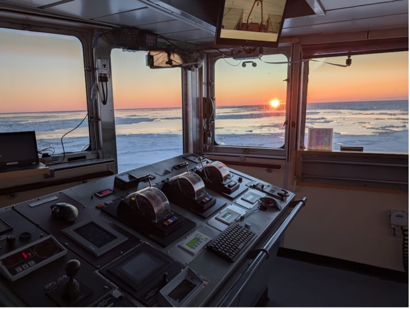
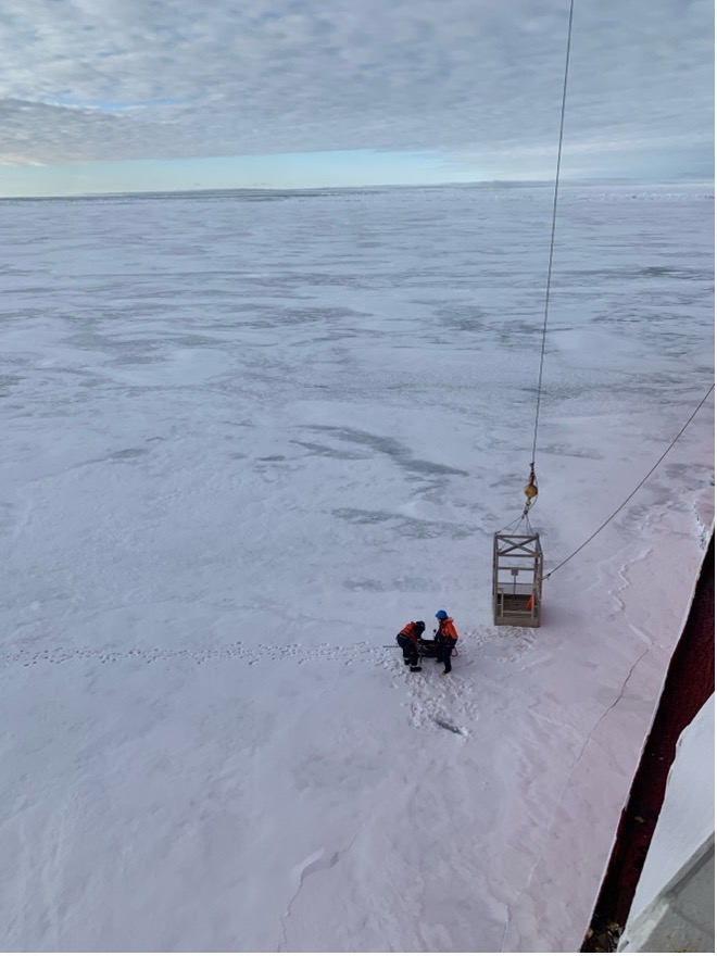
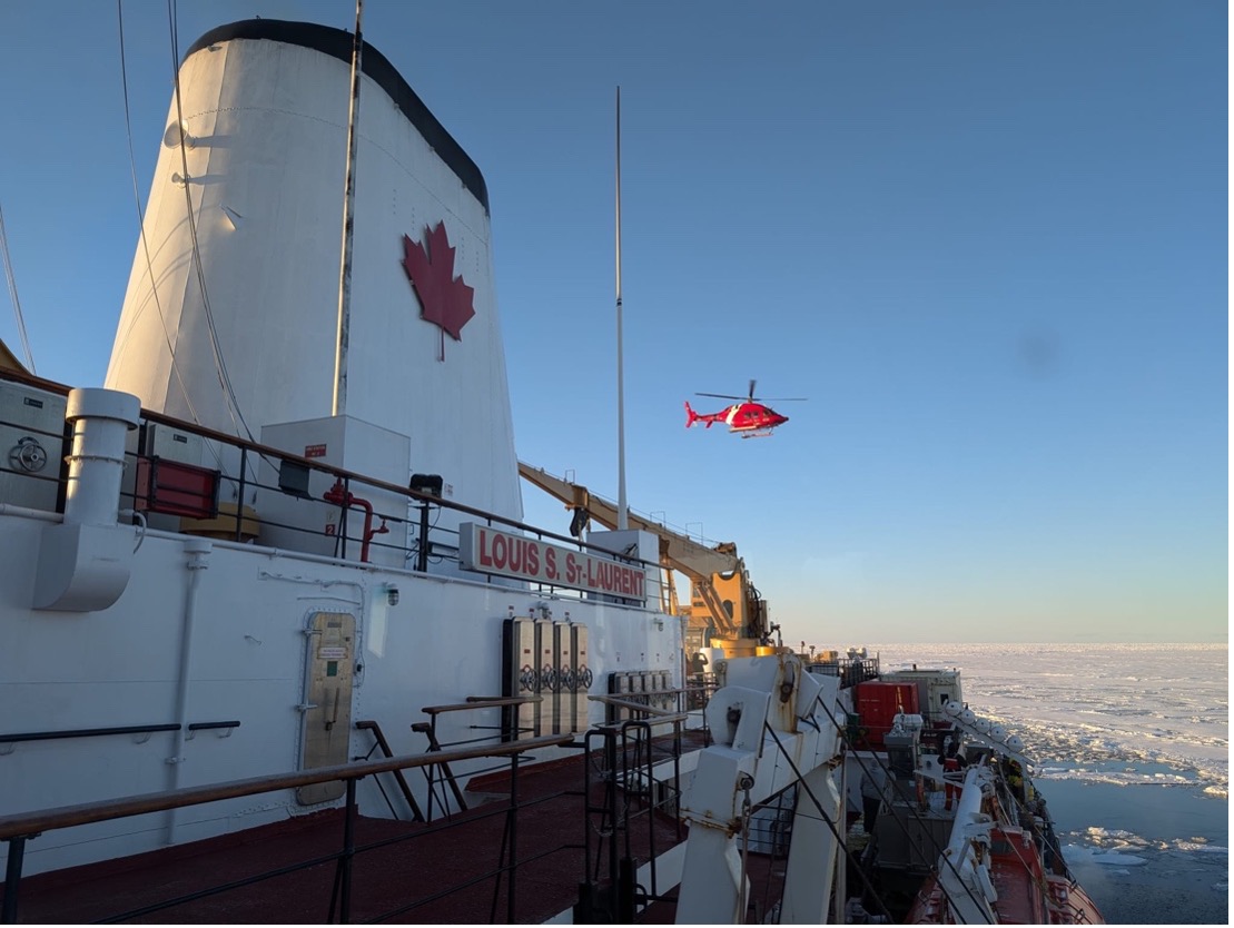
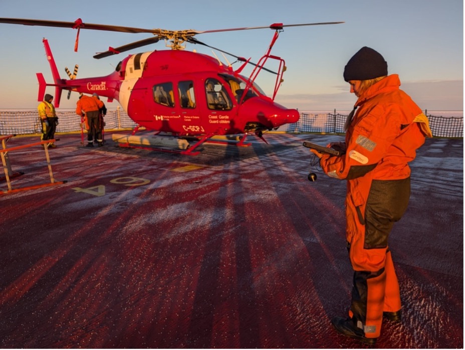
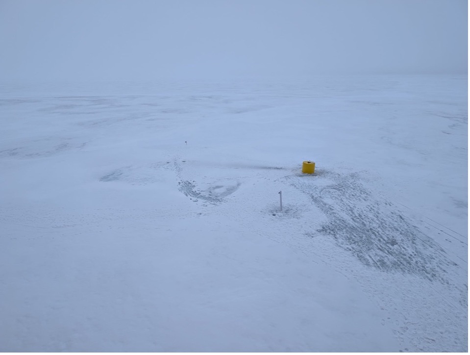
In the early hours of the morning, members of the science team were up on the bridge looking for suitable floes for an ice station (i.e., buoy deployments, ice thickness transects, and ice coring). The decision was made to use the helicopter for a sea-ice reconnaissance flight. The ice specialist on board (Alexandra Cournoyer) was in the front seat scanning for floes in discussion with three others from the science party on board. The flight pattern was determined based on satellite imagery that showed some potential candidates. Shortly after the helicopter and crew were back on the ship, we found a suitable floe to nestle into. Mary-Louise Timmermans and Jeff O’Brien were hoisted down onto the ice in the man basket where they checked the stability and thickness of the floe. For ice-based observatories, ideal floes are typically several kilometers across, and relatively uniform in terms of thickness. The floe was on the order of 0.3 meters thick and looked like a good choice to deploy buoys.
The plan was to deploy a Tethered-Ocean Profiler (TOP14) and a Seasonal Ice Mass Balance buoy (SIMB). Since these buoys are deployed on the same ice floe (about 10 meters apart), they will (with luck!) drift alongside one another and provide complimentary measurements throughout the year. The team from Woods Hole Oceanographic Institution (WHOI) deployed the TOP, while co-chief scientist Paul Macoun and technician Paige Hagel deployed the SIMB. While the science teams were deploying the buoys, Kazu Tateyama and his team were also out taking measurements of sea ice thickness/ snow depth, and drilling ice cores. For more information on the specifics of the ice work, see previous dispatch here.
Once all the ice work was completed and everyone was back onboard, we completed CTD/bongo net casts at our location. Since we were in heavy sea ice cover, the CTD watch-standers had to closely monitor the water surrounding the rosette wire to prevent any ice from coming too close. If ice approached, they would radio the bridge, who would activate the bubblers to push the ice away from the wire. After the casts were complete, the Louis began to steam west to our next ice station, which will take place tomorrow!
