Dispatch 18: On the hunt for old ice…
Jennifer Kosty (Yale University)
October 6, 2025
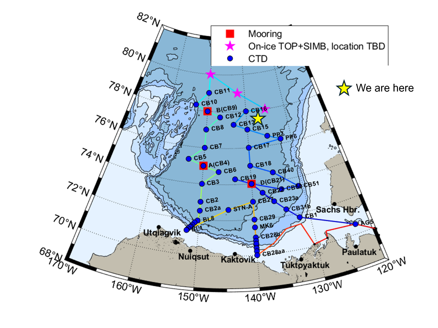
16:00 local, 77.51◦N, 138.46◦W
Conditions:
- Cloudy
- 100% sea ice cover
- -7◦C
- Sunrise: 6-Oct-2025 10:26
- Sunset: 6-Oct-2025 19:35
- Day length: 9 hours, 9 minutes
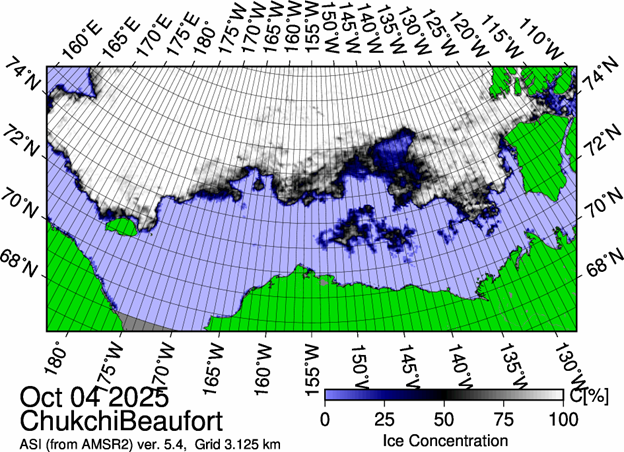
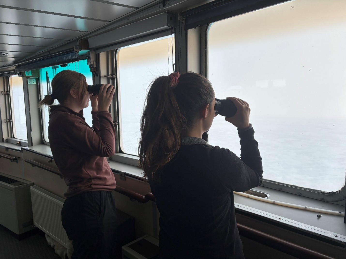
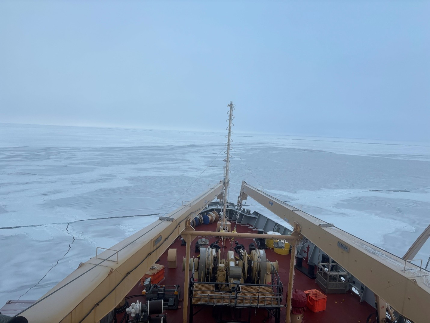
We have officially reached the half-way point of the 2025 BGOS/JOIS expedition! Today, we continued our search for an ice floe that is sufficiently large and thick for us to complete a full ice survey and deploy additional buoys. Unfortunately, the ice floes in this region appear to be predominantly a patchwork of thick multi-year ice (> 1 m) and thin first year ice (20-30 cm). We are searching for an ice floe with a more uniform thickness, which will provide a safer base for our ice work. We plan to continue our search in the eastern part of the Canada Basin, where there is a higher concentration of old ice.
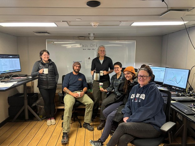
Meanwhile, the science team enjoyed a well-deserved quiet day inside the Louis. The on-board analysts continued to process samples that have been collected at the past few science stations. Co-chief scientist Sarah Zimmermann worked on reviewing and processing the CTD profile data to ensure the instruments are working properly while also searching for interesting water column features. Sarah-Ann Quesnel continued her review of the geochemistry samples that have been processed on-board in search of outliers, which could potentially result from a Niskin sampling bottle being closed at the wrong depth.
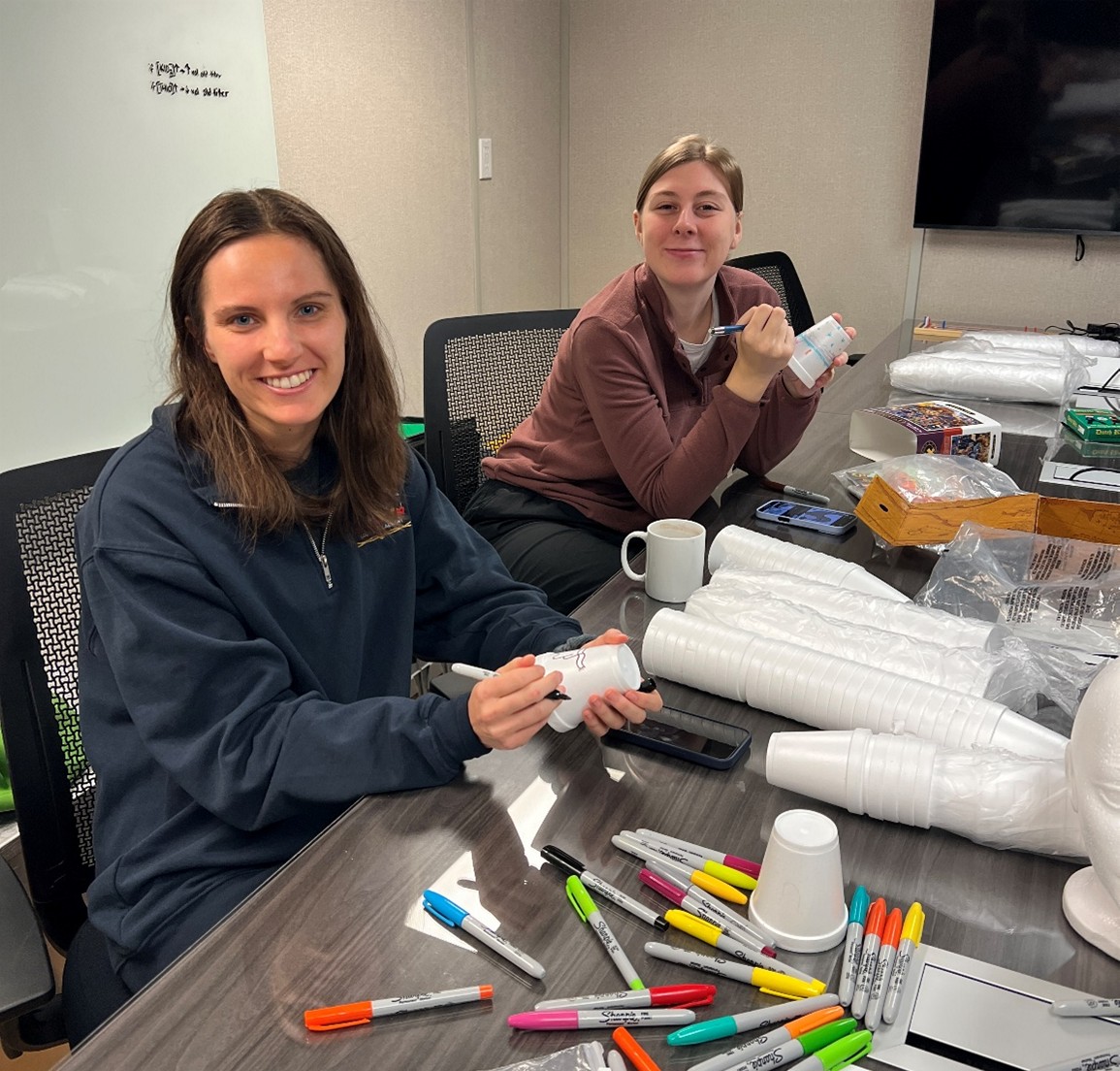
We also got out the supplies for everyone to decorate styrofoam “shrinky” cups, which will be sent to the bottom of the Arctic Ocean on an upcoming CTD rosette cast. The cups will shrink under the immense pressure of the 3800 m of ocean water above them, which makes a great souvenir for everyone to take home!
Tonight, we plan to return to CB-16 and complete a 3700 m CTD rosette cast. We will then continue our search for ice floes, with the hope of completing a full ice station tomorrow.
