Skip to content

Dispatch 21: Our last ice station

Jennifer Kosty (Yale University)

October 9, 2025

19:00 local, 76.06N, 132.56W

Conditions:

  • Cloudy
  • 100% sea ice cover
  • -16C
  • Sunrise: 9-Oct-2025 10:12
  • Sunset: 9-Oct-2025 19:00
  • Day length: 8 hours, 48 minutes

Time flies! We are officially 3 weeks into the 2025 BGOS/JOIS expedition and have only another 2 to go! The night watch wrapped up a 3500 m CTD rosette cast at PP-7 around 7 am, before going to enjoy a breakfast of eggs, turkey bacon, and strawberry cheesecake French toast bake. We spent the remainder of the morning hunting for another good ice floe, hoping to complete our third ice station today as the winds are projected to increase later this week.

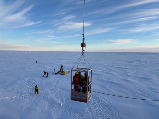
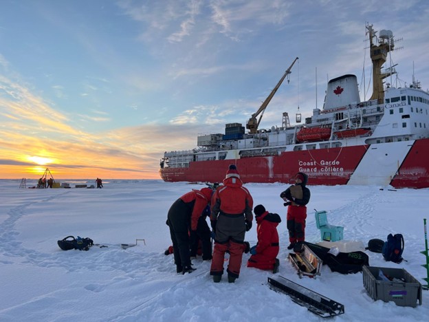
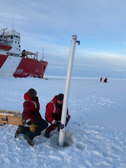
We found a good floe around 3 pm, and everyone started preparing to head back out on the ice. Unfortunately, our ice work got slightly delayed, as we soon discovered that the gangway could not be lowered safely. Instead, smaller groups of scientists and crew were lowered to the ice via the man-basket. The rest of the ice station followed a similar procedure to yesterday. We deployed a tethered ocean profiler (TOP) and a seasonal ice mass balance buoy (SIMB). The ice observing team conducted a 100 m survey of ice thickness and collected numerous ice cores which will be used for estimations of temperature, salinity, and density. We found that the ice thickness varied wildly across the 100 m transect, ranging from 30 cm to over 3 m! Around 8 pm, everyone was back on board, and we celebrated another successful ice station with some hot chocolate!

The day watch then completed a 1000 m CTD rosette cast, before we began our quick steam over to PP-6. We plan to spend the next couple of days completing the last science stations in this sector of the Canada Basin (PP-6, PP-5, CB-17) before heading southwest to CB-3.


Figure 1: The most recent sea ice concentration map for the Beaufort and Chukchi Seas (Source: https://data.seaice.uni-bremen.de/databrowser/).
Figure 2: Map showing our current location along the planned 2025 cruise track.
Photo 1: Andrew Ross, Dominique Baker, Annabel Payne, and Céline Guéguen being lowered to the ice via the man-basket.
Photo 2: The ice transect team preparing to take an ice core. Photo by Annabel Payne.
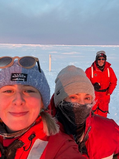
Photo 3: (left to right) Dominique Baker, Annabel Payne, and Andrew Ross taking a selfie with the seasonal ice mass balance buoy (SIMB). Photo by Dominique Baker.
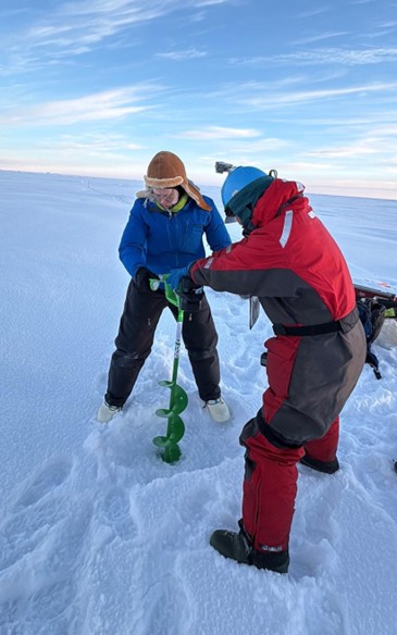
Photo 4: Sarah Zimmermann (left) and Takuji Waseda (right) drilling a hole to collect a water sample. Photo by Dominique Baker.
Photo 5: Chris Clarke (left) and Paul Macoun (right) deploying a seasonal ice mass balance buoy (SIMB). Photo by Dominique Baker.
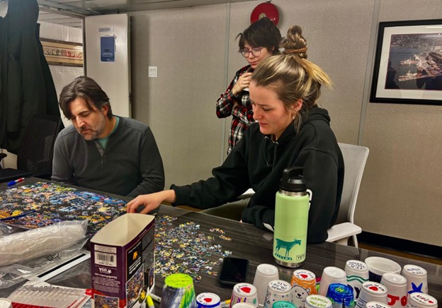
Photo 6: (left to right) Paul Macoun, Erinn Raftery, and Paige Hagel working on a puzzle while waiting for news about a potential ice floe candidate.