Dispatch 7: Mooring D Recovered
Jennifer Kosty (Yale University)
September 25, 2025
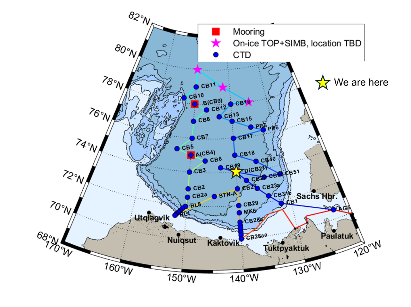
18:00 local, 74.03◦N, 140.26◦W
Conditions:
- Cloudy
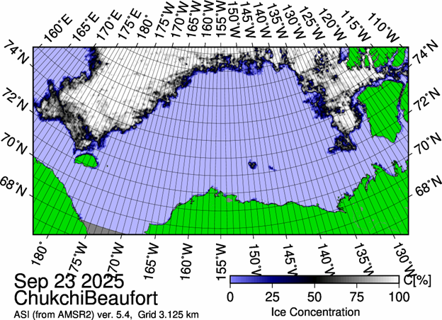
- 0% sea ice cover
- -2◦C
- Sunrise: 25-Sept-2025 09:16
- Sunset: 25-Sept-2025 21:06
- Day length: 11 hours, 50 minutes
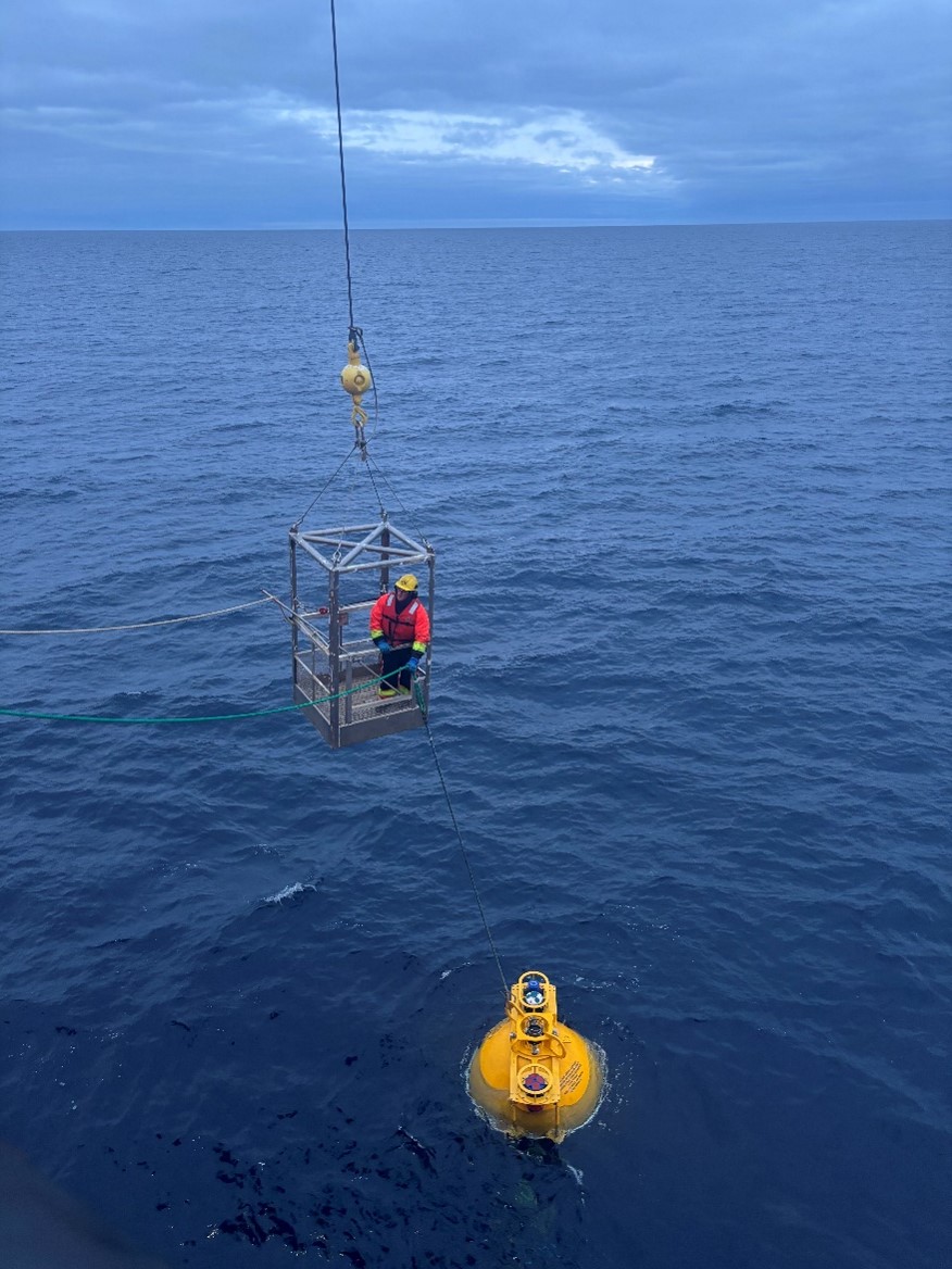
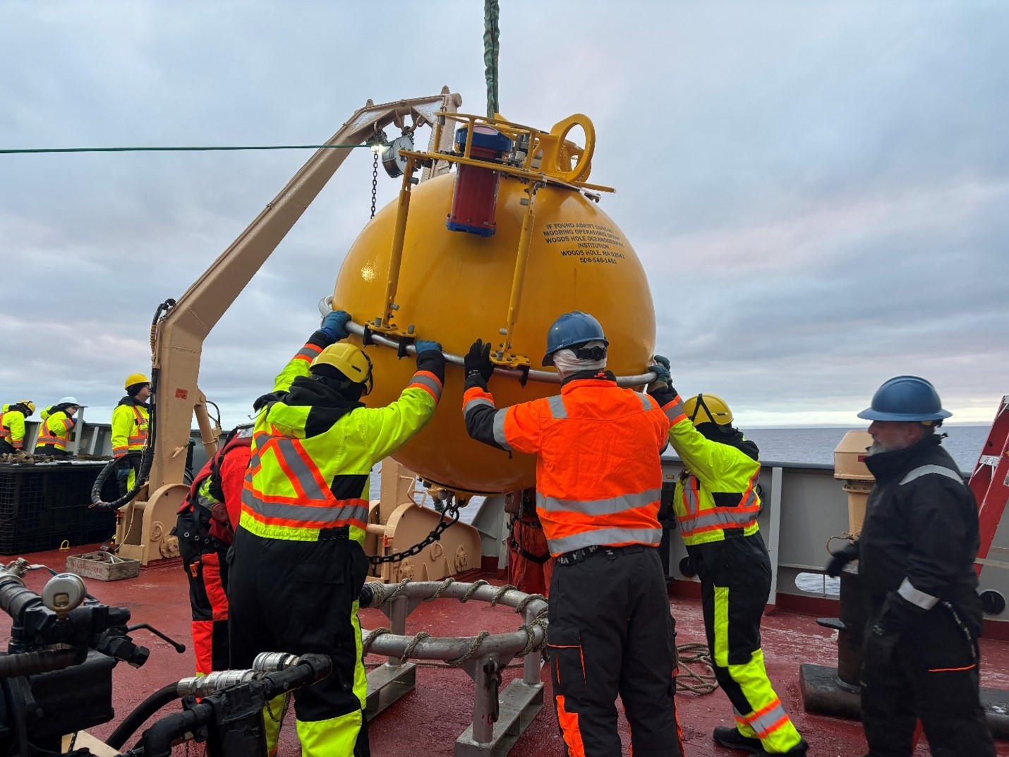
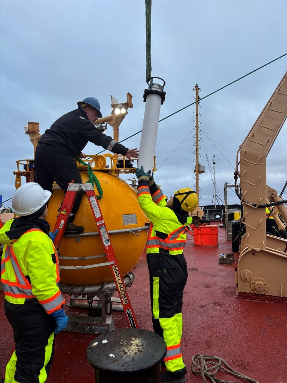
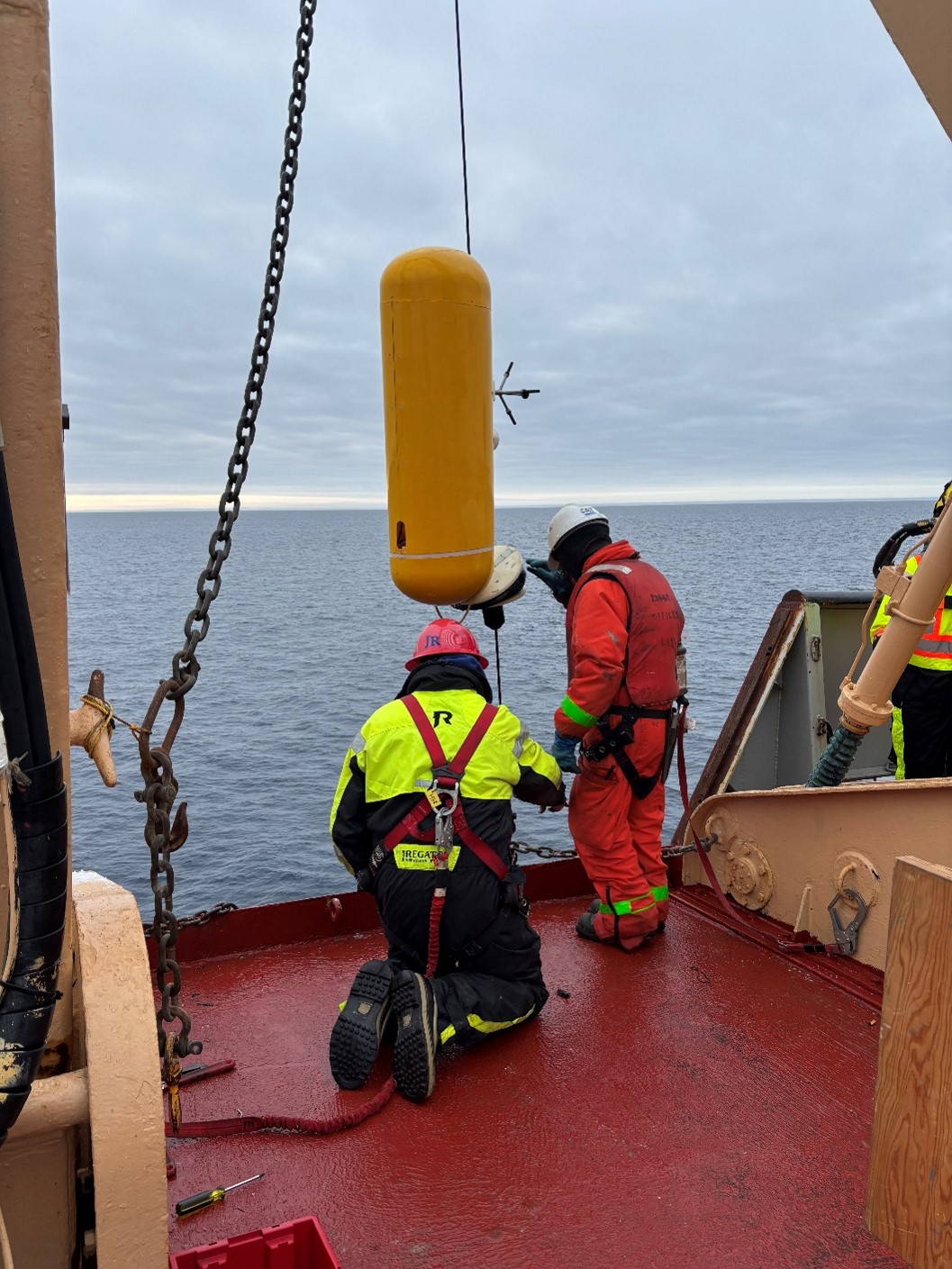
This morning, we recovered Mooring D, the first of the three BGOS moorings! The recovery process started at 6:30 am, with the BGOS team (Jeff O’Brien, Tim McDonough, Jim Ryder, Cory Beatty, and Jennifer Kosty) working with the bridge to identify Mooring D’s exact location. After a quick breakfast of eggs, hashbrowns, and blueberry pancakes (which were a big hit amongst the science team), we headed to the fore deck, and Jeff O’Brien sent the signal to release Mooring D from its anchor. Luckily, we were in calm, ice-free water so it was easy to spot Mooring D’s bright yellow top sphere when it surfaced a few minutes later. Deckhand Jerome Sibley once again entered the man-basket and clipped the sphere into the winch. We then began the 3-hour long process of bringing Mooring D and its numerous instruments back on board. The recovery process went smoothly, thanks to the help of boatswain Rico Amamio and the many deckhands and cadets who were there to assist!
Once Mooring D was fully on board, the day watch completed another CTD rosette cast. Meanwhile, the BGOS team was busy downloading data from Mooring D’s instruments. We will be redeploying Mooring D tomorrow with several of these same instruments, so it is important to confirm the quality of their data as soon as possible. We were thrilled to see that all the instruments were working well and reporting high-quality data, which will be added to the 20-year time series collected here at Mooring D! The rest of the evening was spent re-programming the instruments and preparing for Mooring D’s redeployment.
There is no time to waste on board, so tonight we will be steaming towards CB-19, where the night watch will complete another CTD rosette cast. We will then return to Mooring D’s drop location and begin the redeployment process tomorrow morning!
