Dispatch 11: The Inside Scoop on the Ice Specialists
Sam De Abreu
September 25, 2023
Dispatch 11: The Inside Scoop on the Ice Specialists
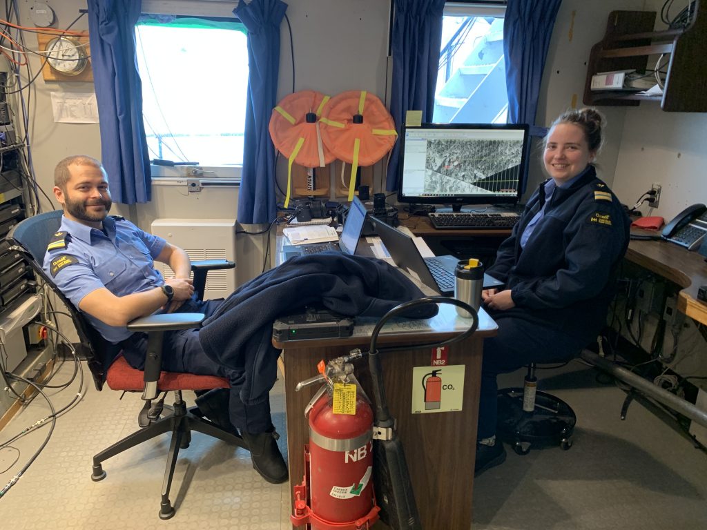
Today we spent another day on the ice conducting research and deploying and embedding ocean instruments into the ice. For these ice days to happen, we need to be able to park our icebreaker into the ice floe without it cracking significantly and it being safe enough for us to comfortably traverse. How do we find these perfect ice floes, especially in such low sea-ice conditions this year? Luckily, we have two sea ice specialists on board, (Kirsten and Pascal) who specialize in finding these ice floes and navigating around them. Between majoring in geography, training with the Canadian Ice Service, and studying observational sea ice science, these two have lots of experience! To get a sense of how they do what they do, I sat down with them and discussed ice specialist basics.
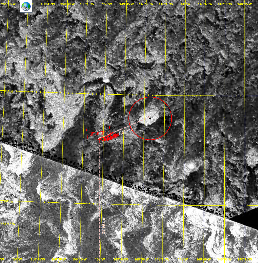
Kirsten and Pascal’s most important tool is satellite. They use a combination of RCM (RADARSAT constellation mission), three Canadian satellites that perform observations, and Sentinel-2, an optical satellite (able to resolve features as small as 10 m) from the European space program. The satellites in RCM send out a signal (energy) and record the amount of energy that is reflected from Earth (this is called synthetic aperture radar). This allows the satellite to create an “image” of a specific area in black and white where very bright white spots correspond to areas that reflected large amounts of energy (typically areas with rougher topography). Sentinel-2 produces high quality pictures of areas (hence it being optical). This can be useful when wanting to identify fractures or other features in floes. Sentinel-2 depends on the weather being clear, otherwise the cloud cover will block the image (RCM doesn’t have this issue as it can read signals through clouds!).
Now what do Kirsten and Pascal look for when looking for that perfect ice floe for an ice station? They look for blobs with a white boundary and a dark interior from RADARSAT images, indicating ridged edges and a flat interior (the ice floe being flat is important for the ocean instruments and the ridging implies a more robust structure). In addition, the blobs should be somewhat circular. Newer ice typically forms in a blocky/rectangular shape whereas older ice has endured numerous collisions with other floes, resulting in a rounder shape. Next, using Sentinel-2 (if the weather permits), they look at the edges of the floe and determine whether it fractured from a larger ice floe as a clean cut (straight-line fracture) or fractured in a more sheared cut (like tearing cardboard apart with your hands). The former indicates a stronger and more robust structure, which is necessary for the ice station. Lastly, once a candidate is found, we may sail to it and see if we can park in it or send a helicopter to visually check it out.
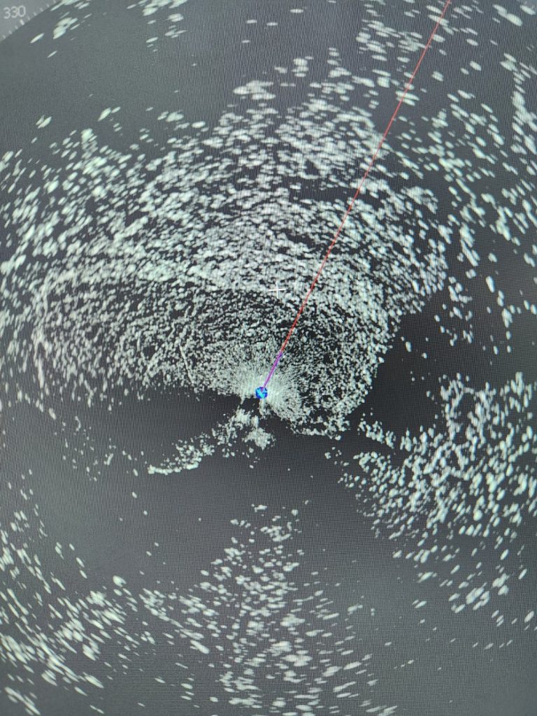
Typically, when we are not looking for an ice station, Kirsten and Pascal are doing the opposite: looking for routes that avoid ice that is hard to break through. Using their tools, they will either create a route that goes through regions of thin or no ice and give it to the bridge or provide ice condition reports on the boat’s current trajectory. The bridge is also equipped with their own radar to detect sea ice topography that functions like RCM, except that the signal is sent out and received at the ship. This can become useful when quick decisions must be made, and RCM has not passed over the region recently (typically two pass overs a day). A sea ice specialist’s job is a unique and crucial part to the everyday workings of an icebreaker, and we are lucky to have them aboard!


