Dispatch 15: All Hands on Deck - Part 1
Helen Gemmrich
September 6, 2021
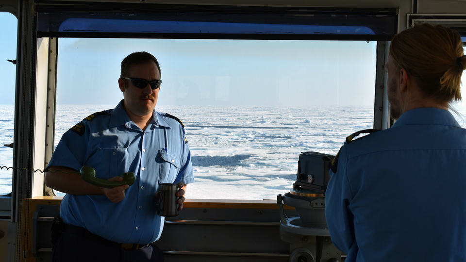
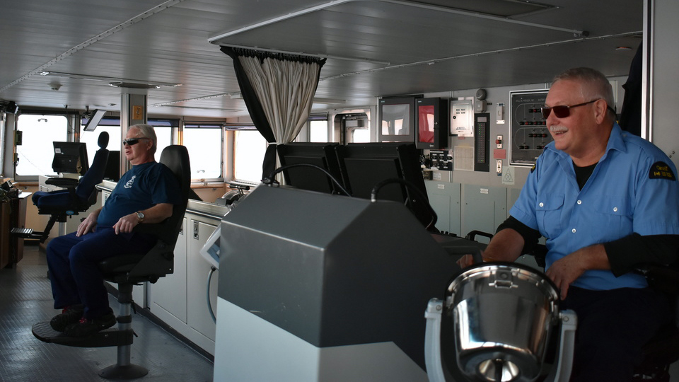
Step onto the bridge (with permission) and you’ll likely first notice the remarkable view of ice and ocean meeting the clouds. There are no landmarks out here in the Beaufort Sea, and at high latitudes, the sun’s rays stretch the sun’s colors into beautiful shades. A quick look around and you’ll next spot the officer on watch and the quartermaster, maneuvering the ship among a plethora of displays, knobs and switches. Above all, the navigation and deck team ensure the safety of the ship, crew, and equipment.
The officers, or mates, spend most of their workday on the bridge, with occasional inspection rounds for designated tasks. First Mate Nick Houle, for example, is in charge of the muster plans, confined space training, and firefighting equipment. All crew members complete firefighting training, and the ship regularly has emergency drills. Lifesaving equipment, such as lifeboats, lifejackets, and even the flashlights next to everyone’s bed, fall under the responsibility of the Third Mate, Alex Missi. Together with Kerry Mercer, the ship’s medical officer, he also checks that the ship’s clinic is stocked and ready to go. Second Mate Dan Loghin is primarily responsible for nautical charts and route planning.
Every half hour, the officer on watch notes the ship’s position on a large nautical chart and in the huge, official logbook (as thick as a novel and about the size of a baking tray). For this trip, we target specific waypoints for our science stations, so the chart also has pencil markings plotting out our science route. Once we move off the chart to another region, the old markings are erased for the next crew and a new chart appears from the chart room.
The Louis carries roughly 500 paper charts, covering the waterways in the entire Arctic Archipelago, from the coast of Alaska to the Bering Strait and Hudson Bay, all the way down to Maine and up the St. Lawrence River. Most charts are Canadian, but there are also American and Danish charts, for example, depending on the route. Binders with exhaustive lists (“A few volumes,” Dan said) of lights, buoys, and other navigation aids line the shelves next to radio and sailing directions, a summary of local knowledge on specific waterways. Charts are living documents, and it is the second mate’s responsibility to check the monthly updates for any changes.
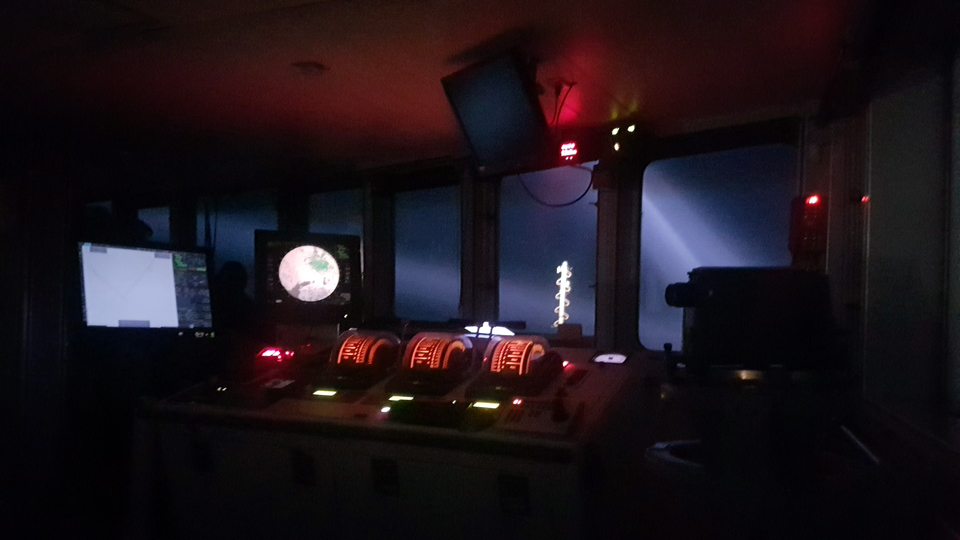
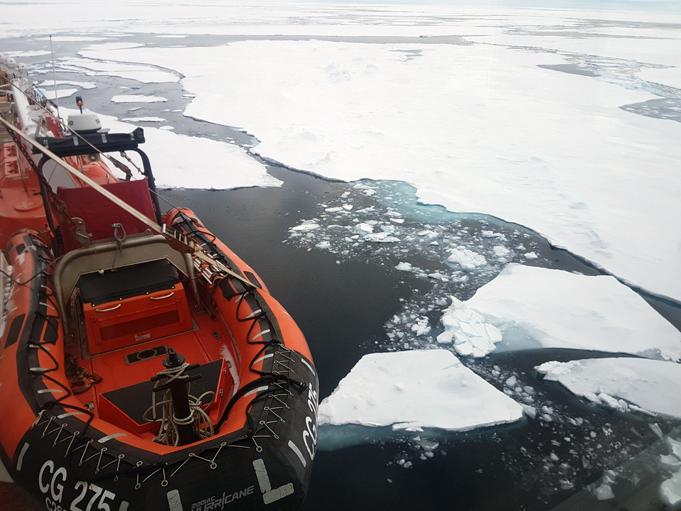
The Louis also has a full suite of electronic charts, multiple radar systems (including an ice radar!), GPS and high- and medium- range radios. At night, small red lights give the quartermaster, also known as a leading deckhand, just enough light to keep course but still see outside. When navigating in the Arctic, there are few other vessels around but lots of hard ice to avoid. Fun fact: The Louis doesn’t actually wedge through the ice but rather rides over it and breaks it by shear weight! To help with lubricating the hull and making small adjustments, the bridge uses “bubblers,” which blow air bubbles from the side of the hull.
Stay tuned for Part 2: The Deck Crew!
