Dispatch 17: Mooring D
Isabela Le Bras
September 8, 2021
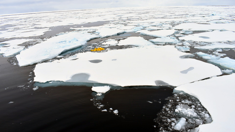
As we crashed our way to mooring D, it became clear that this was not going to be an easy mooring recovery. All around us was the most concentrated and most uneven ice we had seen all trip! Thick ridges of old ice were wedged between thin sheets riddled with deep blue melt ponds causing the Louis to jolt at every encounter.
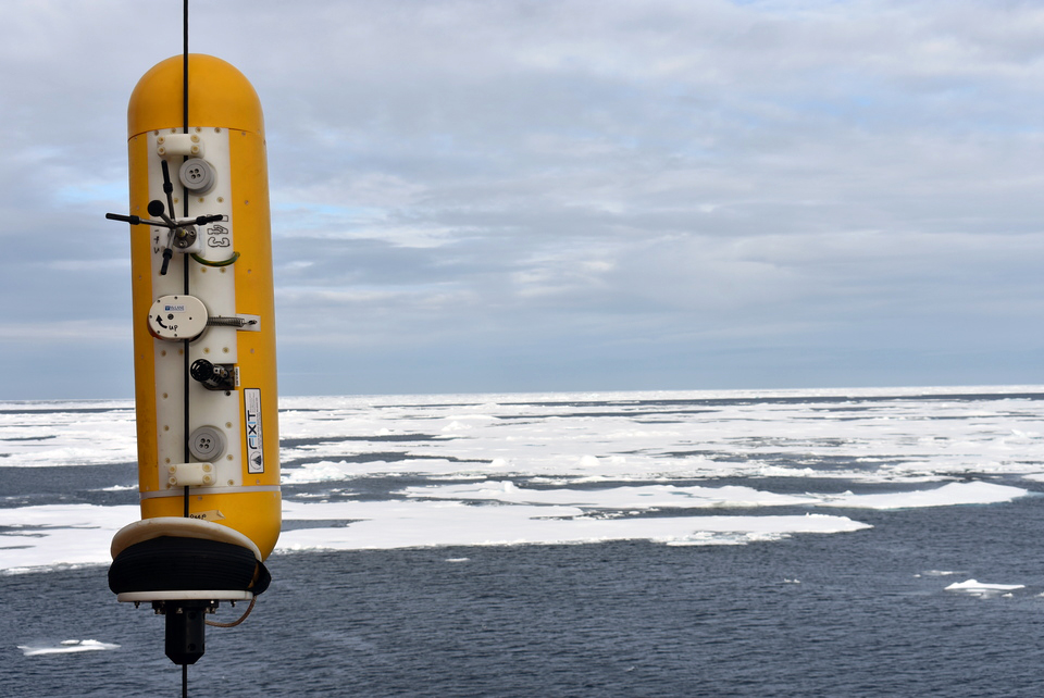
We awoke to fog, another piece of bad news for a mooring recovery. If it didn’t clear, Jim Ryder said that we would have to postpone recovery. There was still hope we would be able to proceed that day though – before recovery we had to do the acoustic survey to locate the mooring’s exact position. Jeff O’Brien fired up the deck box, which sends acoustic signals to the “releases” connecting the mooring to its anchor. As their name suggests, we would eventually send a signal to the releases to let go of the anchor and rise to the surface.
For the mooring survey, the Louis steered in a 500m radius circle around the site where mooring D was dropped in 2018. Jeff and I monitored the triangulation program on the computer screen and after the Louis had covered about three quarters of the circle we had a location for the anchor. Next, we tried “talking” to another acoustic device just below the mooring sphere at 30m. If we could communicate with this “pinger”, we would be able to triangulate the top of the mooring, which could be leaning over in the ocean currents. We did not have high hopes of reaching the pinger as the previous two had been unresponsive. But when Jeff sent it a message it replied with 15 beeps spaced 1 second apart – we had the pinger! The Louis did another circle to survey the pinger position and we were in business. Armed with precise locations for both the anchor and the sphere, we approached the site. By this time the fog had lifted and we were ready for recovery.
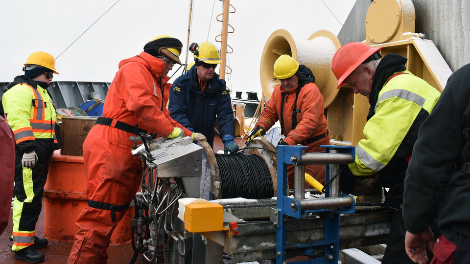
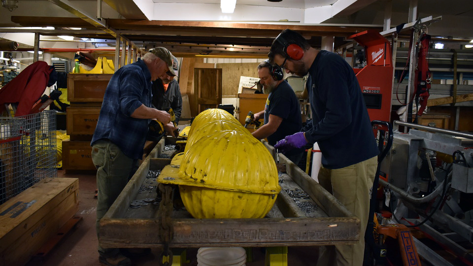
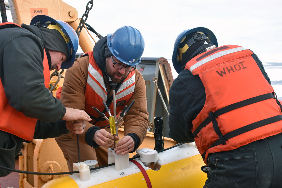
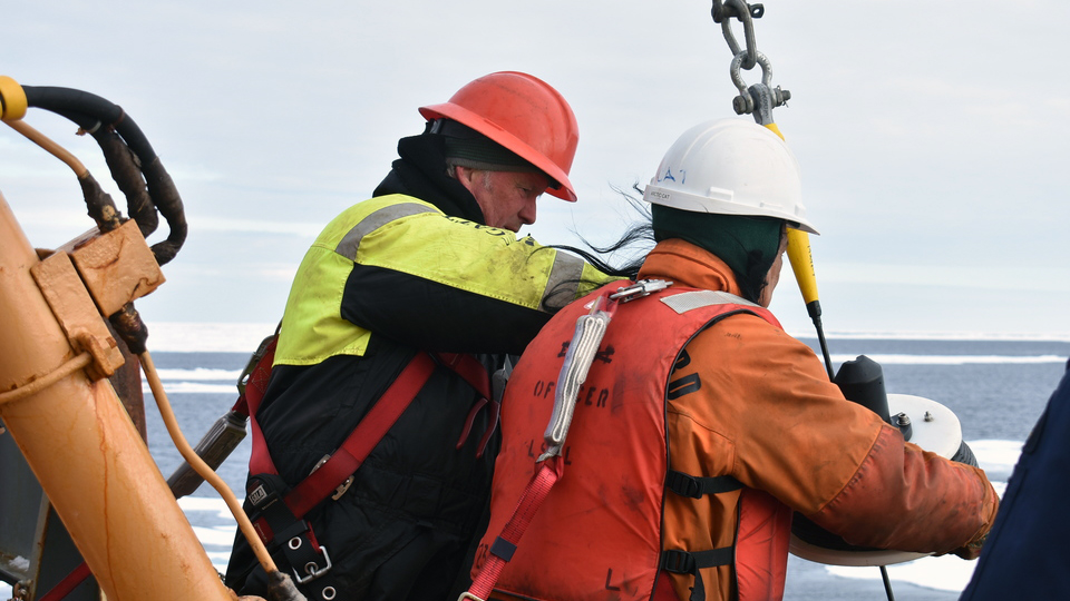
Captain Neil MacDonald cleared the ice around our surveyed site and repositioned the Louis so that the mooring would not come up underneath us. When the message “bridge is ready for release” came through, Jeff sent the release command. The release replied with 15 beeps separated by 2 seconds each – the mooring was released and coming to the surface! Three seconds later, the top sphere was at the surface, right in front of the Louis. About 40 minutes later, the bottom floatation had made it to the surface and the deck team hauled the mooring aboard for the next four hours. As with moorings A and B, Jeff O’Brien and Fred Marin downloaded all the data and prepared instruments for re-deployment, while I checked that the data seemed reasonable, and Jim Ryder and Cory Beatty readied the mooring equipment for deployment the next day.
The deployment had its own challenges. The seafloor varies from about 3500 to 3530m deep near the mooring site, so we had to be able to predict were the Louis would drift (to keep the wire suspending the 3000lb anchor vertical) over the 5-hour mooring deployment. If we were too far off, the profiling instruments would run into their bumpers too fast and wear out quickly. The sphere, which is supposed to sit at 30m to avoid ice ridges, could also end up at the surface if the mooring were deployed in a shallow area.
Upon returning to the mooring site in the morning, the captain set up the Louis to drift in the wind and ocean currents. The Louis was drifting at 0.6 knots, so we headed 3 nautical miles upstream to make sure we would hit the target. An hour into the deployment, we had slowed to 0.3 knots as the sea ice piled up behind the Louis. At this rate, it would take us ten hours to get there. Captain MacDonald managed to carefully maneuvering the Louis into a patch of open water and our drift rate increased. After a few more maneuvers, we dropped the mooring right on target. Next year we will be back to collect another year of exciting mooring data!

