Dispatch 12: TOPs, SIMBBs, AOFBs – Oh My!
Elizabeth Bailey
September 27, 2022
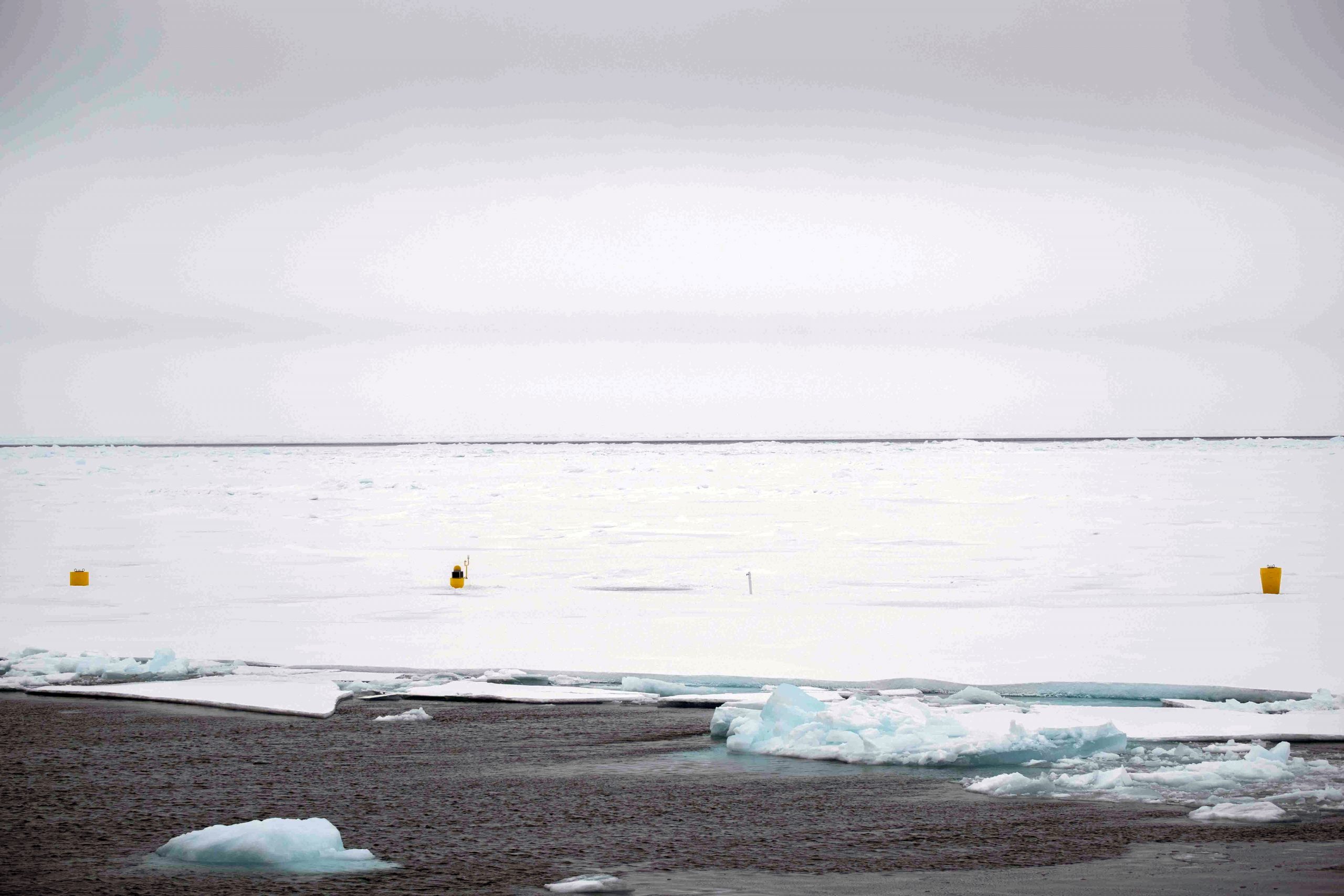
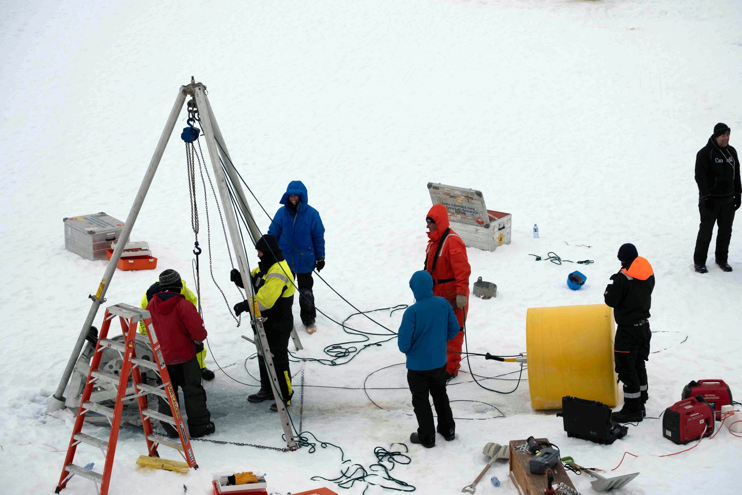
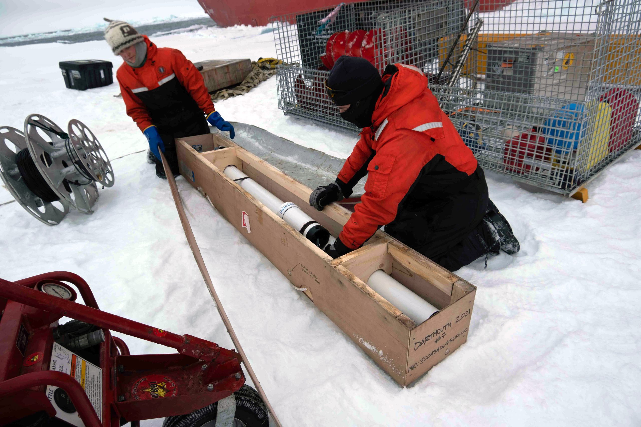
During our ice stations, we deployed three other buoys in addition to the Ice-Tethered Profiler (ITP, discussed in dispatch 10) – a Tethered Ocean Profiler, a Seasonal Ice Mass Balance Buoy, and an Arctic Ocean Flux Buoy. All three of these instruments are complimentary to the data collected by the ITP and provide useful data on the upper Arctic Ocean and the sea ice above that is not captured by the ITP.
Tethered Ocean Profilers (TOPs) are a new innovation in observing the Arctic Ocean. The first TOPs were deployed last fall during this expedition. In some ways, TOPs are similar to Ice-Tethered Profilers – there is a profiler that collects data on temperature, salinity, and pressure with a surface package that transmits data onshore via satellite. In contrast to an ITP, TOPs travel up their wire until they bump the bottom of sea ice (compared to an ITP that doesn’t profile shallower than about 7 meters in depth), allowing for the sensors to collect temperature, salinity, and pressure data all the way to the ice-ocean interface – the upper most part of polar oceans that is vastly important with respect to understanding mixing processes and heat exchange between sea ice and the ocean below.
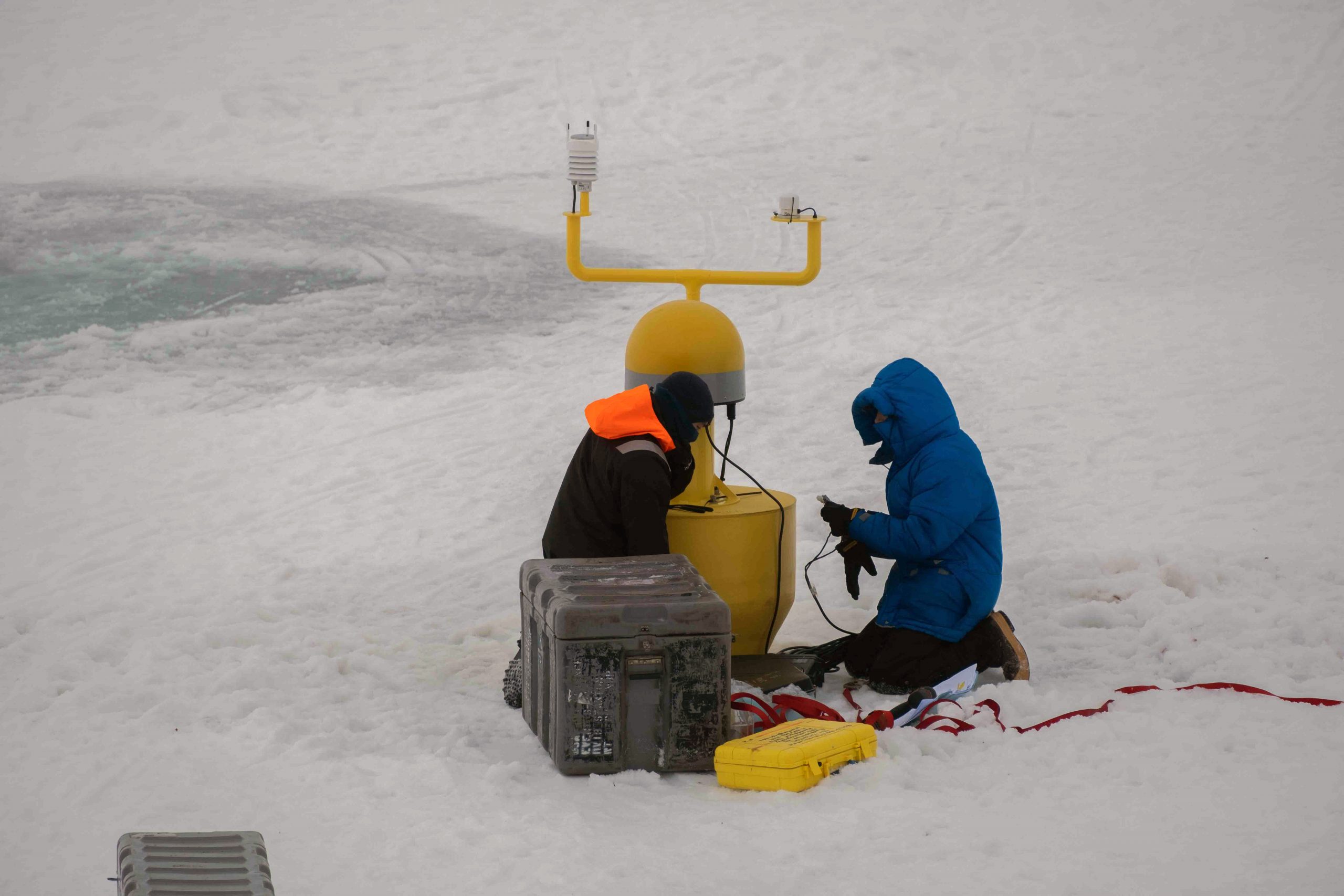
Another instrument that was deployed during the ice stations was a Seasonal Ice Mass Balance Buoy (SIMBB), which uses acoustics to measure the thickness of ice and snow on an ice floe. In addition to ice and snow thickness, the SIMBB also records data on air temperature, atmospheric air pressure, and ocean temperature, as well as provides a temperature profile through the snow and ice. Like the ITP and TOP, there is a satellite modem on the instrument that provides real-time data on an online portal for anyone to access.
The fourth buoy that was deployed was an Arctic Ocean Flux Buoy (AOFB). This buoy measures vertical fluxes, or the vertical transport, of heat, salt, and momentum from a fixed depth near the surface of the water column. The AOFB is made up of an instrument package and a surface package. The instrument package is lowered through a hole in the ice and includes velocity sensors and precise temperature and salinity sensors. After the instrument package has sampled the water column for 20 minutes, the data are sent to the surface package where a few calculations are performed, then the data are transmitted onshore via satellite.
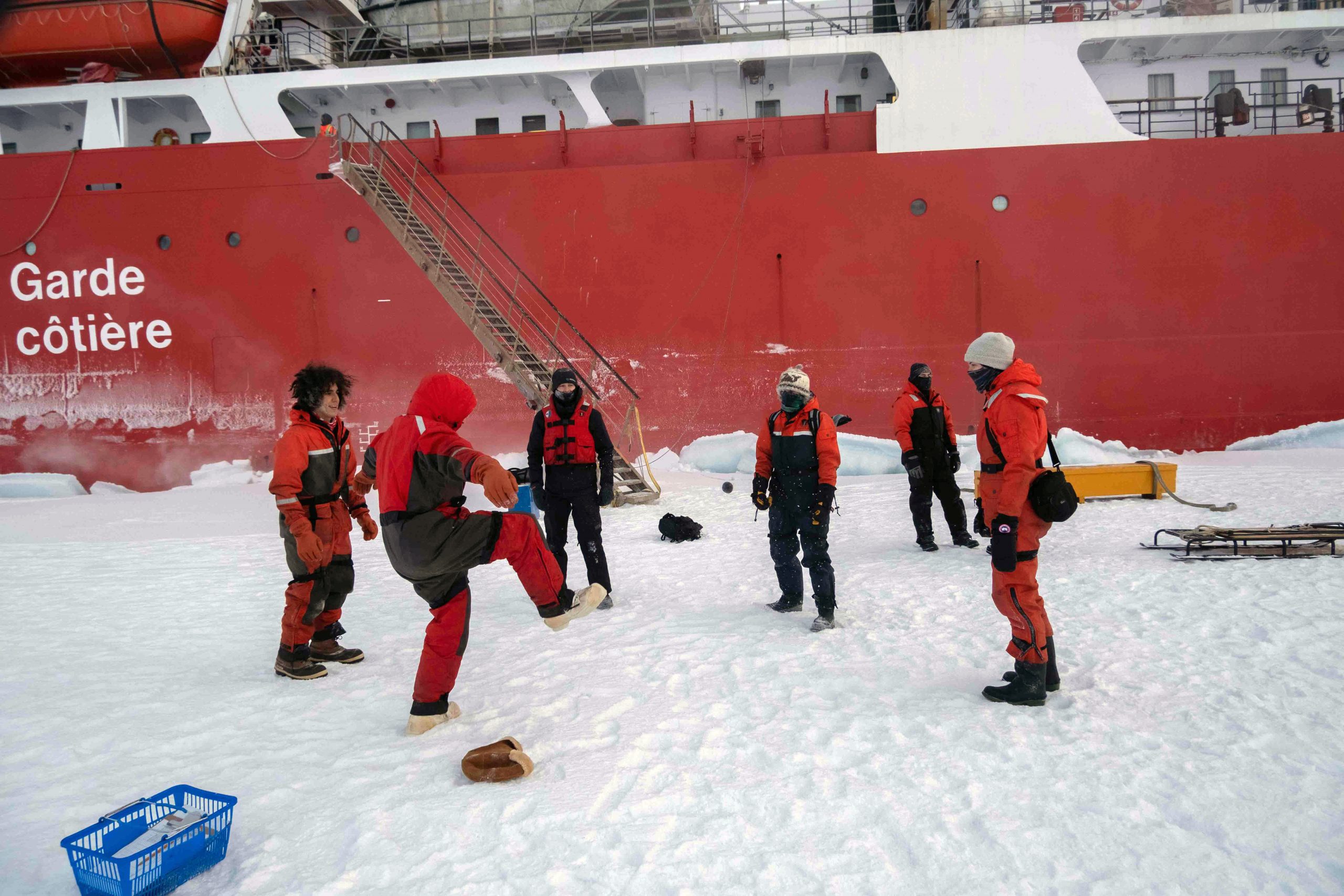
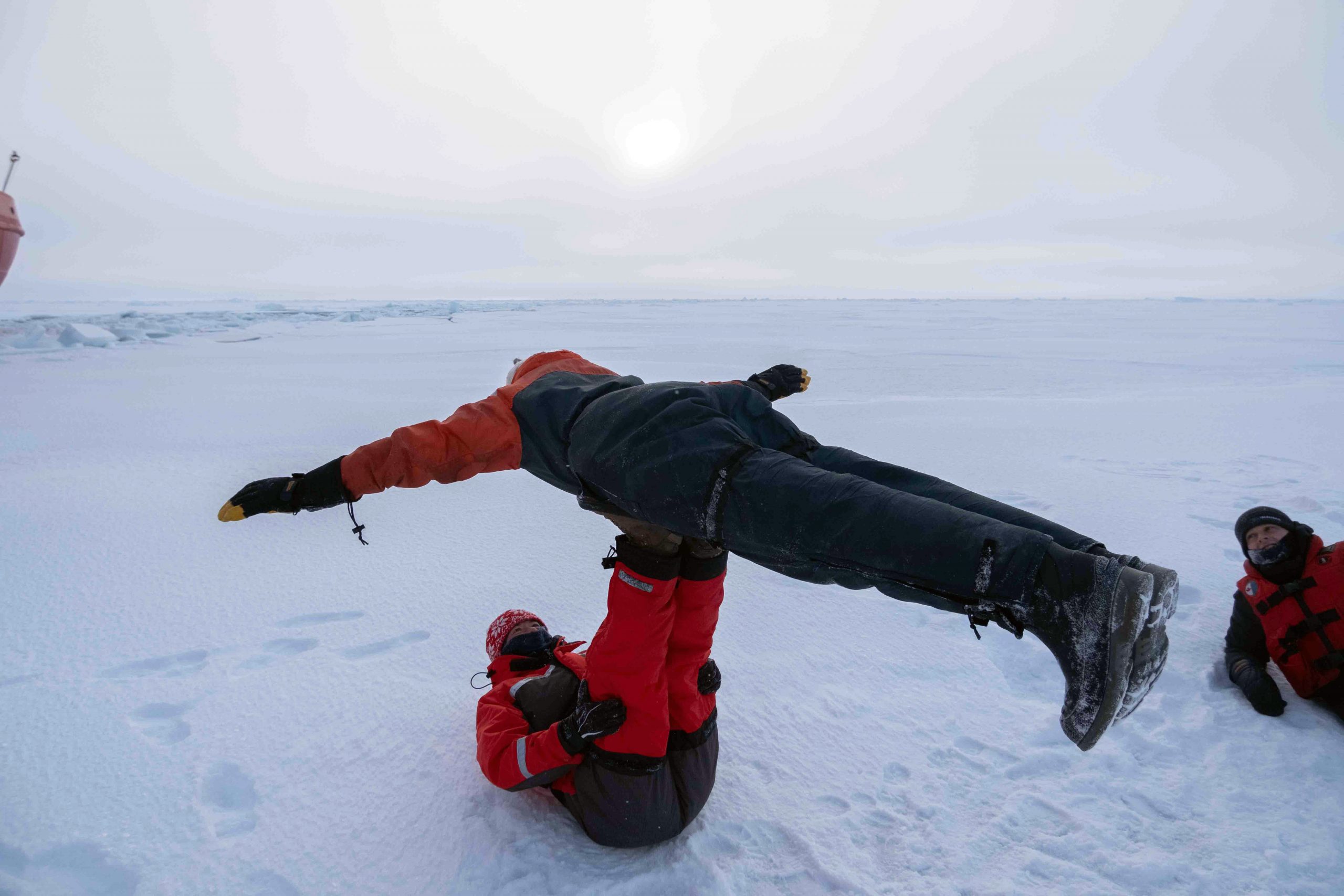
As for what else the scientists did on the ice? At the end of our last ice station, we made time for an on-ice game of hacky sack and a few individuals took some time for on-ice yoga and acrobatics! Overall, the ice stations were an incredibly productive time for science, as well as an exciting time for everyone involved! We look forward to the coming days when we will begin our mooring operations (to be discussed in future dispatches – so stay tuned)!
