Dispatch 20: A Storm at Sea!
Elizabeth Bailey
October 5, 2022
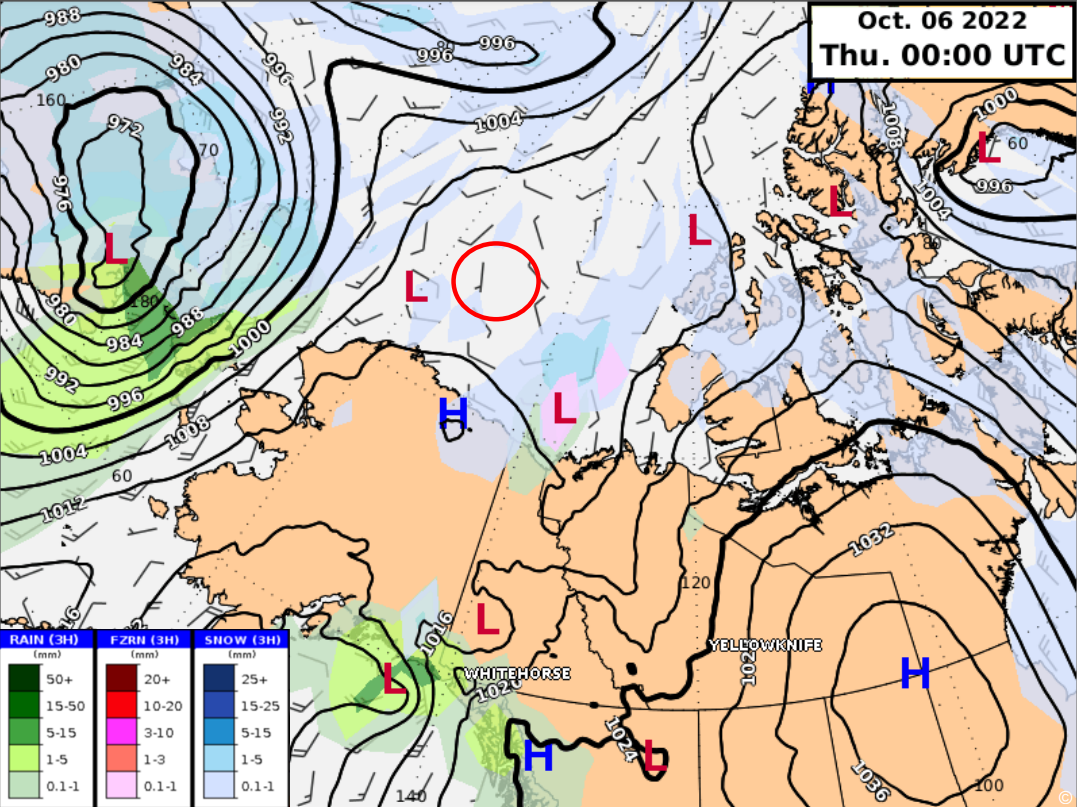
As of last night, and over the next couple of days, the ship will be feeling the effects of a strong low pressure storm system that is currently just off the west coast of Alaska. The storm is expected to continue towards the coast of Alaska and then move northward into the Beaufort Gyre. Much like this low-pressure system, tropical cyclones (i.e., typhoons and hurricanes) are a type of storm system with a low-pressure center (or eye) with a spiral of thunderstorms. These types of storms rotate counterclockwise in the northern hemisphere and clockwise in the southern hemisphere – an effect of the Earth’s rotation.
Tropical cyclones form when winds blow across over warm ocean water. This causes warm, moist air to rise rapidly into the atmosphere. As this air cools, the water in the air condenses and forms clouds while also releasing energy and giving tropical clones their strength.
What is the difference between a typhoon and hurricane? There isn’t any difference between them apart from their geographic location. While both are tropical cyclones, in the Northwest Pacific Ocean, these storms are called typhoons whereas Hurricanes are tropical cyclones that are over the Northeast Pacific or North Atlantic oceans. Storms systems below the equator are typically referred to simply as tropical cyclones.
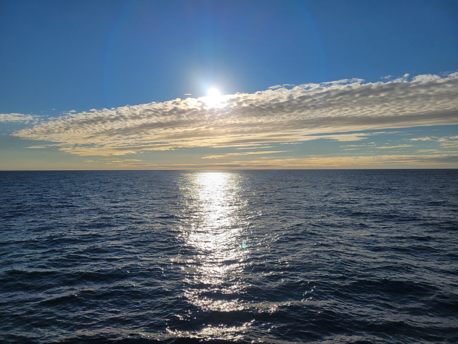
Due to some delays, we are still in open waters off the northern coast of Alaska, feeling the beginnings of the large swells created by this low-pressure system. The current estimates are that there could be waves as large as 9 meters! Once we are back in the ice pack, it’s expected that we won’t feel the swell anymore as the sea ice dampens the affects of wind on the surface of the ocean. However, we will still feel the expected winds on deck with gusts possibly over 40 knots! Though the storm headed our way isn’t a typhoon, we’re still looking forward to the shelter the ice pack will provide us!

