Dispatch 14: We’ve Completed Our First Mooring Station!
Elizabeth Bailey
September 29, 2022
An important goal of the expedition (apart from the CTD casts and ice station operations discussed in previous dispatches) is the recovery and deployment of three moorings that make up the Beaufort Gyre Observing System (BGOS). A mooring is a collection of instruments that are tethered to a wire, which is anchored to the sea floor with a float at the top that keeps the wire vertical. Yesterday, the team from WHOI (Jim Ryder, Jeff O’Brien, James Kuo, John Jordan) successfully recovered our first mooring of the expedition. Then today, a new mooring was deployed – maintaining a timeseries of two decades worth of data on the Beaufort Gyre established by these moorings.
The BGOS moorings have a variety of sensors and instruments that collect data for a year or more before they are recovered and replaced during this annual expedition. The bottom most instrument on these moorings is a bottom pressure recorder that sits next to the anchor and collects data that can be used to analyze variations in the weight of the entire water column (which can change as the sea level varies) over time. The bottom pressure recorder is attached to two acoustic releases. When it is time for the mooring to be released from it’s anchor and float back to the surface, the acoustic releases are pinged from a computer onboard, and the entire mooring (except the anchor) is released and floats to the ocean surface.
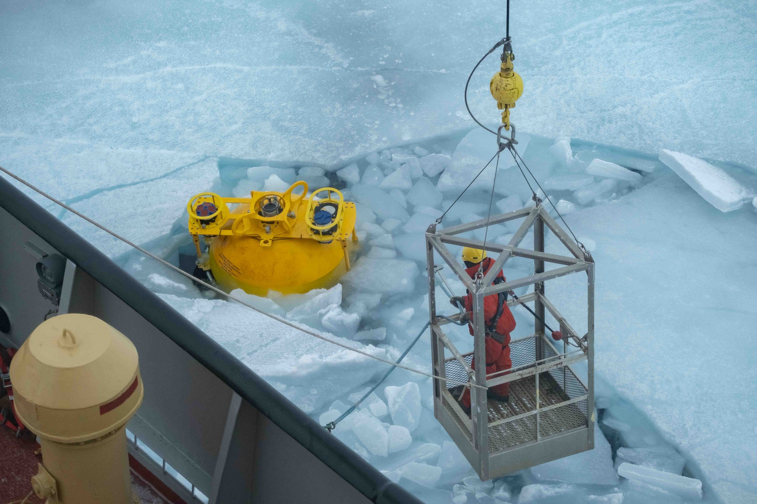
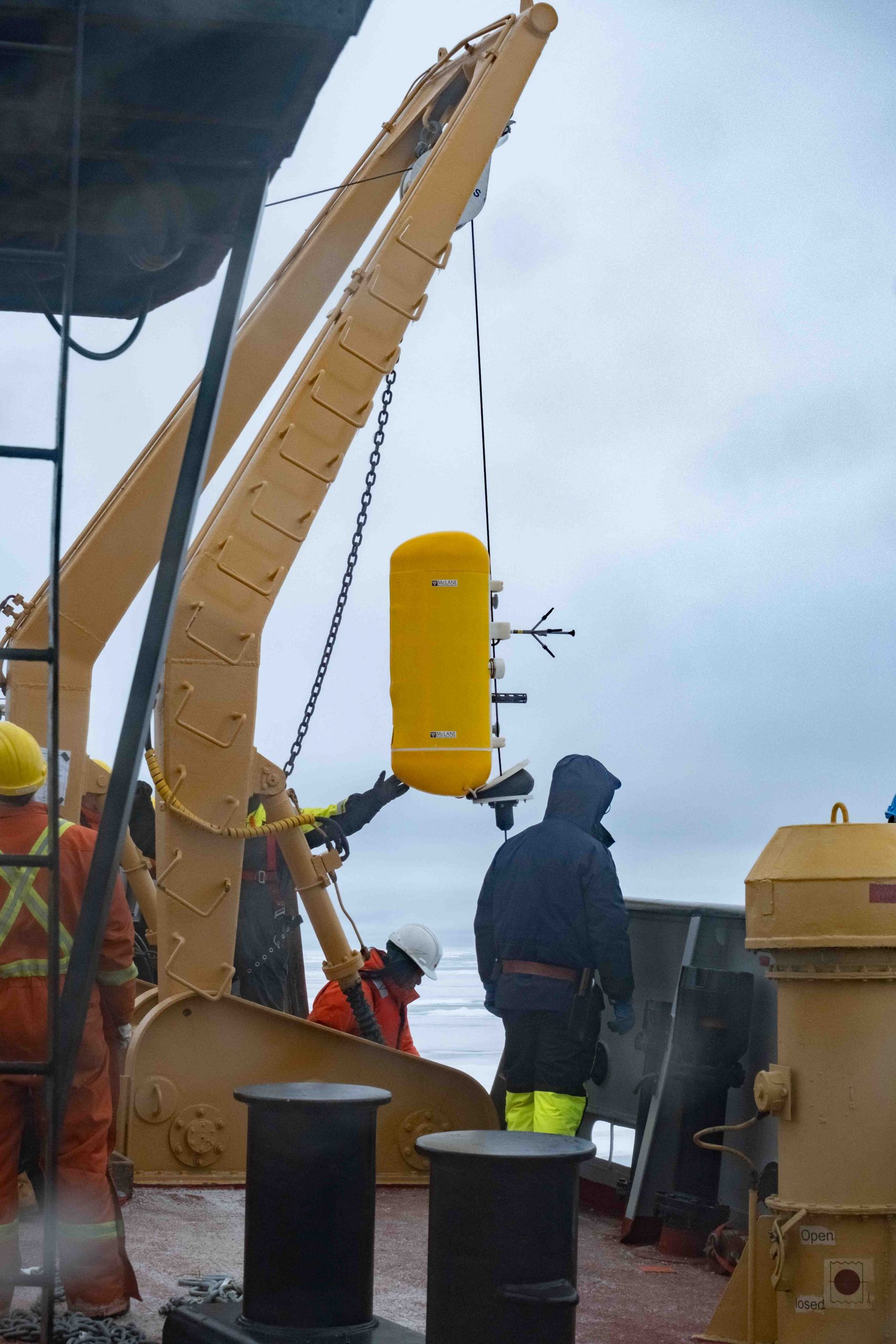
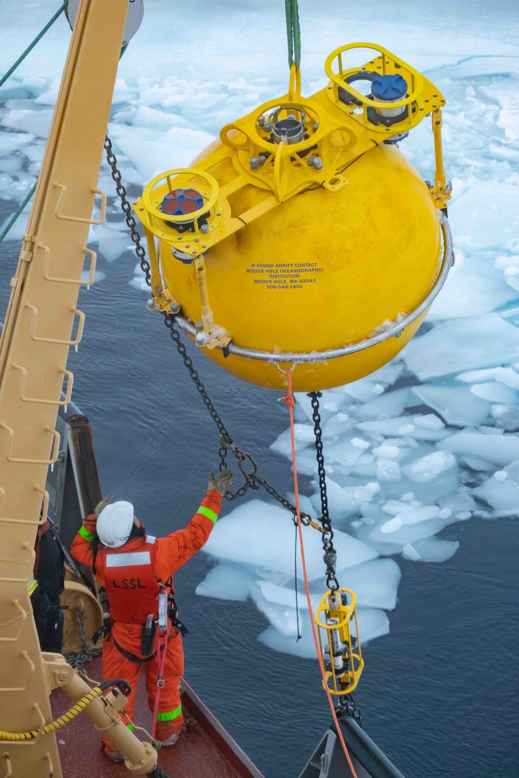
The bulk of the mooring is comprised of wire on which McLane Moored Profilers (MMPs) climb up and down, collecting data on temperature, salinity, velocity, and depth. On each of our moorings, there are two MMPs that each profile 1000 meters of the water column in less than a day! At the top of the mooring, which floats at about 30 meters below the surface of the ocean, is a big yellow sphere that houses instruments that measure velocities, depth, temperature, salinity, and ice draft by looking upwards. Just below the sphere, a Submersible Autonomous Moored Instrument (SAMI) measures dissolved CO2 and the pH of seawater.
The recovery of these instruments is incredibly important because, unlike the buoys deployed in the ice, the data collected by the moorings are only available after the instruments have been recovered and the data can be downloaded from them. So, we are just now able to begin looking at some of the data that the moorings have collected over the past year. There are still two more mooring stations that we are looking forward to!


