Dispatch 19: Goodbye for now, Mooring B!
Jennifer Kosty (Yale University)
October 6, 2026
14:30 local, 77.59◦N, 149.59◦W
Conditions:
- Flurries
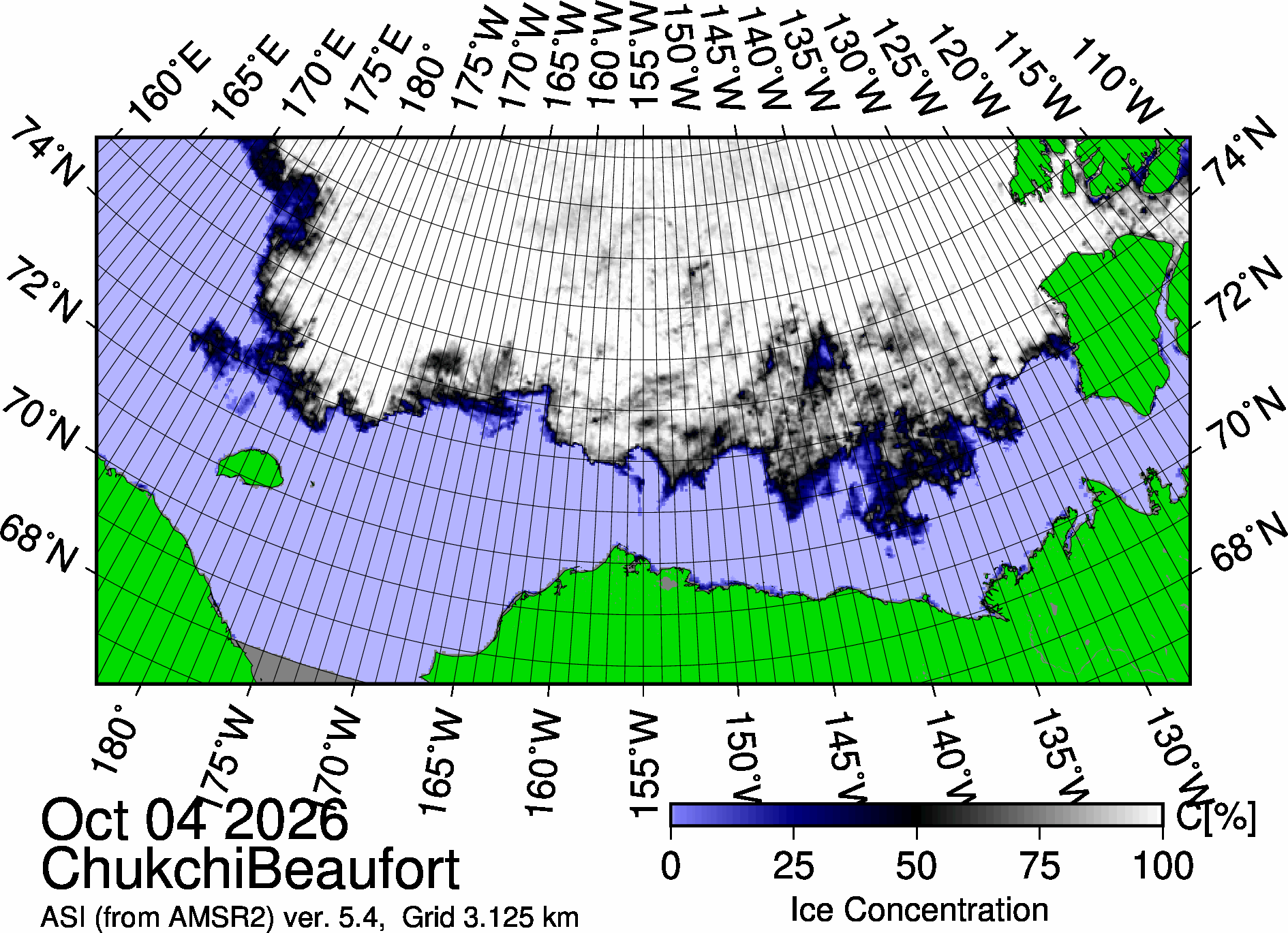
- 100% sea ice cover
- -15.6◦C
- Sunrise: 10:10 PDT (local)
- Sunset: 19:20 PDT (local)
- Day length: 9 hours, 10 minutes
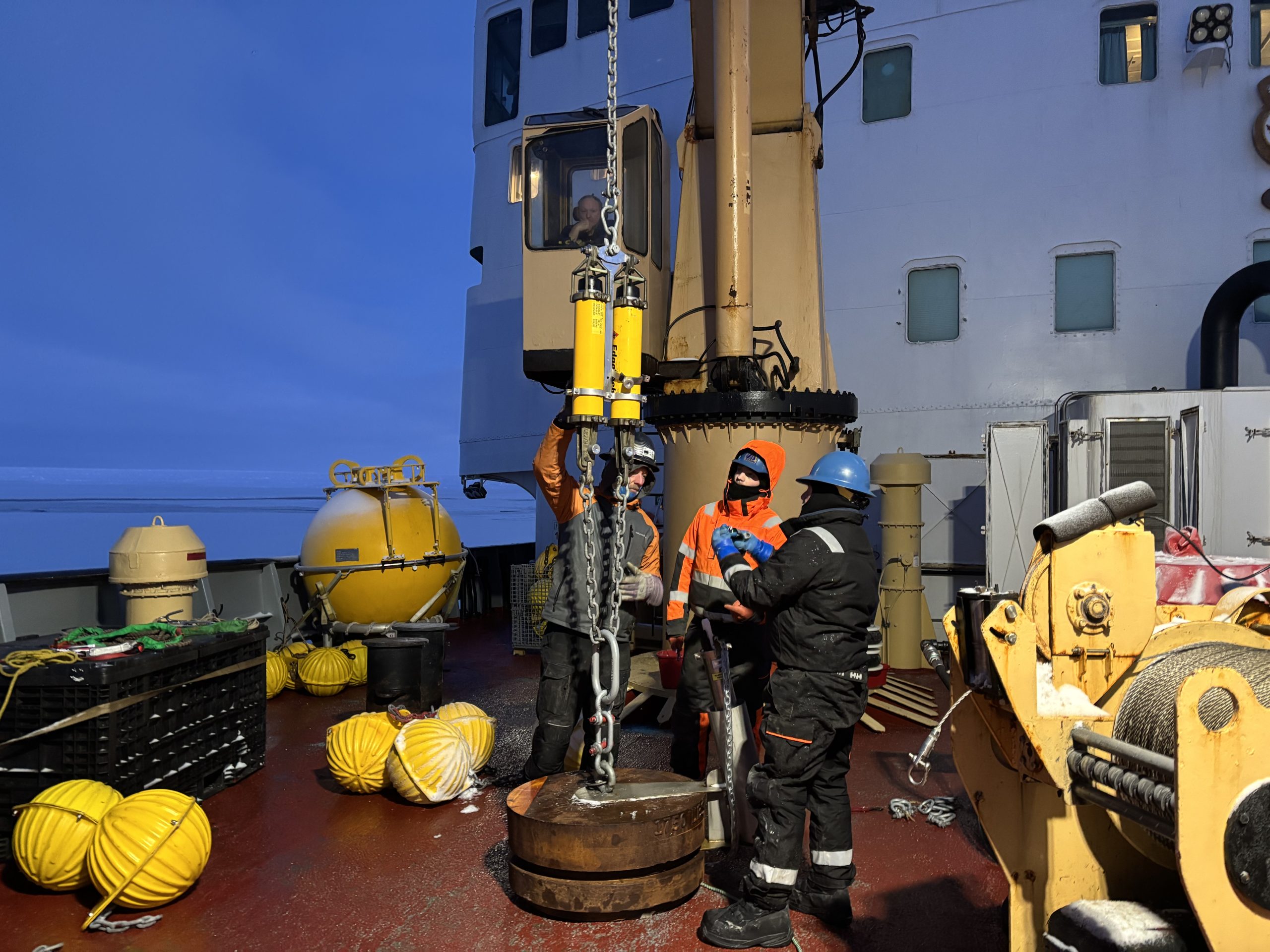
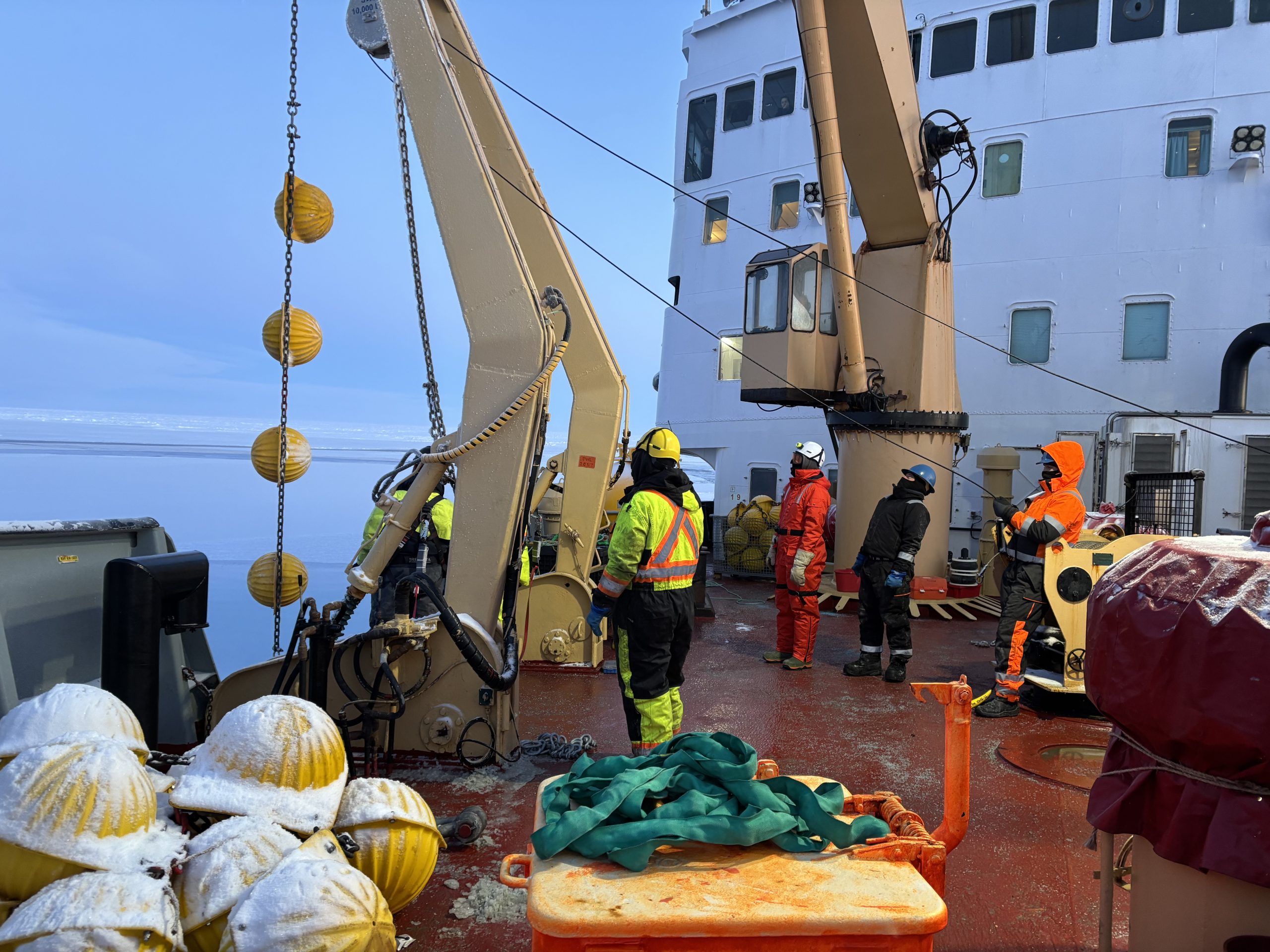
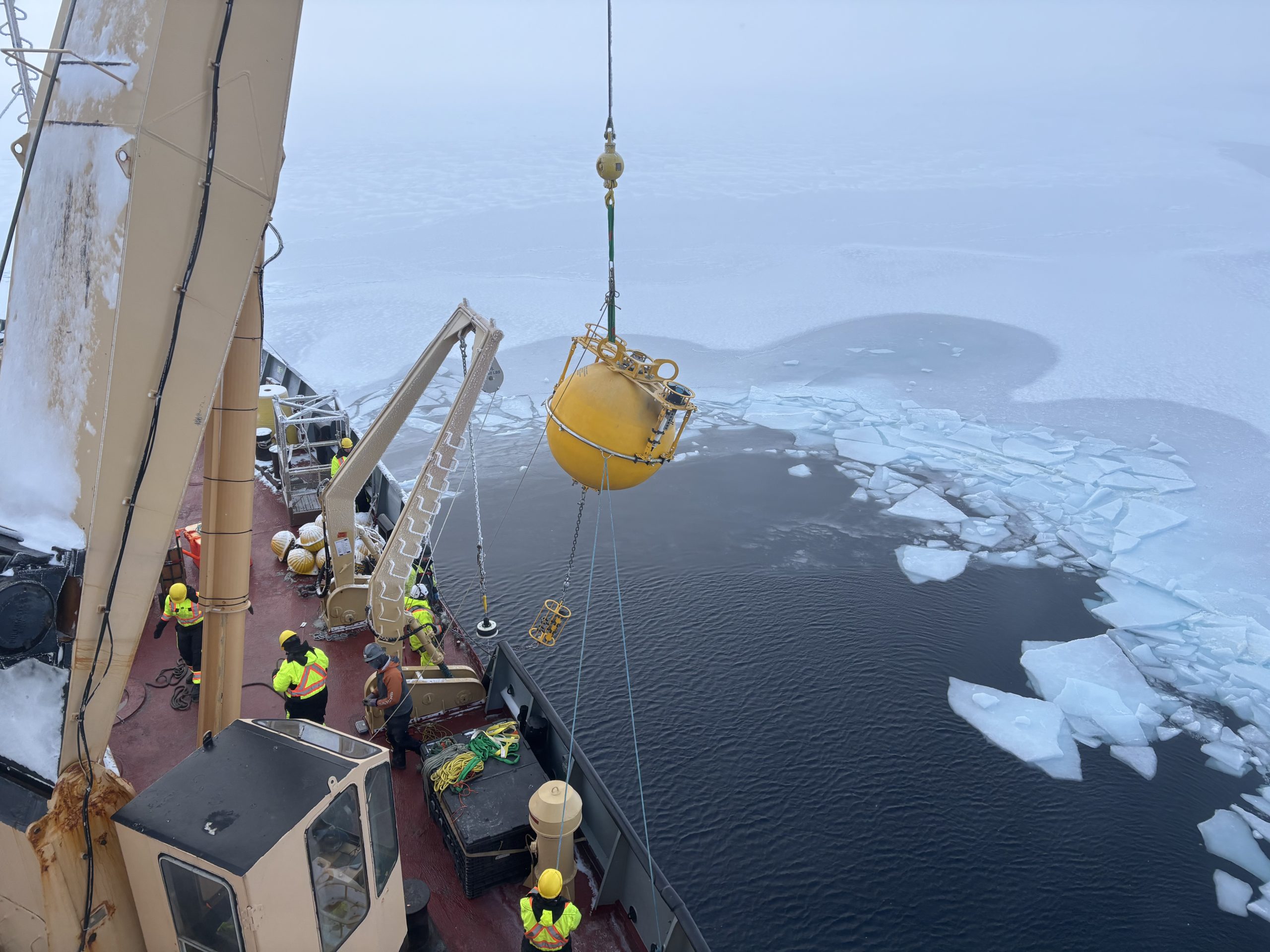
After a quick 24-hour turnaround, Mooring B has officially been redeployed! Mooring operations started before sunrise, with the WHOI team and deck crew assembling the anchor around 8:30 am. By 9:30 am, WHOI engineer Chris Basque and bosun Ashley were directing the crew to lower Mooring B’s anchor into the ocean, and the deployment was off!
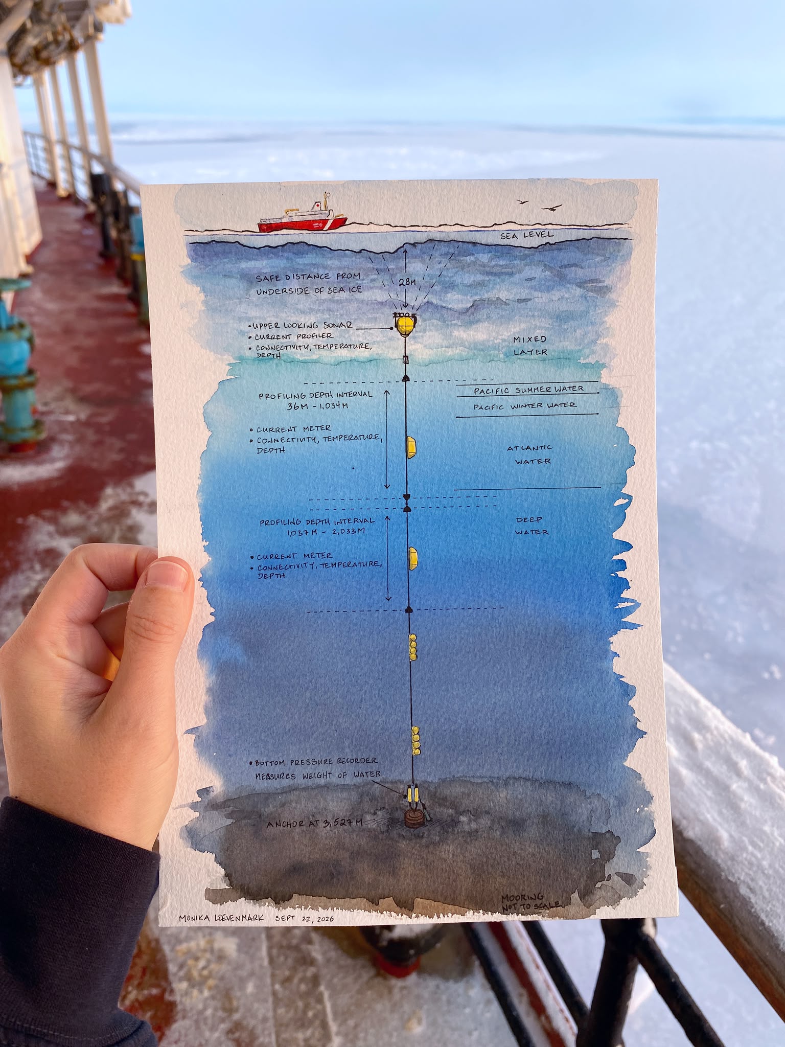
We attached several sets of glass balls, which provide the mooring with additional buoyancy. Next came the long process of unreeling thousands of meters worth of mooring wire. Luckily, this gave us plenty of time to enjoy a beautiful sunrise over the icy ocean landscape. Around 11:45 am, we attached the first of two McClane Moored Profilers (MMPs) that were deployed on Mooring B. These profilers climb up and down the mooring wire, returning depth profiles of temperature, salinity, and current velocity from 35 to 2000 m deep. Last night, I reviewed the 2025-2026 MMP data that we recovered from Mooring B yesterday, and I am thrilled to report that these profilers recorded a rich array of water column features! I am super excited to see what these instruments record for us this coming year! Around 2:10 pm, Captain Duffett had us perfectly positioned in the drop location, and we released Mooring B from the ship. A huge thank you to the deck crew for once again braving subzero temperatures to make Mooring B’s deployment such a success!
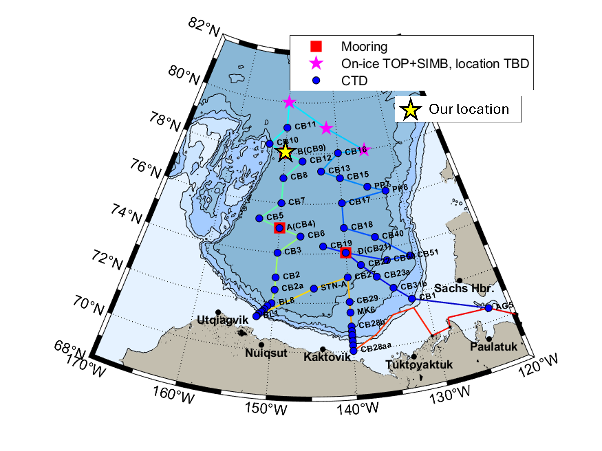
This evening, we plan to steam towards CB-12, where the night watch will complete another 3800 m CTD-rosette cast. The night watch endured a wind chill down to -30◦C last night, so we are keeping our fingers crossed for slightly warmer weather!