Dispatch 9: A windy mooring recovery
Jennifer Kosty (Yale University)
September 26, 2026
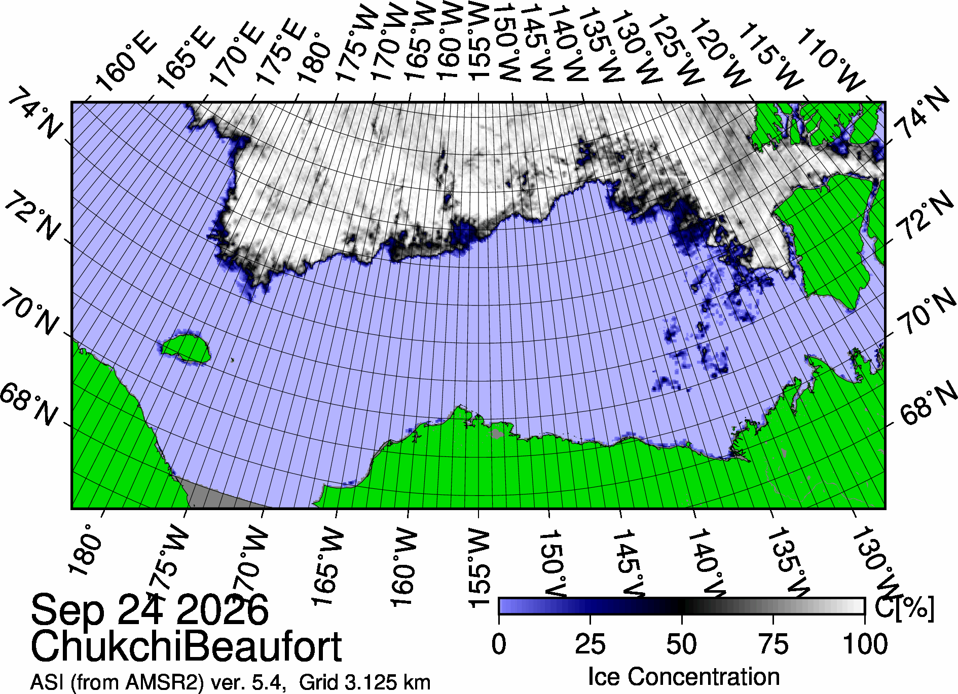
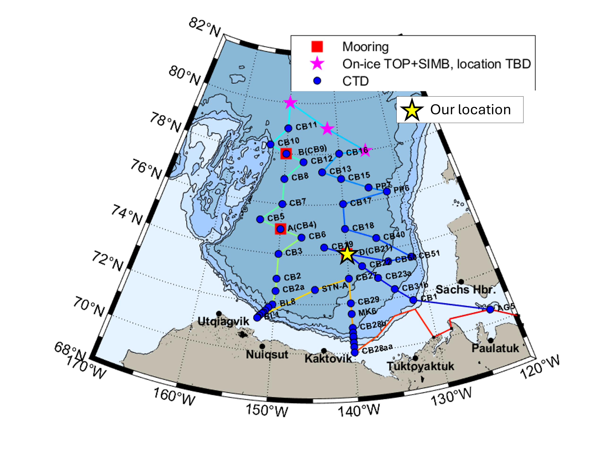
15:50 local, 74.00◦N, 140.10◦W
Conditions:
- Windy, low visibility
- 0% sea ice cover
- -1.7◦C
- Sunrise: 08:19 PDT (local)
- Sunset: 20:01 PDT (local)
- Day length: 11 hours, 42 minutes
Today, we recovered Mooring D, the first of three full-depth moorings that we will recover and redeploy on this cruise. These moorings are positioned across the Canada Basin and provide us with year-round measurements of temperature, salinity, currents, sea ice draft, and bottom pressure. The sea ice cover prevents us from retrieving the mooring data remotely, so each year we must recover the moorings, download their data, and then redeploy. Mooring D was last deployed exactly one year ago on September 26, 2025. It’s exciting to be back here and see the data it collected for us this past year!
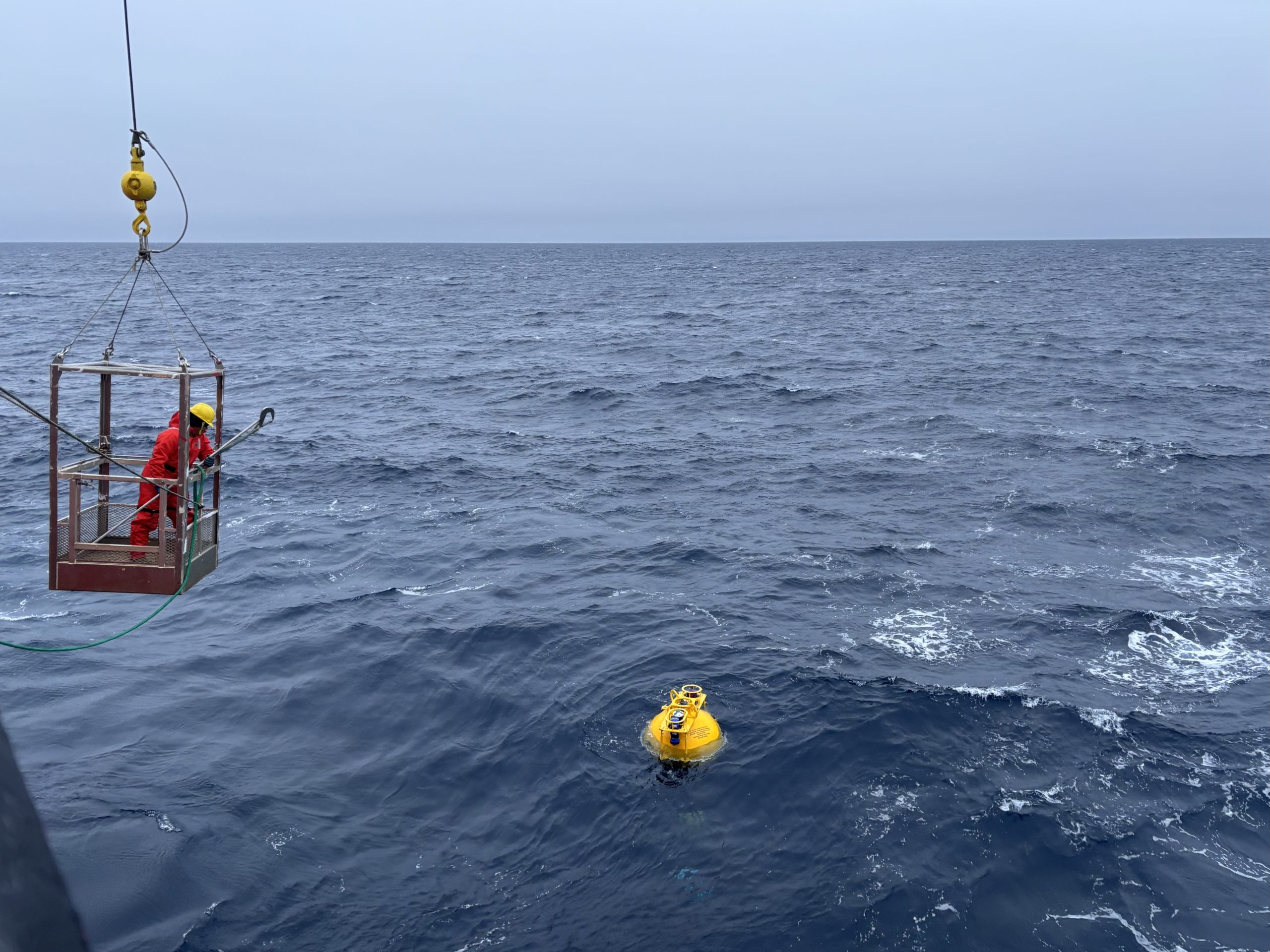
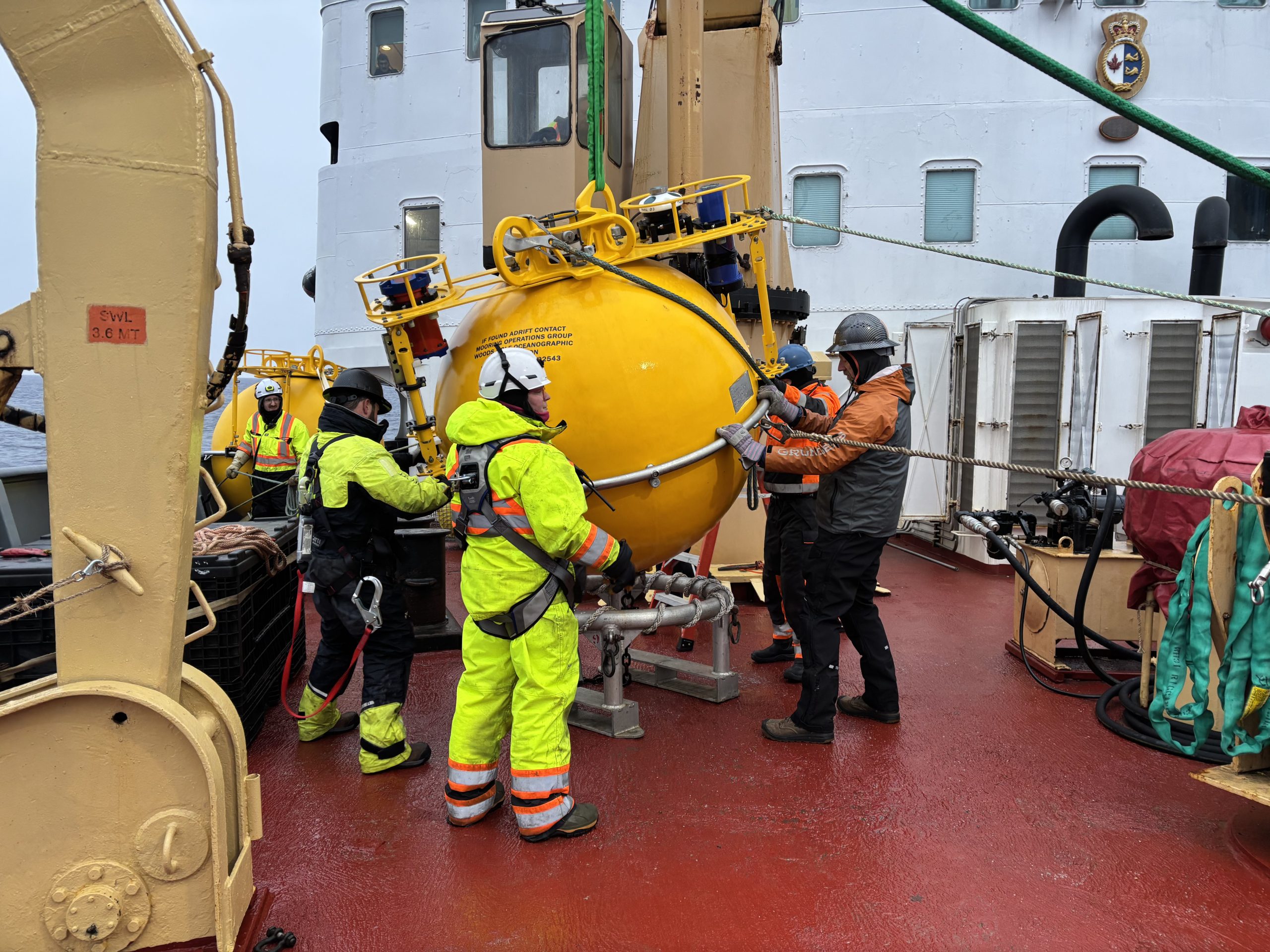
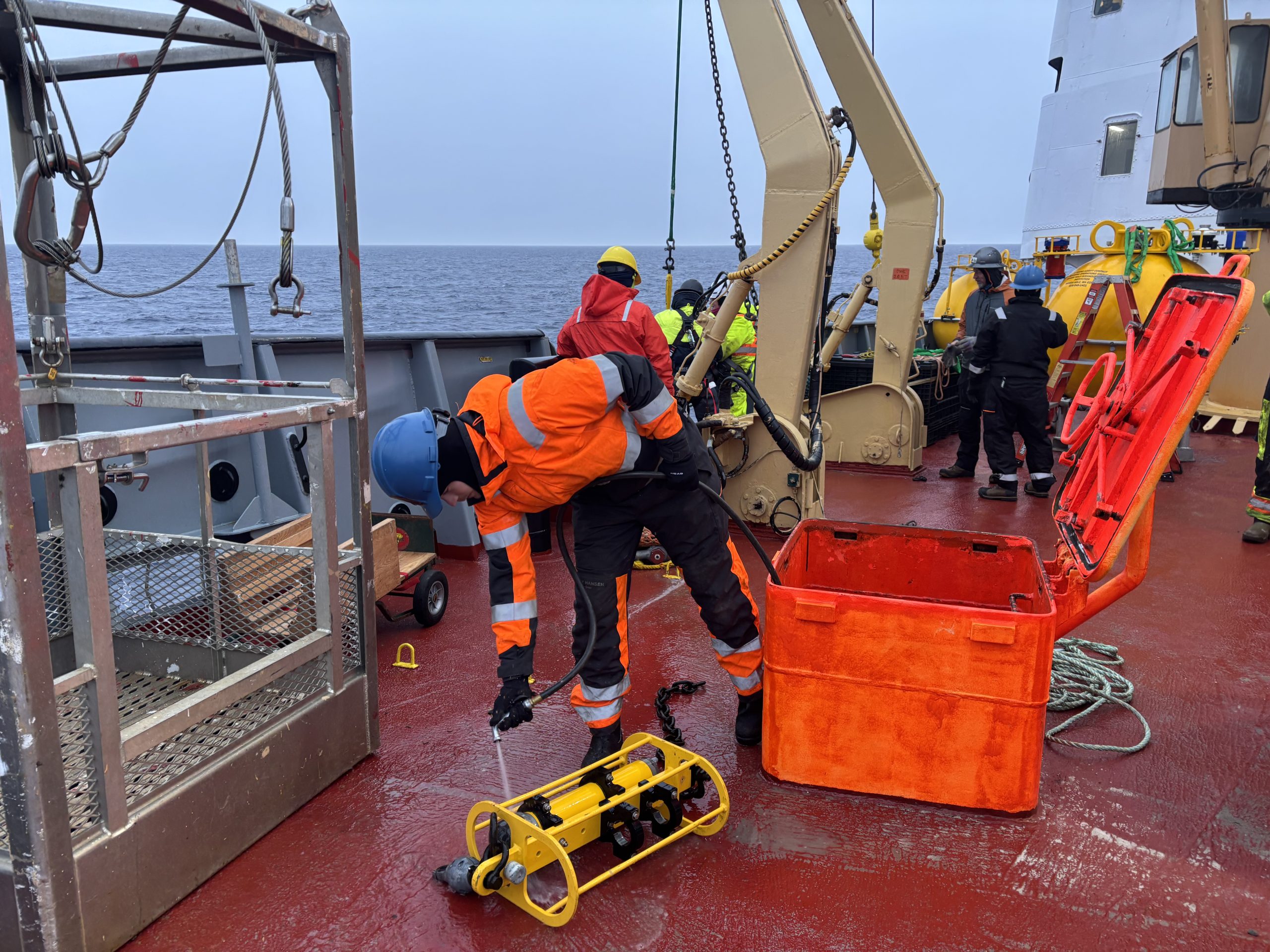
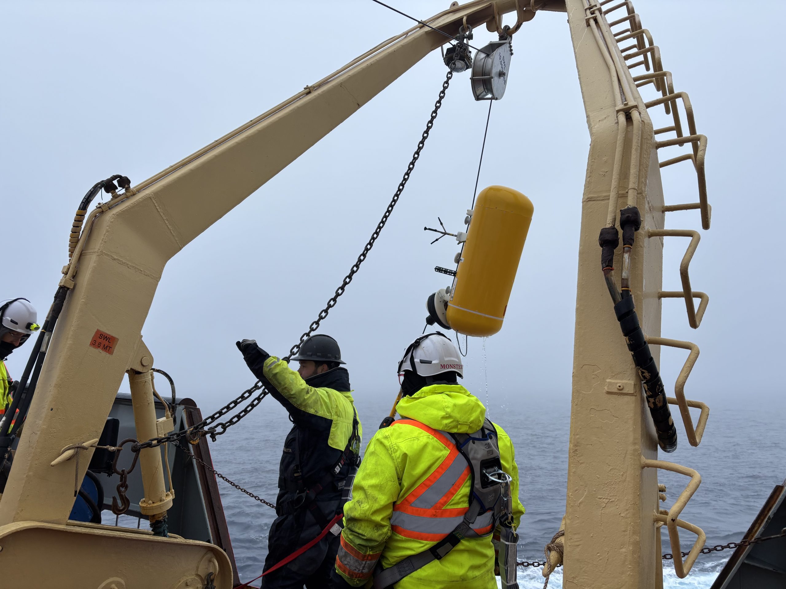
The recovery process went smooth overall, despite facing high winds (up to 25 knots) and large waves. Around 6 am, Jeff O’Brien, Tim McDonough, Chris Basque, Eric Hutt, and I met in the forward lab to identify Mooring D’s precise location using the acoustic releases attached to its anchor. After breakfast, Jeff O’Brien sent the release command, and we began searching for Mooring D’s bright yellow top sphere as it surfaced. After spotting it, deckhand Chesley was lowered in the man basket to hook Mooring D into the foredeck winch. We then began the 6-hour long process of reeling in approximately 3500 m of mooring wire, pausing every so often to remove Mooring D’s instruments as they surfaced. The deck operations were wrapped up by 3 pm, and everyone returned inside to warm up with a nice cup of coffee/tea.
After a hearty dinner of prime rib steak, twice-baked potatoes, and beer-battered shrimp (with crème brûlée for dessert!), the WHOI team and I spent the evening downloading the data from Mooring D’s instruments and preparing to redeploy tomorrow!