Dispatch 20: Heading south
Jennifer Kosty (Yale University)
October 7, 2026
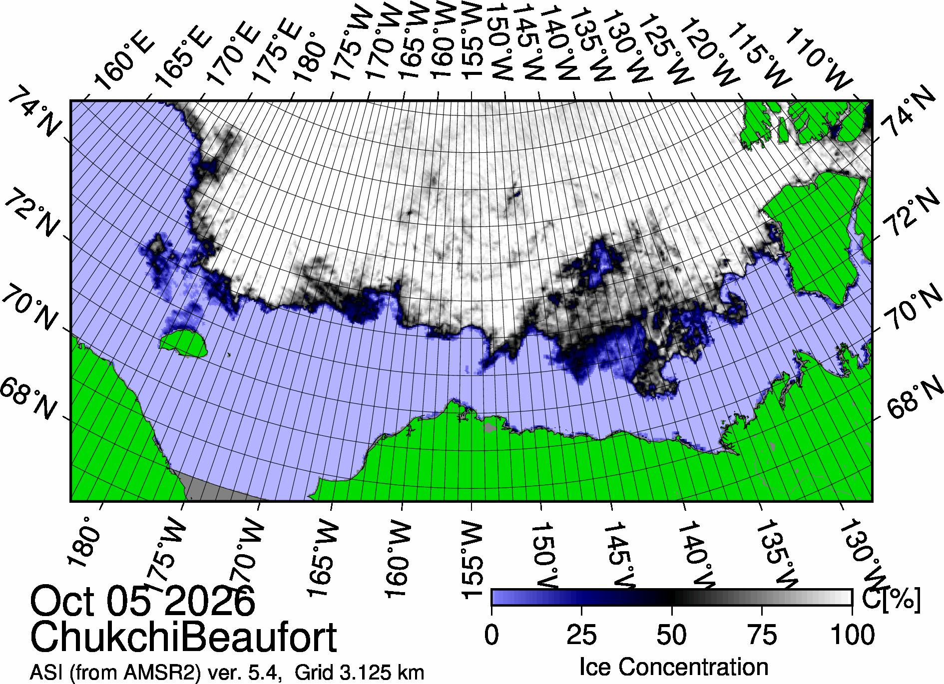
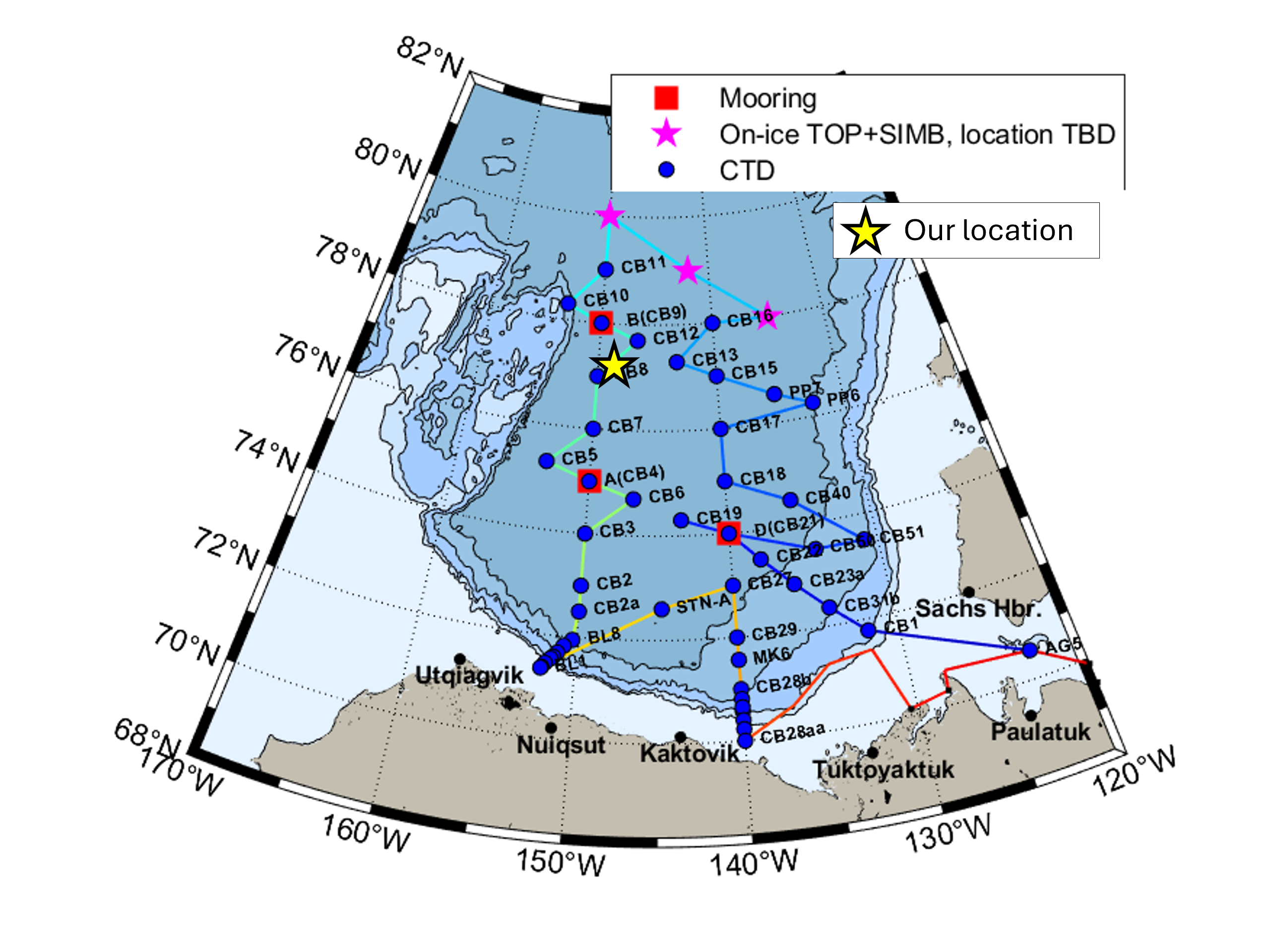
12:30 local, 77.05◦N,149.25◦W
Conditions:
- 100% sea ice cover
- -12.1◦C
- Sunrise: 10:11 PDT (local)
- Sunset: 19:15 PDT (local)
- Day length: 9 hours, 4 minutes
We are currently steaming southward along the 150◦W longitude line towards our third and final big mooring station (Mooring A), which we plan to tackle later this week. In the meantime, the watches will remain busy completing several CTD-rosette casts before our arrival at Mooring A on Friday.
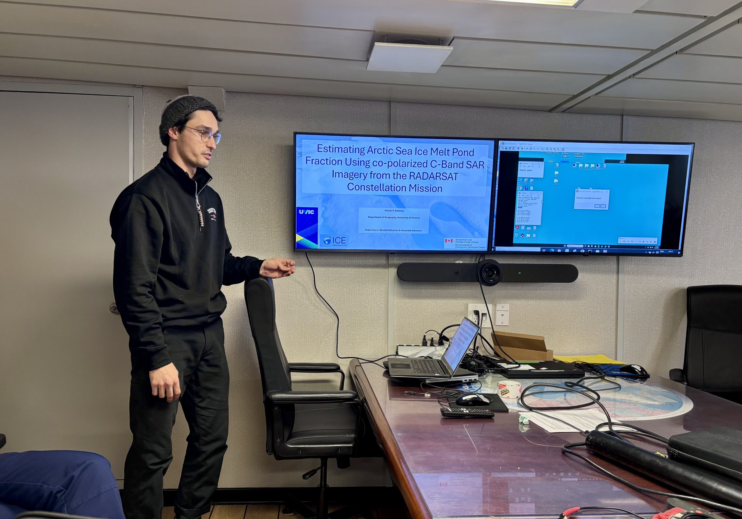
Early this morning, the night watch completed a 3800 m cast at CB12 in the pitch black. Around 11 am, we met in the board room for our daily science meeting. The meeting started as usual, with our ice specialist Roxane sharing the weather and wave forecast. Co-chief scientist Paul Macoun then laid out the plan for science operations over the next few days. Lastly, watch stander Kalem Delaney gave a brief presentation on his master’s thesis work, which is focused on using SAR imagery to estimate melt pond fractionation. Melt ponds are pools of fresh meltwater that form on the sea ice, reducing its reflectiveness or albedo. Kalum explained how he is developing a methodology to use SAR imagery (as opposed to optical satellite imagery) to model the fraction of melt ponds in a given area. Despite thundering sounds of crunching sea ice, a few unknown ship alarms, and several loudspeaker announcements, Kalum powered through to give an all-around excellent presentation! Afterwards, we went down to the mess to enjoy a lunch of Atlantic salmon, French onion soup, and grilled cheese sandwiches.
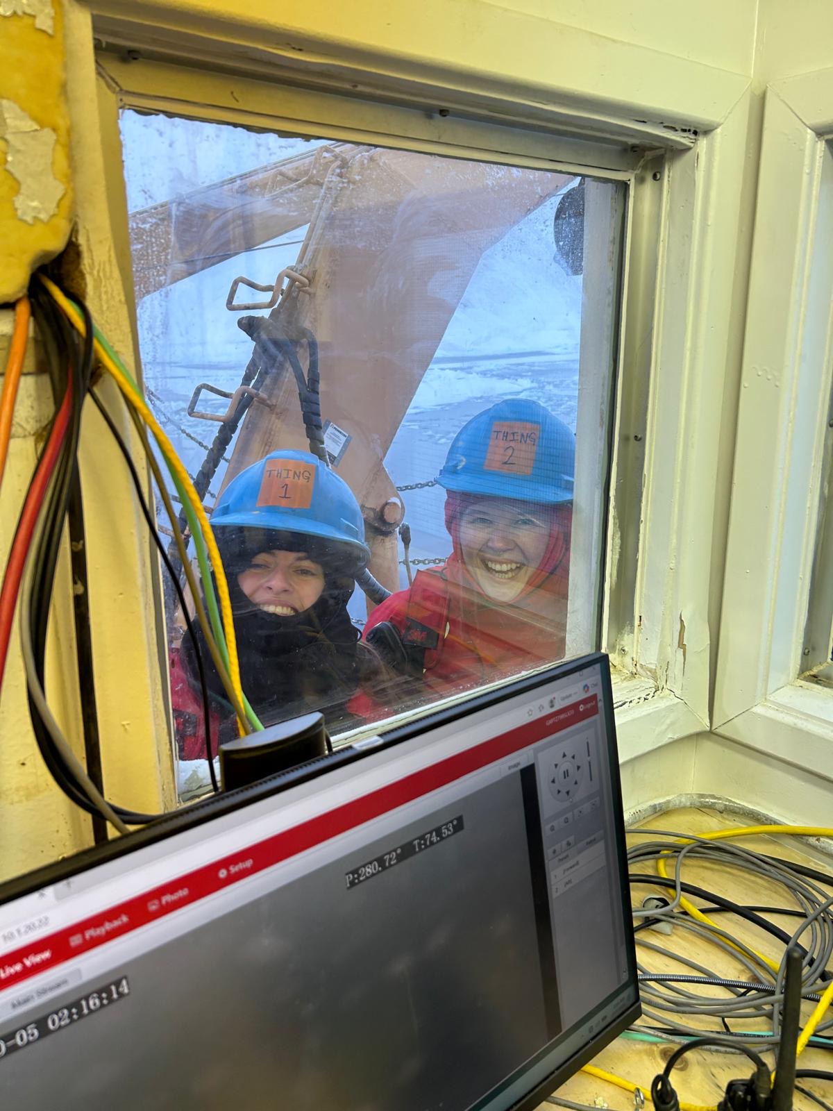
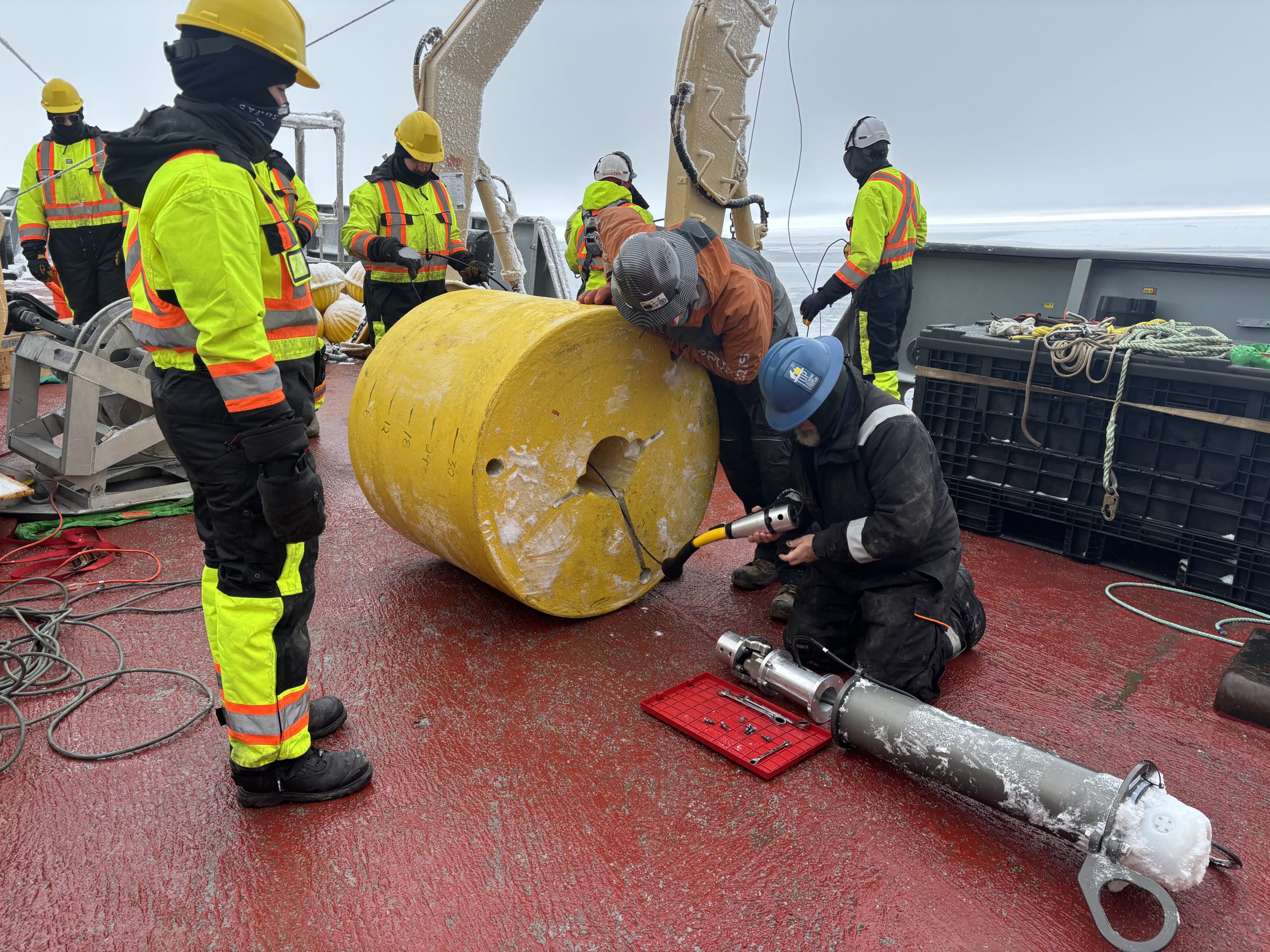
This afternoon, the WHOI team will deploy their 4th tethered ocean profiler (TOP). Unlike the previous 3 deployments, which were completed on the sea ice, today’s deployment will take place from the Louis’s foredeck. The deployment procedure remains largely the same, except the float will be left in a lead, or area of open water, in the ice pack. We look forward to seeing the data that these buoys collect soon!