Dispatch 10: See you next year, Mooring D!
Jennifer Kosty (Yale University)
September 27, 2026
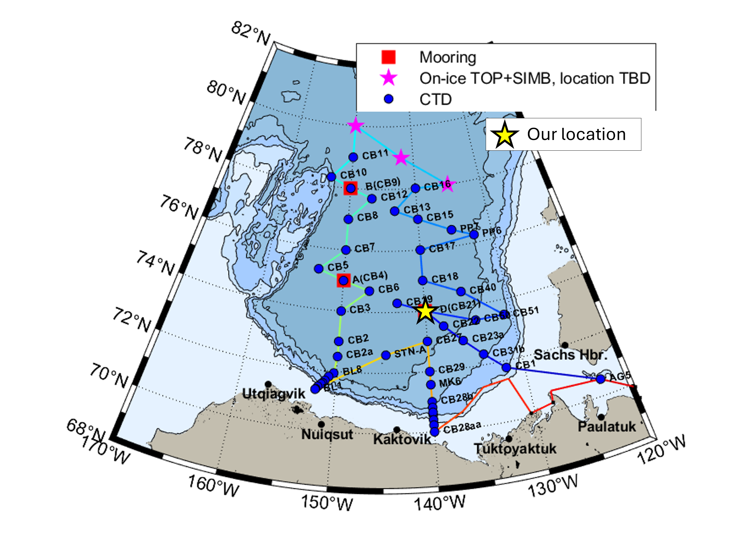
16:00 local, 74.00◦N, 140.02◦W
Conditions:
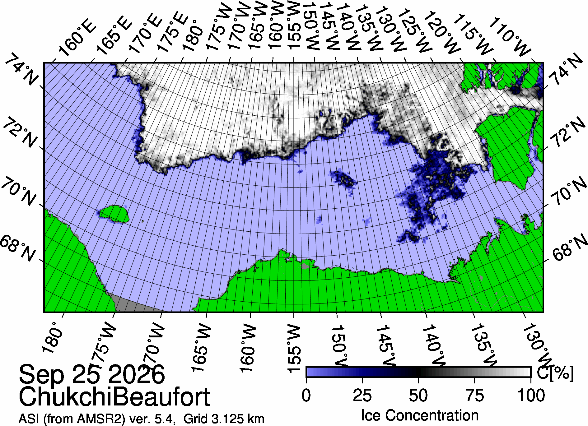
- 0% sea ice cover
- -3.3◦C
- Sunrise: 08:24 PDT (local)
- Sunset: 19:55 PDT (local)
- Day length: 11 hours, 31 minutes
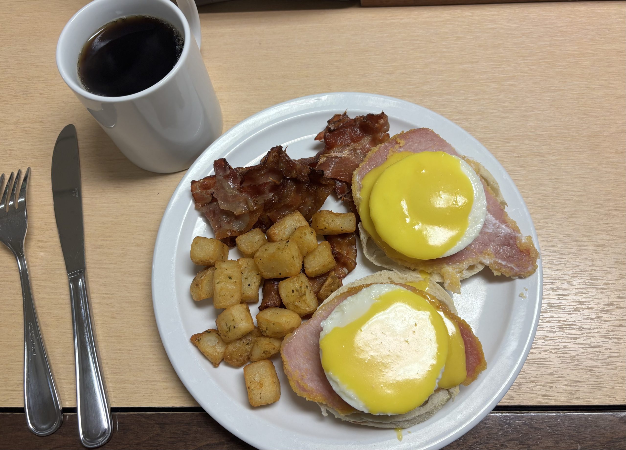
We have successfully redeployed Mooring D! The day started strong as we were treated to Eggs Benedict and banana bread at breakfast. We have officially reached the highly anticipated banana bread stage of the cruise now that our remaining banana stock has started to brown. We look forward to many more banana-flavored sweet treats over the next few days 😊.
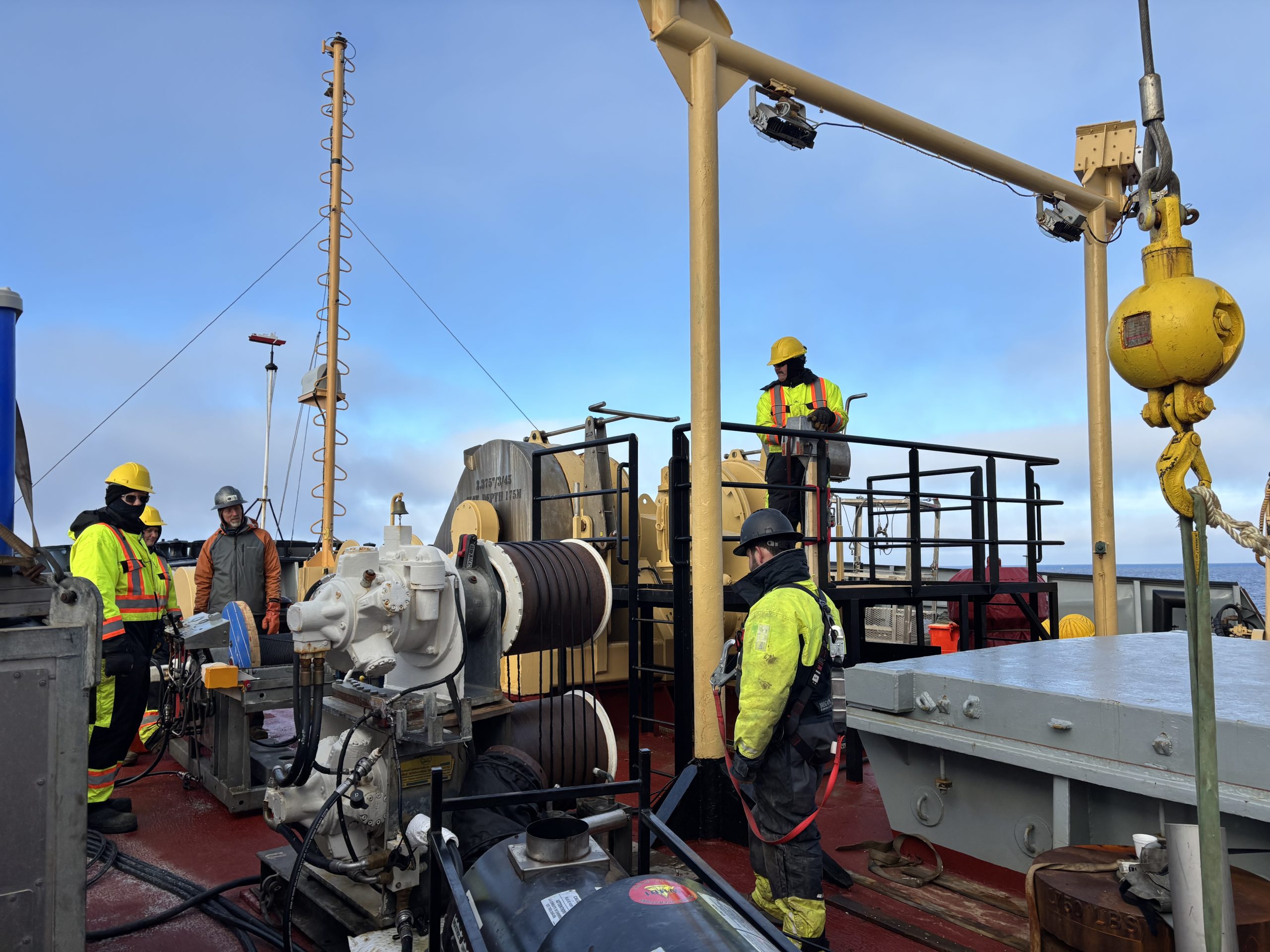
After breakfast, the WHOI team and deck crew headed out to the foredeck to assemble Mooring D’s anchor. By 9 am, the anchor was being lowered into the water and the deployment was off!
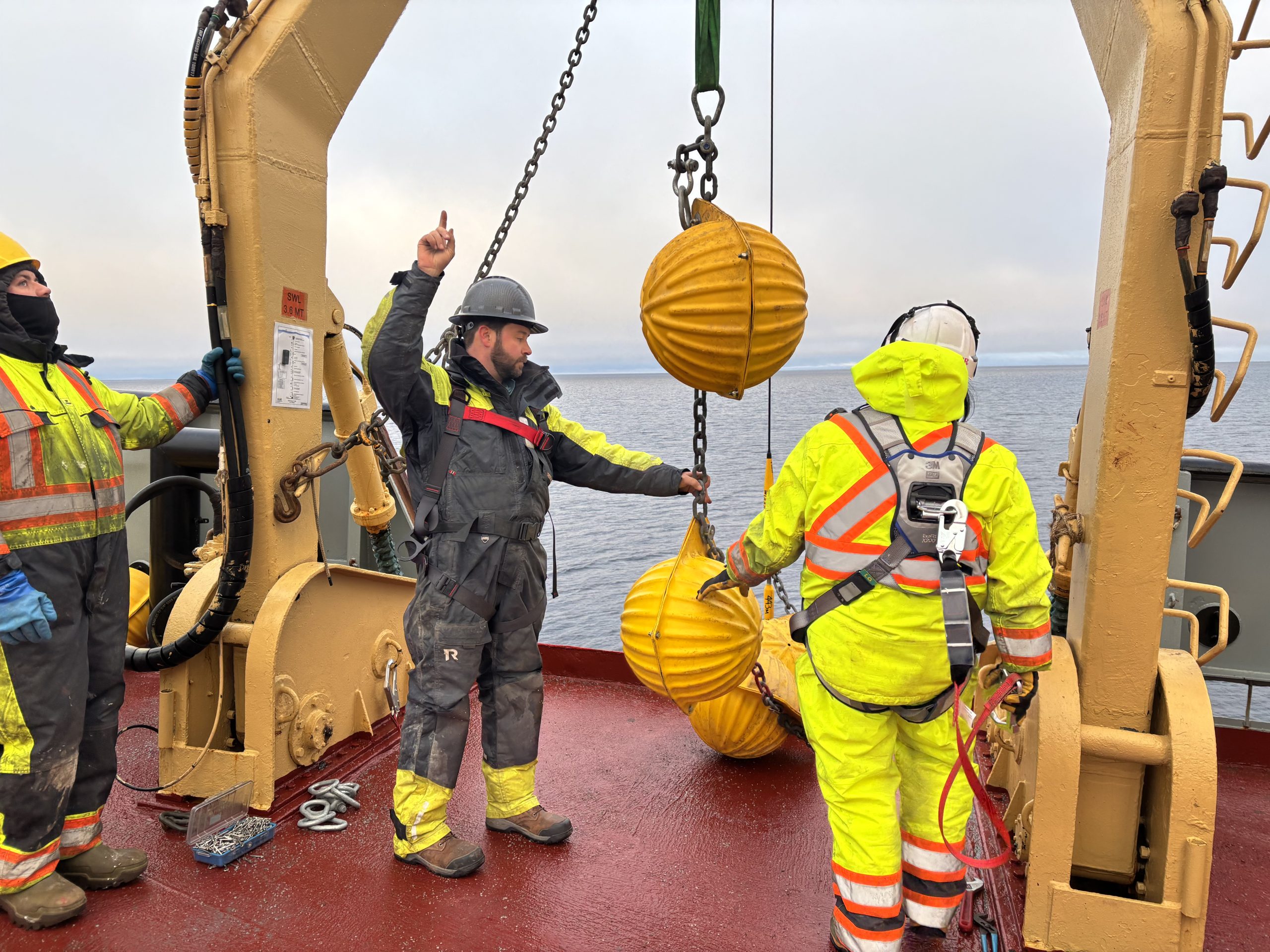
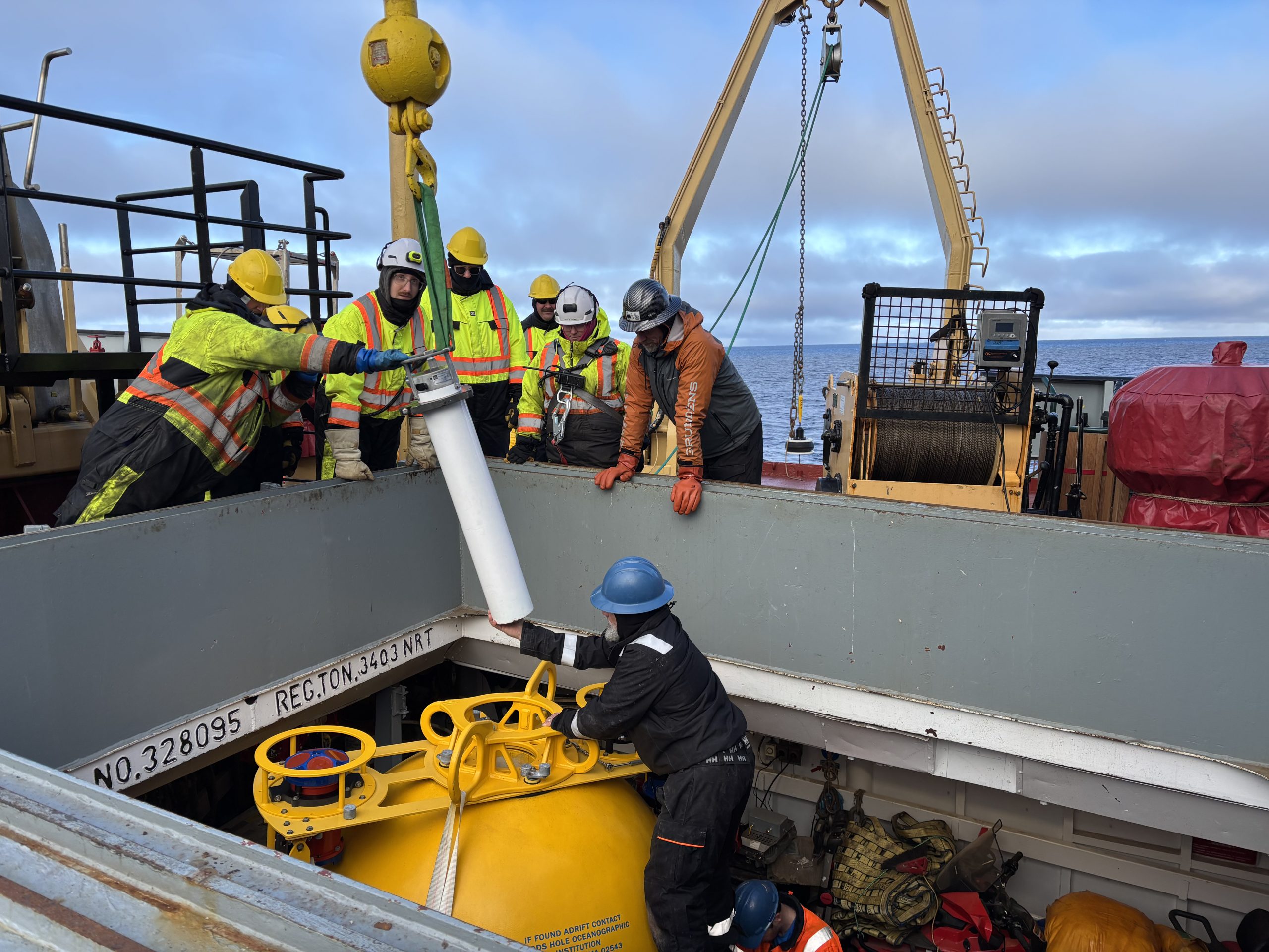
The lower half of Mooring D consists mainly of wire and glass balls (which provide additional buoyancy); most of our instruments are in its upper half. These include 2 McClane Moored Profilers (MMPs) which climb up and down the mooring wire, returning depth profiles of temperature, salinity, and ocean currents from ~50 to 2000 m deep. Mooring D’s top sphere is also outfitted with several instruments, including an upward looking sonar (ULS) which measures sea ice draft and an acoustic doppler current profiler (ADCP) which measures ocean currents.
After nearly 6 hours of unreeling mooring wire and attaching instruments, we finally reached the end of the deployment process around 3 pm. Captain Duffett then gave the “all clear” and Mooring D was officially released! Huge thanks to the ship’s crew for making this mooring deployment such a success!
We are currently steaming northward, with the hopes of arriving at CB18 later this evening. We are excited to return to the sea ice after spending several days rocking in open water!