Dispatch 27: (Organized) chaos on the BL-line
Jennifer Kosty (Yale University)
October 14, 2026
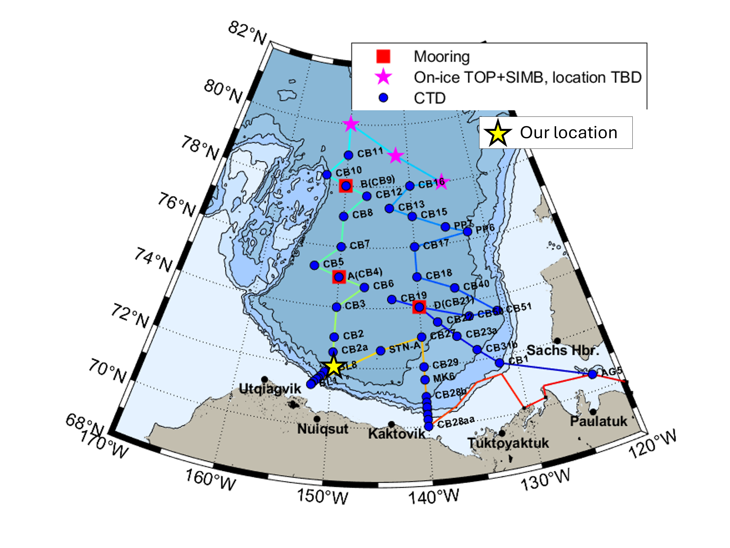
12:30 local, 71.55◦N, 150.19◦W
Conditions:
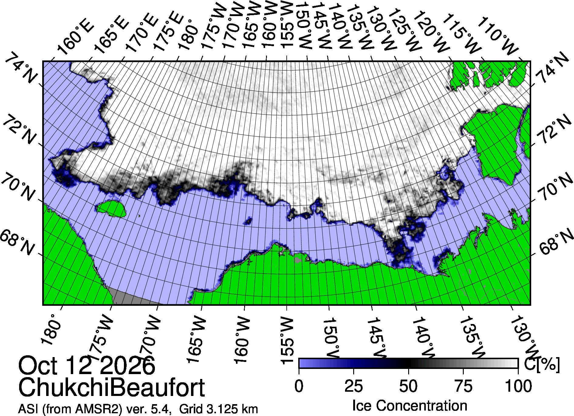
- 40% sea ice cover
- -11◦C
- Sunrise: 10:10 PDT (local)
- Sunset: 19:23 PDT (local)
- Day length: 9 hours, 13 minutes
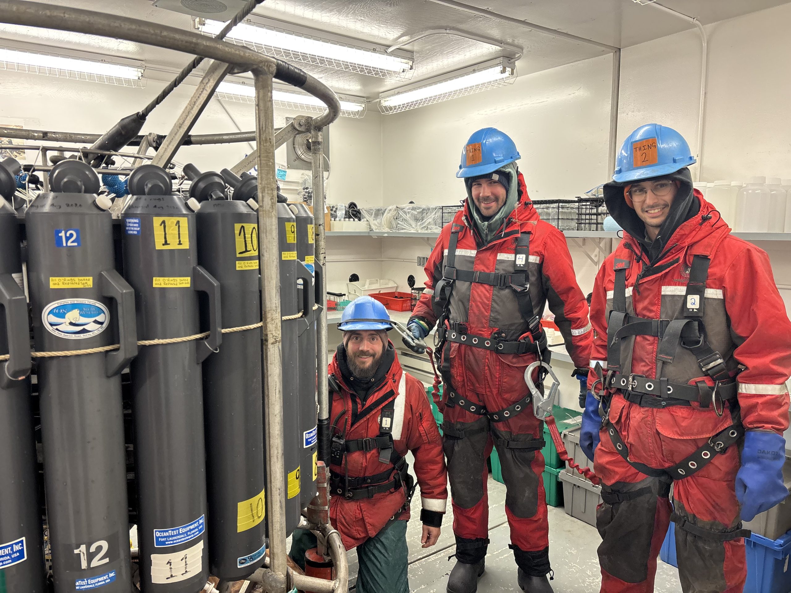
We have completed the BL-line! The BL-line (named after the Alaskan city of Utqiagvik, formerly known as Barrow) consists of 8 back-to-back CTD rosette casts that get progressively shallower as we travel up the continental slope. The BL-line is infamous for being one of the busiest, most hectic times of the cruise for our CTD watches and onboard analysts.
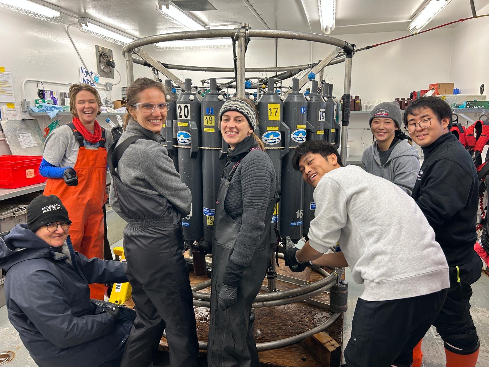
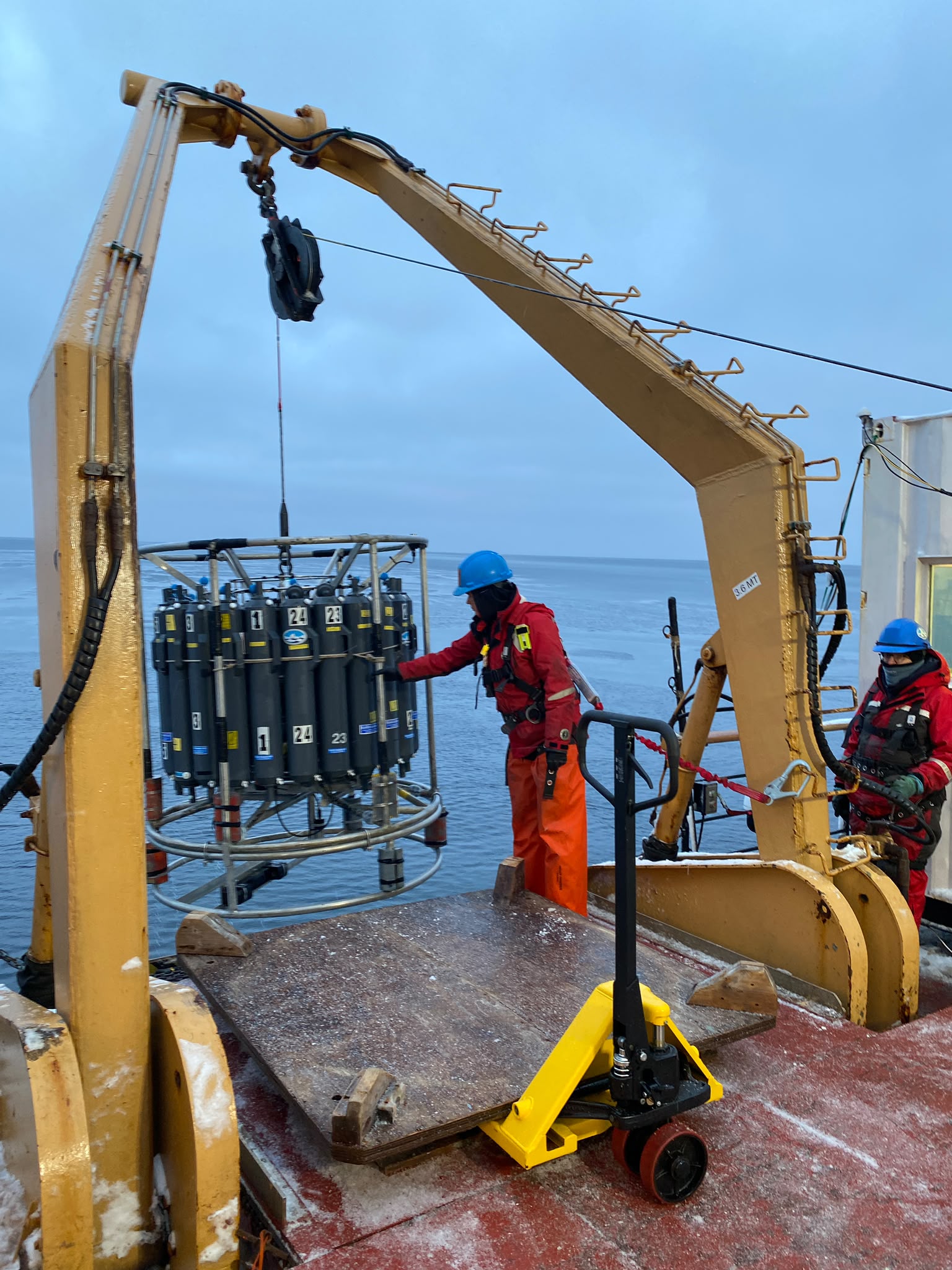
We arrived at BL8 around midnight on October 13, ready to tackle the challenge ahead. The rosette was deployed as usual, but the day took an unexpected turn when an error message appeared after CTD operator Collette Leclerc attempted to fire the first Niskin sampling bottle. The night watch brought the rosette back on deck and Chris Clarke began investigating the issue. After several rounds of troubleshooting, Chris determined that the issue stemmed from the rosette pylon, which is the mechanism that closes the Niskin sampling bottles. The pylon was replaced with a spare, and we were back in business for our second attempt at the BL-line.
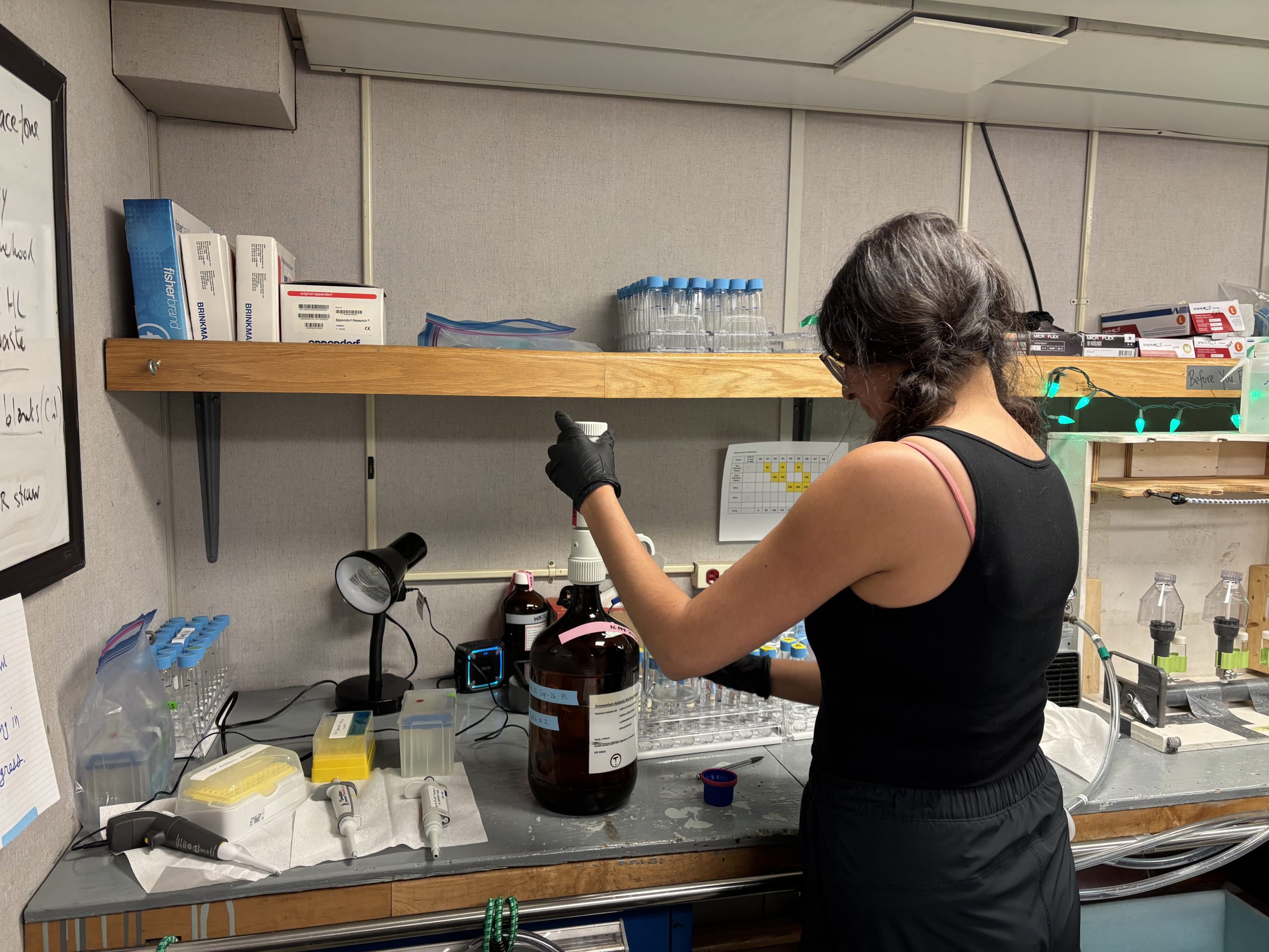
During the troubleshooting process, we steamed from BL8 (the deepest station) to BL1 (the shallowest station), so we ended up tackling the BL-line in reverse. The night watch deployed the rosette at BL1 around 11:30 am on October 13. This cast was only 70 m deep, so the rosette was back on board 12 minutes later! The day watch then took over and completed BL2 to BL5 over the course of their 12-hour shift. The night watch wrapped up the BL-line around noon today (on October 14) after another 12 hours of near-continuous rosette work. The rest of today will be busy as our onboard analysts work to process the hundreds of samples that were collected over the past 24 hours!