Dispatch 14: Tools of the (ice) trade
Jonathan Delisle
September 20, 2020
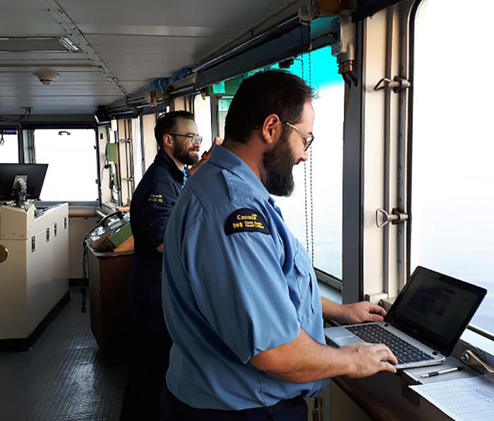
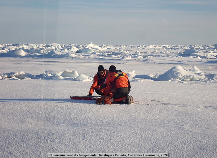
Hello! This summer, my colleague Alexandre and I are the two lucky ice service specialists on duty during the 2020 JOIS mission. Ice service specialists are part of the field division of the Canadian Ice Service. Our main duties on Canadian Coast Guard ships are to collect interpret and distribute ice and weather information. By collecting data on ice in the field, we help improving the accuracy of the daily ice charts produced by our analysts in Ottawa. By interpreting and distributing ice and weather information on the ship, we do our best to assist the Captain and navigation officers in their decision making process. Throughout the JOIS mission, we use satellite images and a variety of weather products to monitor the changing ice conditions around the numerous mooring, CTD/Rosette and IBO deployment sites.
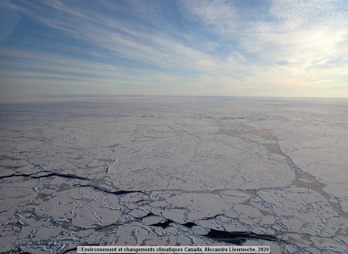
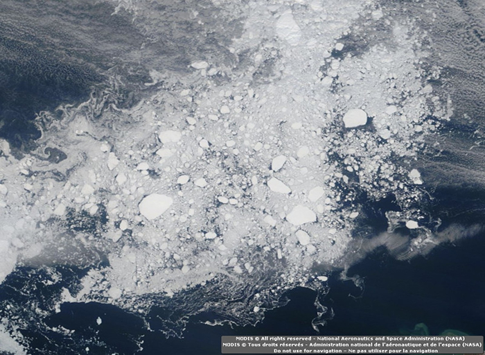
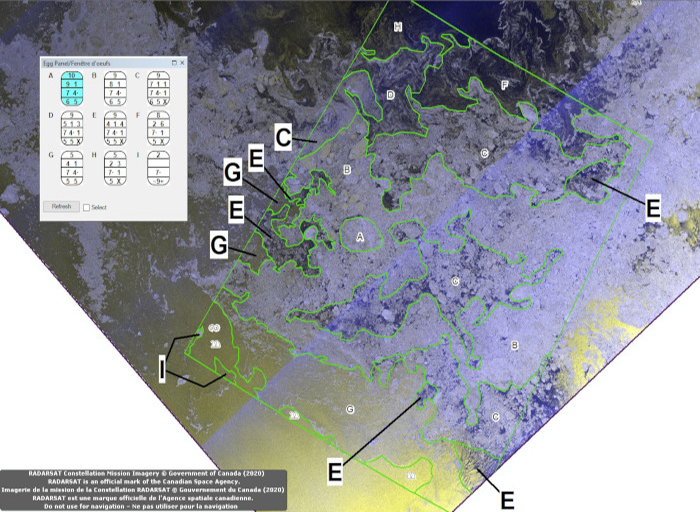
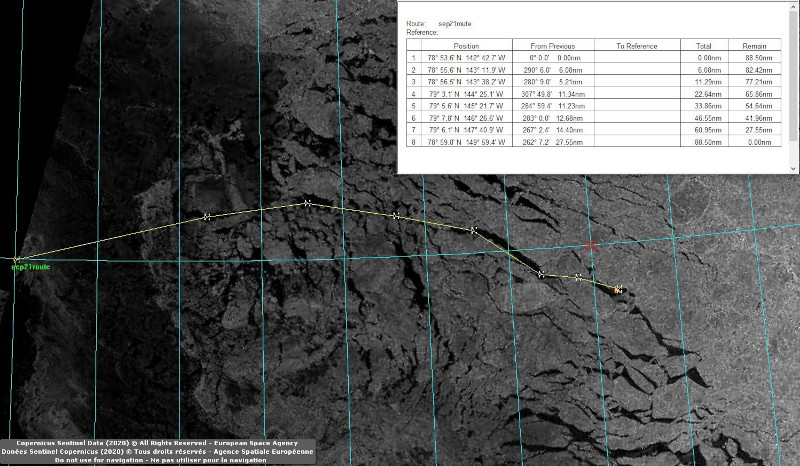
Travelling in ice covered waters, even on Canada’s most capable icebreaker, is not a small task. To minimize the wear and tear, reduce fuel consumption, and to preserve the comfort of the crew, the preferred option is to sail through the area with the most favorable ice conditions. To do this we use satellite images, visual clues, ice charts, observations from other ships, and sometimes helicopter flights! Satellite images are particularly interesting because of their unique perspective and ability to capture the dynamic nature of the ice. On the ship, we receive new satellite imagery twice a day. We obtain our satellite images from three sources: Radarsat Constellation, Sentinel, and Modis. These Earth observation satellites provide us with a nearly complete daily coverage of the Canadian arctic. We use the satellite images to characterize the arctic into zones according to the type and concentration of ice that they contain. Yes, there are indeed multiple types of ice in the arctic and each type poses unique challenges to navigation. Our analysts in Ottawa are experts at recognizing the distinctive signature of the different ice types. They use their interpretation of satellite images and a computer model to produce ice charts for all the ships transiting through Canadian waters.
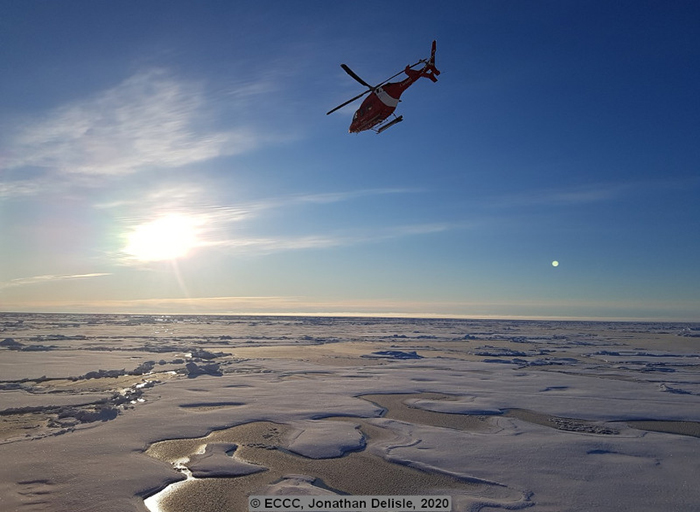
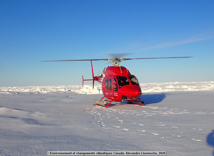
For ice service specialists in the field, satellite images are an amazing resource! During the JOIS mission, we are utilizing satellite images to produce specific route when the ship is navigating in heavy ice. We also have to keep in mind the currents and weather systems to estimate how far and in what direction the ice will drift from one day to the next. When we first entered the Beaufort Sea, JOIS’s Chief scientist asked us to identify areas of the northern arctic containing a specific type of ice for the deployment of their ITPs. We had fun playing detectives and studying the shape and the signature of the ice floes on the satellite images to try to fulfill her request. Once we pinpointed suitable ice floes, we tracked their movement. Alexandre even went on a helicopter flight with two scientists to investigate some promising areas ahead of the ship! We next worked on recognizing leads in the icepack to reach the ice floes as quickly and as safely as possible.
One of the best parts our job is that we are working in an environment that changes every day. Ice is melting, forming, drifting around, and we get to be witness to it all!
