ITP 6 Overview
Deployment Location: 9/4/2006, 10:00 UTC at 77° 53.6’ N, 140° 25.2’ W
Last Location: 10/11/2009, 23:13 UTC at 84° 2.7’ N, 58° 55.3’ W
Duration: 1133 days
Distance Traveled: 7202 km
Number of profiles: 1335 in 844 days
Other instruments: IMB 2006-C, AOFB 10
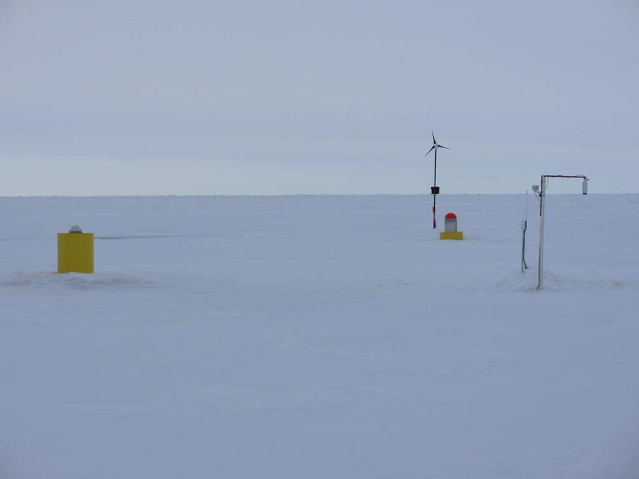
ITP 6 was deployed on a 3.1 m thick ice floe in the Beaufort Sea as part of the Beaufort Gyre Observing System (BGOS) during the JWACS 2006 cruise on the CCGS Louis S. St. Laurent. On the same ice floe, a US Army Cold Regions Research and Engineering Laboratory (CRREL) Ice Mass Balance Buoy (IMB 2006-C) and a Naval Postgraduate School Arctic Ocean Flux Buoy (AOFB 10) were also installed. The ITP was additionally equipped with a dissolved oxygen sensor (SBE 43-F) and operated on a standard sampling schedule of 2 one-way profiles between 9 and 760 m depth each day. No GPS locations (or satellite data transmissions) were obtained by the ITP from September 13 to November 10, 2007 and from January 22 to September 15, 2008, so hourly averaged Argos locations from the nearby IMB are used for those periods. Also no GPS locations (or satellite transmissions) were obtained from May 23, 2009 to September 23, 2009 (after the profiler ceased operating). Presumably the ITP surface package was buried under sea ice during these periods.
