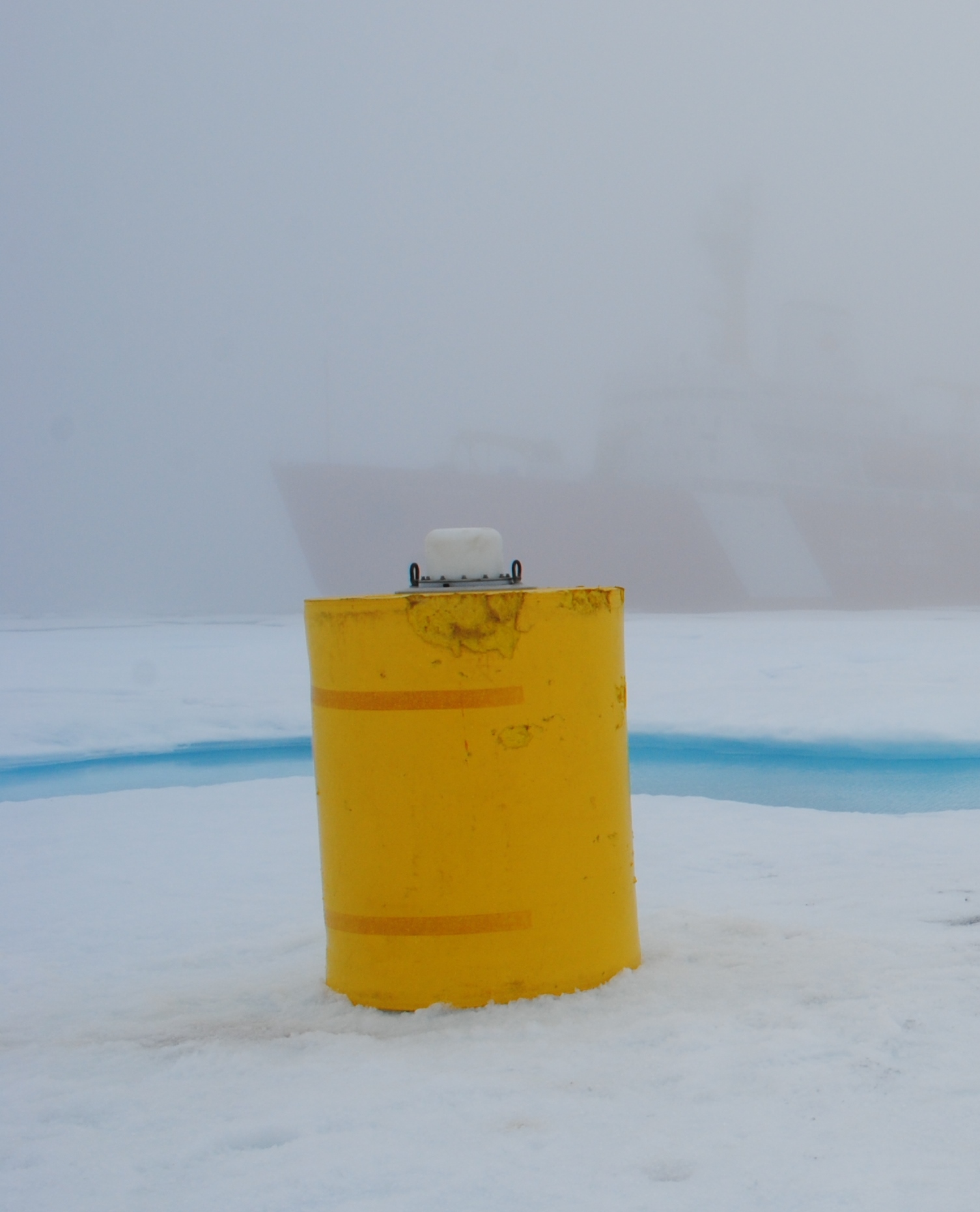
ITP55
Deployment Location: 8/8/2011, 22:00 UTC at 76° 5.1’N, 138° 16.9’W
Last Location: 1/13/2013, 22:00 UTC at 71° 44.3’ N, 177° 50.4’ E
Duration: 524 days
Distance Traveled: 5508 km
Number of profiles: 547 in 274 days
Other instruments: IMB 2011-K, Uptempo
ITP 55 was deployed on a 3.13 m thick ice floe in the Beaufort Sea as part of the Beaufort Gyre Observing System (BGOS) during the JOIS 2011 cruise on the CCGS Louis S. St. Laurent. On the same icefloe, a US Army Cold Regions Research and Engineering Laboratory (CRREL) Seasonal Ice Mass Balance Buoy (IMB 2011-K) and an Uptempo buoy were also installed. The ITP is operating on a typical sampling schedule of 2 one-way profiles between 7 and 760 m depth each day.
