ITP 12 Overview
Deployment Location: 9/14/2007, 15:00 UTC at 86° 37.9’N, 134° 37.8’E
Last Location: 10/19/2009, 14:00 UTC at 63° 22.3’ N, 20° 5.2’ W
Duration: 766 days
Distance Traveled: 13,199 km
Number of profiles: 321 in 106 days
Other instruments: IMB 2007-G, AOFB 14, ITAC, NOAA Webcam
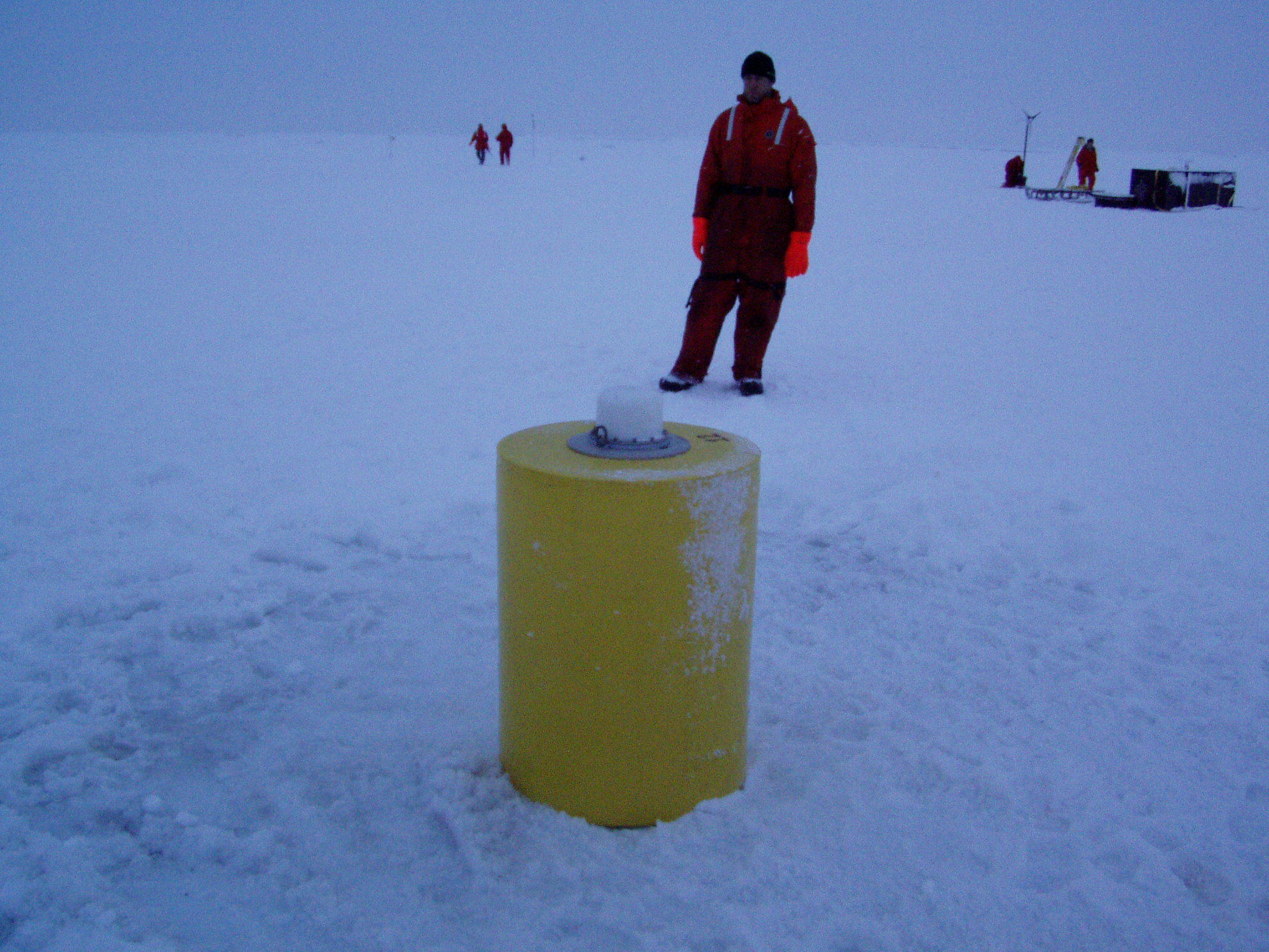
ITP12 was deployed on a 2.2 m thick icefloe in the Transpolar Drift from the German icebreaker "Polarstern" as part of the European Union DAMOCLES Program in 2007. On the same icefloe, a US Army Cold Regions Research and Engineering Laboratory (CRREL) Ice Mass Balance Buoy (IMB 2007-G), a Naval Postgraduate School Arctic Ocean Flux Buoy (AOFB 14), OPTIMARE Ice-Tethered Acoustic Profiler (ITAC), and NOAA webcam were also installed. The ITP operated on a rapid sampling schedule of 3 one-way profiles between 7 and 760 m depth each day until the end of December 2007 when all of the instruments in the “Super Buoy Array” appear to have been swallowed by ice ridging just south of 87° N latitude. The ITP surface package resurfaced in the Denmark Strait between Iceland and Greenland at 66° N eleven months later and continued to send locations as it drifted in the open ocean for another 11 months before ceasing to operate on the south coast of Iceland.
