Data
The ITP program is an international effort with contributions from the European Union program DAMOCLES (Developing Arctic Modeling and Observing Capabilities for Long-term Environmental Studies) and collaborations with the Alfred Wegener Institute for Polar and Marine Research (AWI), Arctic and Antarctic Research Institute (AARI), French Polar Institute (IPEV), Ocean University China, Shirshov Institute of Oceanography, the U.K. ASBO and TEA-COSI programmes, U.S. Office of Naval Research, Yale University and WHOI.
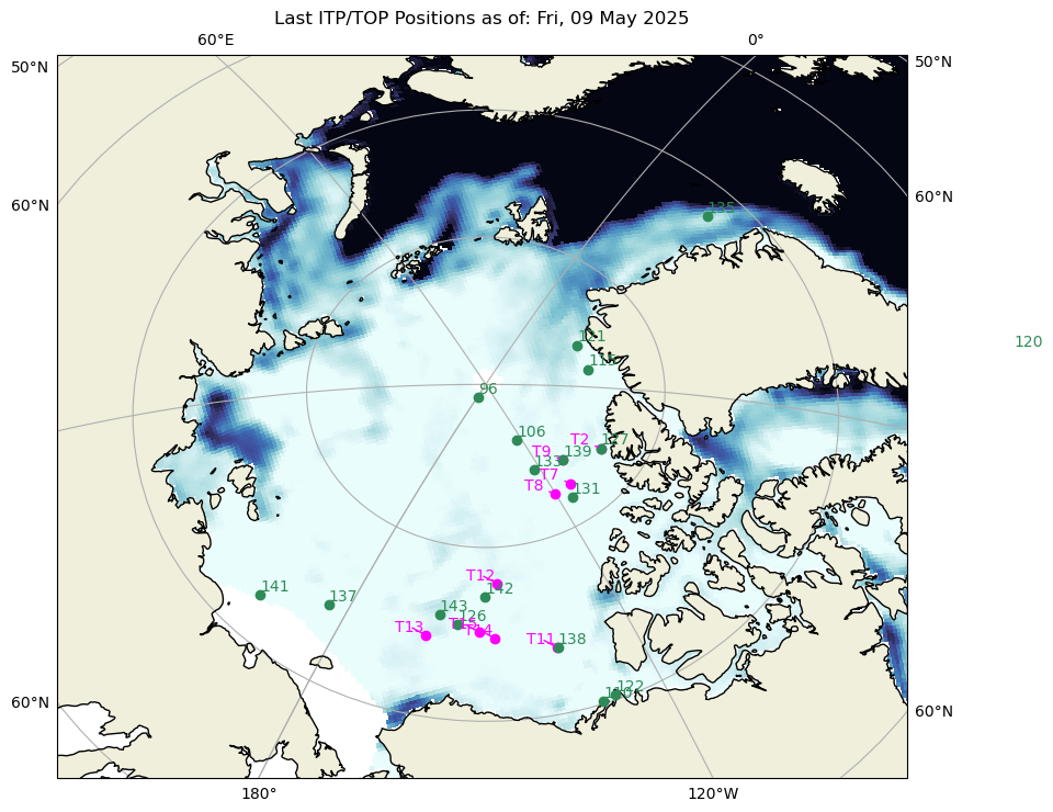
Current positions of active ITPs are shown to the right. Status information for the active systems and summaries of the data acquired from systems that have completed their missions are accessible using the links in the table below or the navigation buttons on the left. For more information see the Data Products page, which includes full documentation of the data processing procedures and file formats, access to the WHOI ITP data repository holding all available data, information on how to cite and acknowledge ITP data, and links to national data archives.
Plots of engineering information and of the preliminary ocean profile data for each of the ITP systems are available here, or via the navigation buttons to the left:
While most ITPs are deployed in the Arctic Basin, some have been adapted for deployment in the Antarctic (-S in itallics) and in lakes (Crater Lake, Oregon -CL and Flathead Lake, Montana -FL in bold). The Ice-Tethered Micro-mooring, or "itm", is based on the ITP technology but includes several fixed instruments on the mooring line instead of a profiling unit. The Ice-Tethered Winch, or "itw", is based on a combination of an ITP surface package with a profiling Arctic Winch. The Tethered Ocean Profiler, or "TOP", is a combination of an ITP surface package with a specially designed profiler to sample the upper 200 m of the water column completely up to the under-ice surface.
