ITP35
ITP35 Overview
Deployment Location: 10/8/2009, 01:00 UTC at 77° 4.5’N, 135° 25.8’W
Recovery Location: 10/2/2010, 20:30 UTC at 79° 7’ N, 155° 1’ W
Duration: 360 days
Distance Traveled: 3635 km
Number of profiles: 1357 in 174 days
Other instruments: IMBB 2009-G, O-Buoy
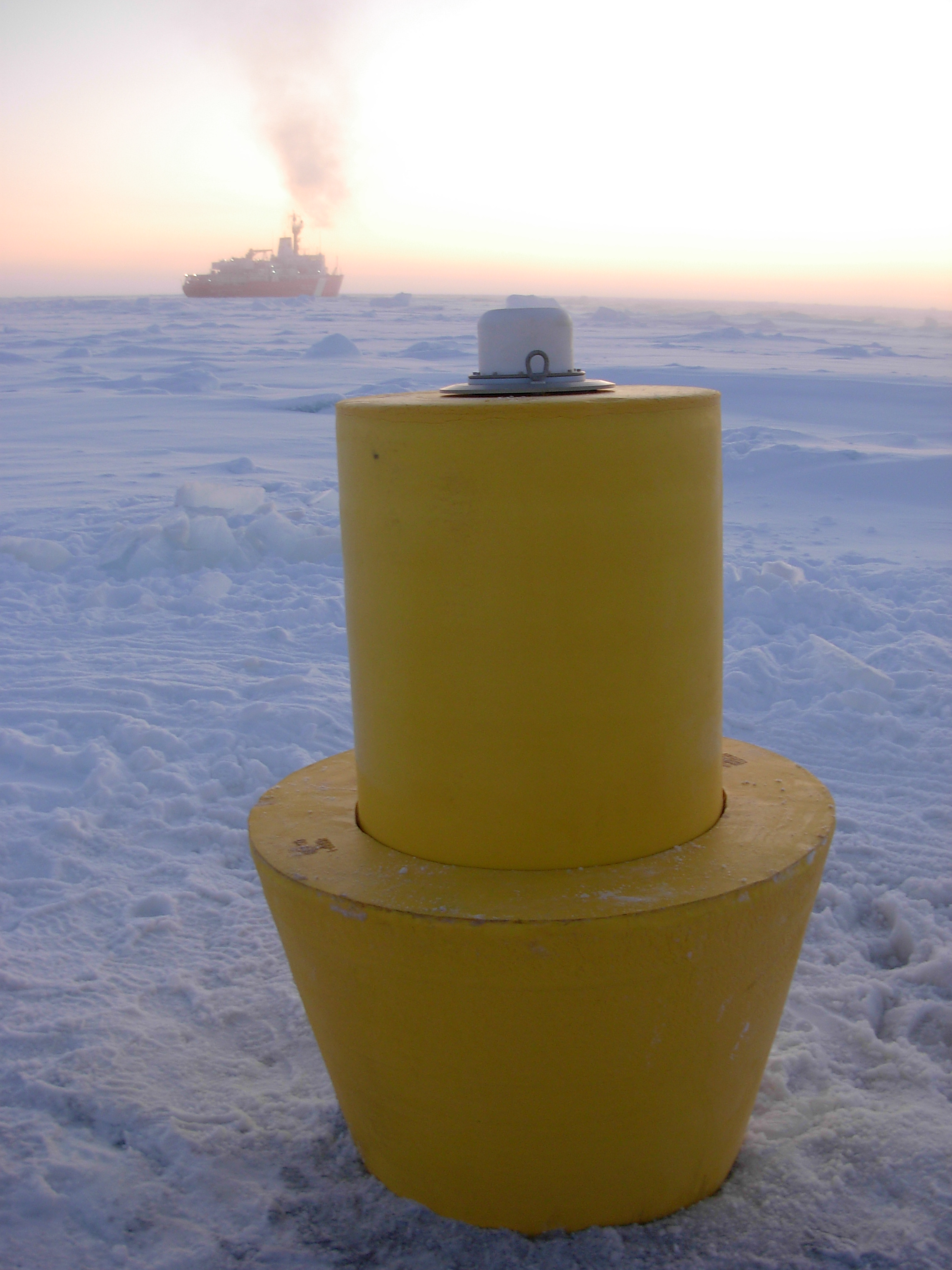
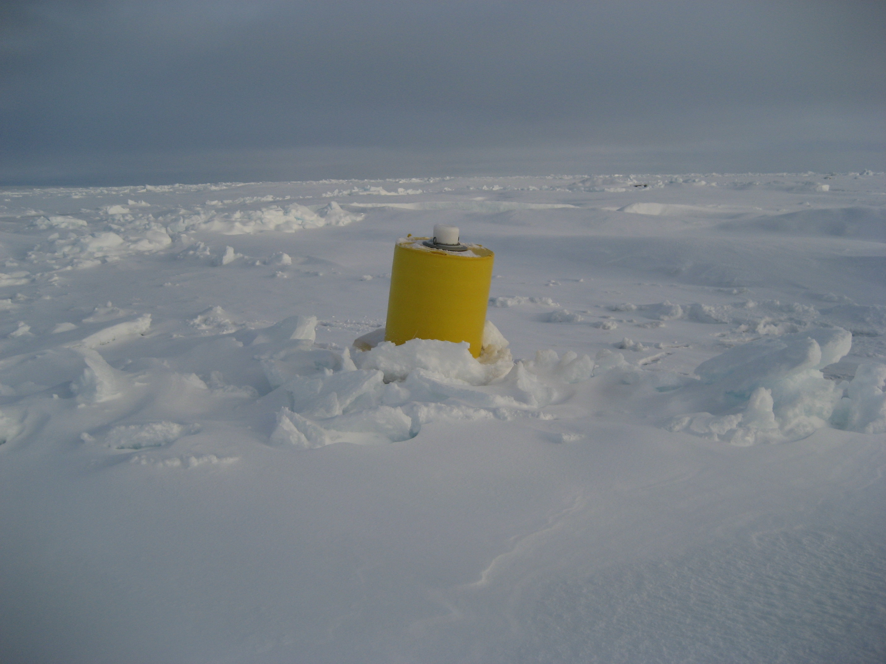
ITP 35 was deployed on a 2.6 m thick ice floe in the Beaufort Sea as part of the Beaufort Gyre Observing System (BGOS) during the JOIS 2009 cruise on the CCGS Louis S. St. Laurent. On the same icefloe, a US Army Cold Regions Research and Engineering Laboratory (CRREL) Ice Mass Balance Buoy (IMB 2009G) and an autonomous atmospheric chemistry buoy (O-Buoy) were also installed. The prototype ITP included a MAVS current meter and operated on a pattern profiling schedule between 7 and 760 m depth each day. A communications problem between the profiler and surface package prevented the underwater data from being telemetered, but the data were rescued from the profiler the following year during the JOIS 2010 cruise when the ITP was successfully recovered.

