ITP24 Overview
Deployment Location: 10/3/2008, 03:00 UTC at 81° 14.5’N, 121° 17.3’E
Last Location: 1/30/2010, 12:00 UTC at 73° 29.6’ N, 15° 6.6’ W
Duration: 756 days
Distance Traveled: 6264 km
Number of profiles: 718 in 357 days
Other instruments: PAWS
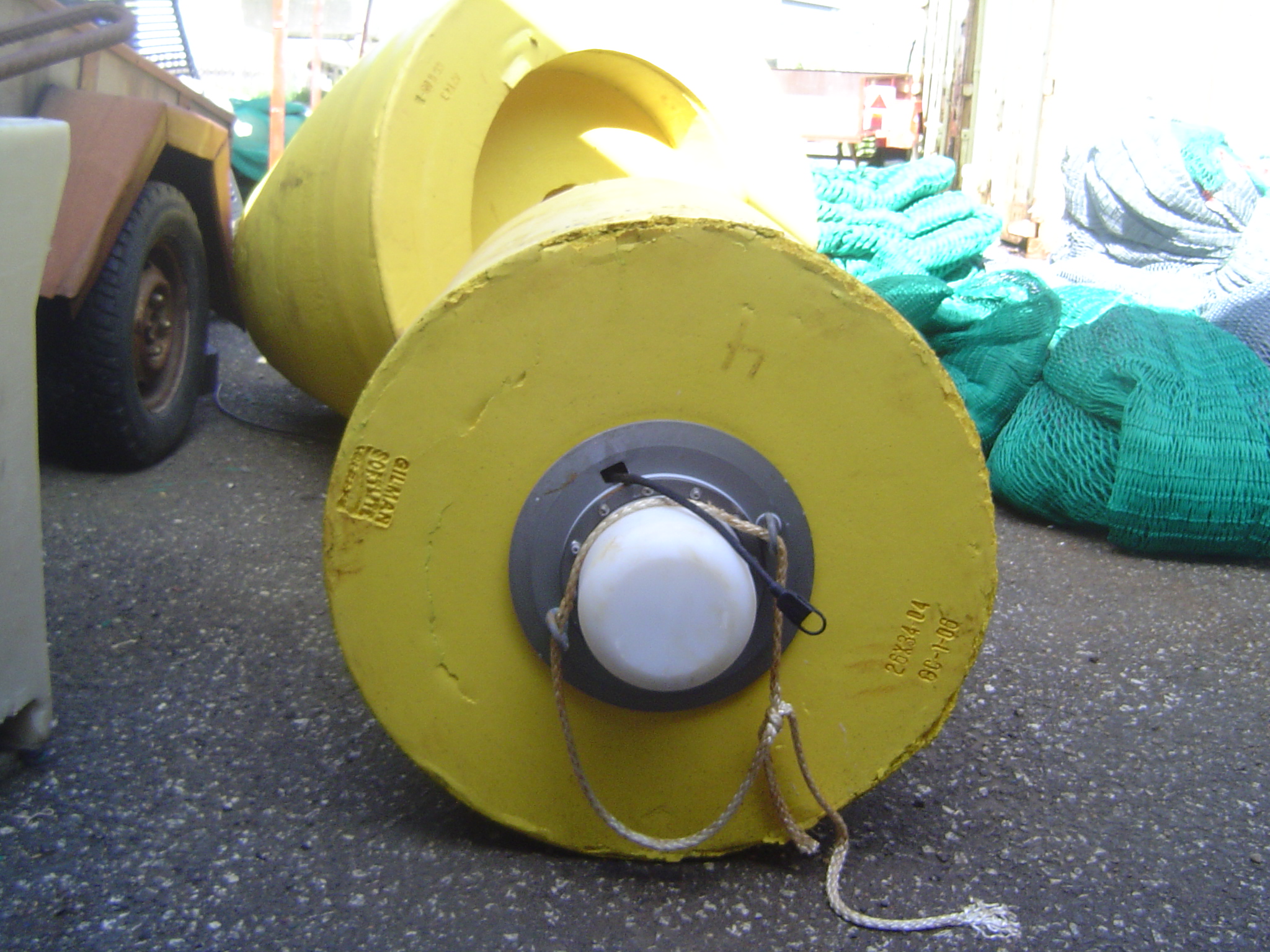
ITP24 was deployed on a 1.5 m thick ice floe in the Transpolar Drift from the German Research Vessel Polarstern as part of the European Union DAMOCLES Program. On the same ice floe, an University of Hamburg (ZMAW) PAWS meteorological station was also installed. The ITP operated on a typical sampling schedule of 2 one-way profiles between 7 and 760 m depth each day. In August 2010, twenty-two months after deployment north of the Laptev Sea and 13 months after the surface unit ceased transmitting, an Icelandic fishing vessel found the buoy (with torn tether and no profiler) drifting north of Iceland. With the help of the Icelandic Coast Guard and Marine Research Institute in Rekjavik, the surface package was eventually returned and an additional 3 months of profiler data (179 profiles) and 7 months of GPS locations were retrieved from the internal memory.
