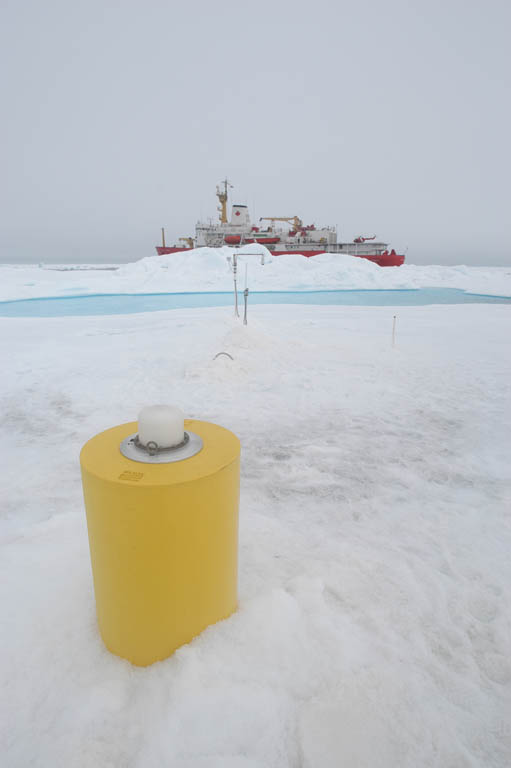
ITP1 Overview
Deployment Location: 8/15/2005, 18:50 UTC at 78° 51.1’N, 150° 15.4’W
Recovery Location: 8/8/2007, 19:00 UTC at 74° 40.3’ N, 151° 21.2’ W
Duration: 723 days
Distance Traveled: 4940 km
Number of profiles: 2043 in 511 days
Other instruments: IMB 2005C
The second ITP that was fielded was ITP1, which was deployed in the Beaufort Sea as part of the Beaufort Gyre Observing System (BGOS) during the JWACS 2005 cruise on the CCGS Louis S. St. Laurent. ITP 1 and an US Army Cold Regions Research and Engineering Laboratory (CRREL) Ice Mass Balance Buoy were deployed on a 4.6 m thick multiyear ice floe in a location designed to drift through the BGOS array over the following year. The profiler unit operated until it exhausted its memory on 8 January 2007, but the surface unit continued to provide status enabling the system to be recovered the following summer during the JOIS 2007 cruise.
