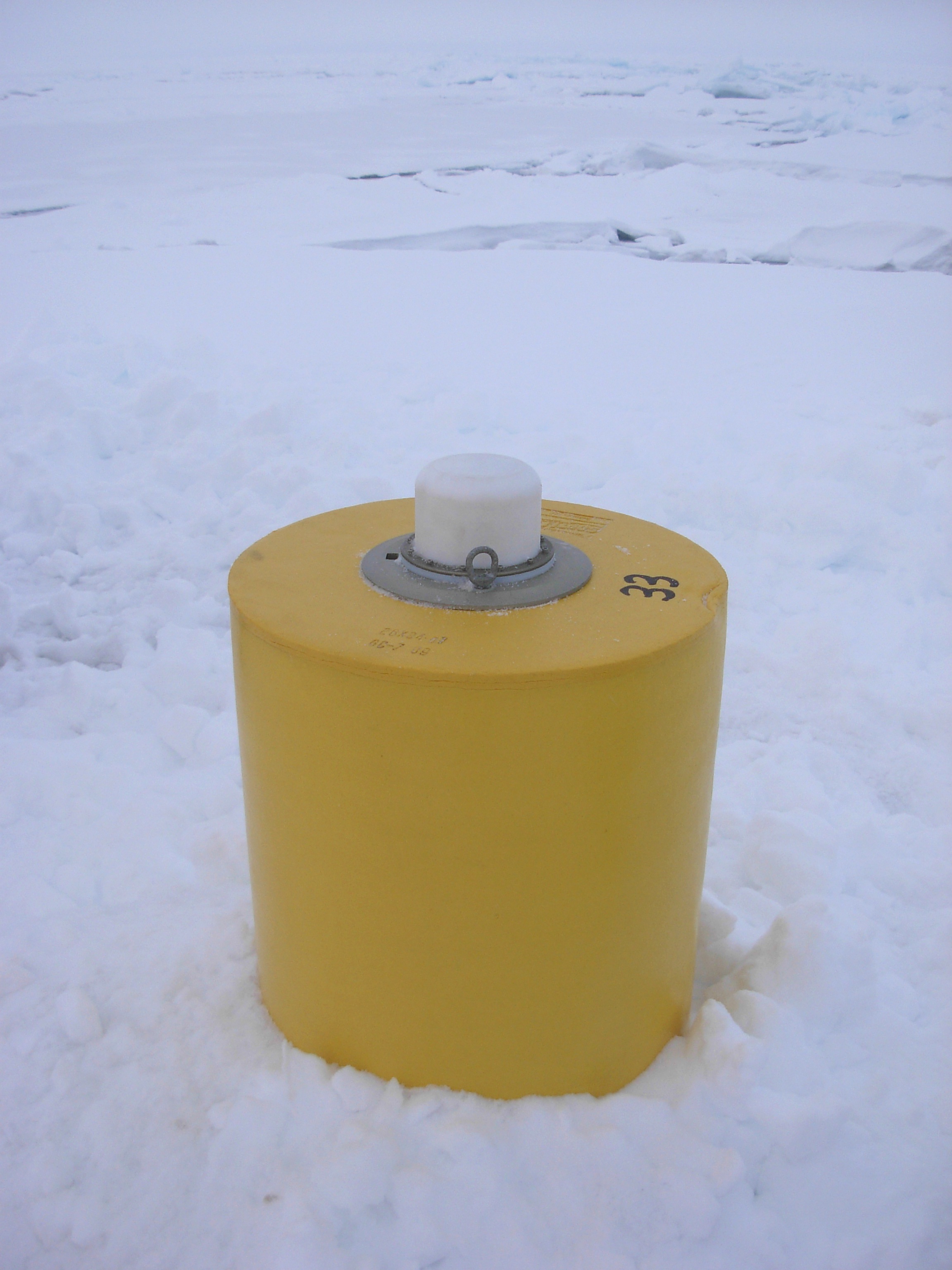
ITP33
ITP33 Overview
Deployment Location: 10/7/2009, 00:00 UTC at 77° 59.7’N, 149° 14.5’W
Recovered Location: 8/2/2011, 19:07 UTC at 78° 50.4’ N, 150° 20.5’ W
Duration: 665 days
Distance Traveled: 6359 km
Number of profiles: 952 in 475 days
Other instruments: none
ITP 33 was deployed on a 4.2 m thick ice floe in the Beaufort Sea as part of the Beaufort Gyre Observing System (BGOS) during the JOIS 2009 cruise on the CCGS Louis S. St. Laurent. The ITP operated on a standard sampling schedule of 2 one-way profiles between 7 and 760 m depth each day. Twenty-two months after deployment, the surface package and part of the tether were recovered without the profiler during the JOIS 2011 cruise also on the CCGS Louis S. St. Laurent.
