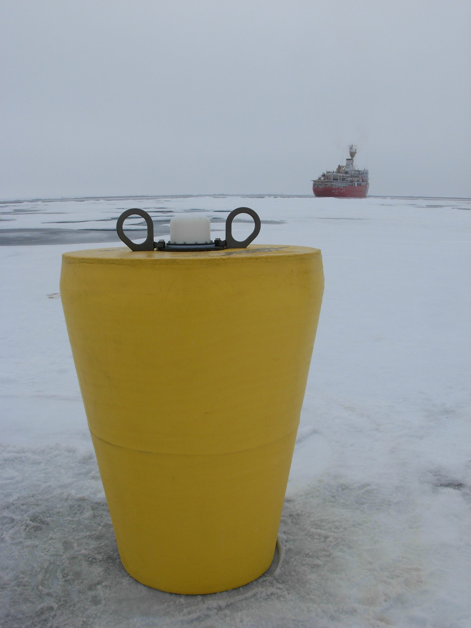
ITP69 Overview
Deployment Location: 8/27/2013, 10:15 UTC at 75° 0.5 N, 140° 2.5 W
Last Location: 11/3/2016, 23:02 UTC at 69° 32.3’ N, 135° 6.2’ W
Duration: 1164 days
Distance Travelled: 10,355 km
Number of profiles: 477 in 196 days
Other instruments: IMB 2013-I
ITP69 was deployed on a 2.9 m thick ice floe in the Beaufort Sea as part of the Beaufort Gyre Observing System (BGOS) during the JOIS 2012 cruise on the CCGS Louis S. St. Laurent. On the same icefloe, a US Army Cold Regions Research and Engineering Laboratory (CRREL) Seasonal Ice Mass Balance Buoy (S-IMB) was also installed. The ITP included a dissolved oxygen sensor and full biosuite system operating on a pattern profiling sampling schedule including one full one-way profile between 9 and 760 m depth every 1.5 days and a fixed SAMI PCO2 and SAMI pH at 6 m depth. More information on the biosuite sensor package and data handling can be found here.
