ITP36
ITP36 Overview
Deployment Location: 8/29/2009, 06:00 UTC at 79° 12.7’N, 125° 42.4’E
Last Location: 10/13/2009, 17:02 UTC at 82° 9.3’ N, 118° 4.9’ E
Duration: 61 days
Distance Traveled: 860 km
Number of profiles: 122 in 44 days
Other instruments: none
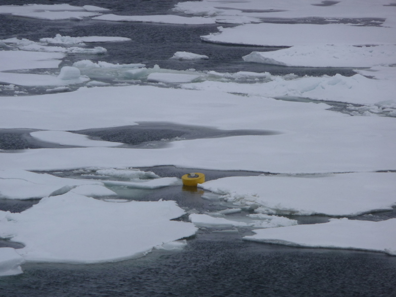
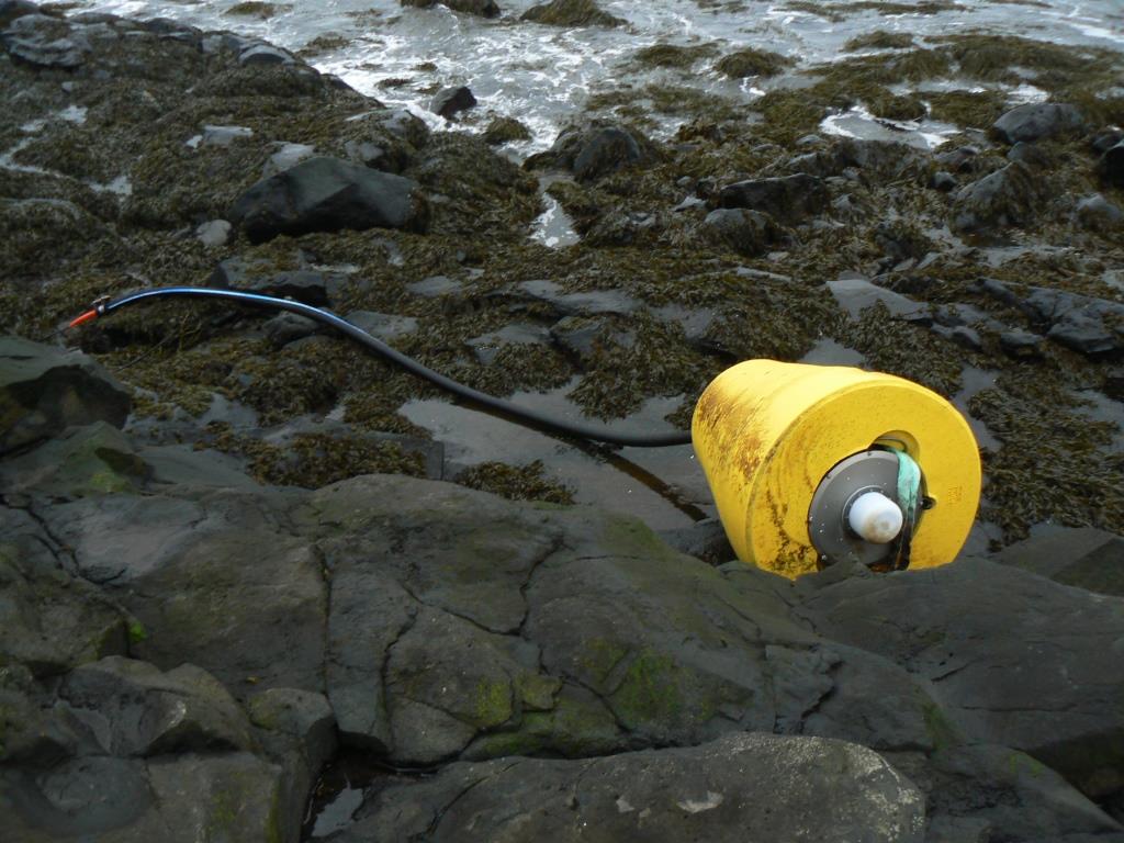
ITP 36 was deployed in open water in the Transpolar Drift in collaboration with the Nansen and Amundsen Basins Observational System (NABOS) project from I/B Kapitan Dranitsyn. The ITP operated on a typical sampling schedule of 2 one-way profiles between 7 and 760 m depth each day. Less than 2 months after deployment, the system completely ceased transmitting, but the surface package with upper 5 m potted tether section was discovered on the north shore of Iceland by the Icelandic Coast Guard in February 2012 and subsequently returned to Woods Hole.

