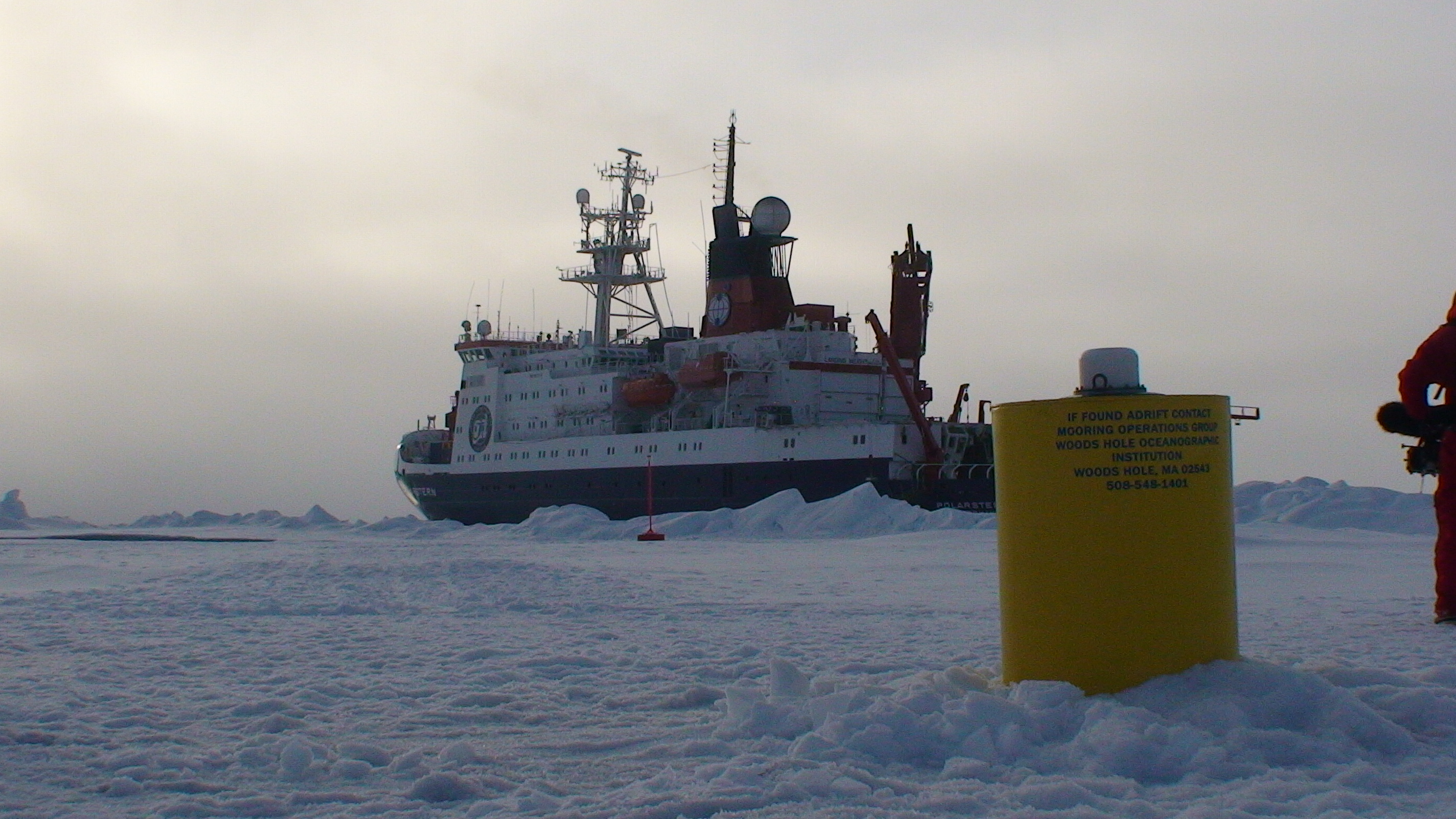
ITP16 Overview
Deployment Location: 9/2/2007, 23:00 UTC at 87° 50.3’N, 169° 48.2’W
Last Location: 9/5/2010, 23:01 UTC at 80° 14.8’ N, 104° 51.2’ W
Duration: 1099 days
Distance Traveled: 3736 km
Number of profiles: 643 in 213 days
Other instruments: Ice Beacon (Meteorological)
ITP16 was deployed from the German icebreaker Polarstern as part of the European Union DAMOCLES Program on an approximately 2 m thick ice floe. The ITP operated on a rapid sampling schedule of 3 one-way profiles between 7 and 760 m depth each day for nearly 4 months (365 profiles) until the mooring encountered bottom along the shallowest part of the Lomonsov Ridge north of Ellesmere Island. Afterwards the buoy was driven over the shelf, so that the profiler was largely unable to profile, except down to around 500 m for several days in February (15 profiles) and over a ten day period in mid-March (22 profiles) in the Lincoln Sea. The profiler ceased communicating on April 3, 2008 but the buoy persisted north of the Sverdrup Islands more than 2 years longer.
