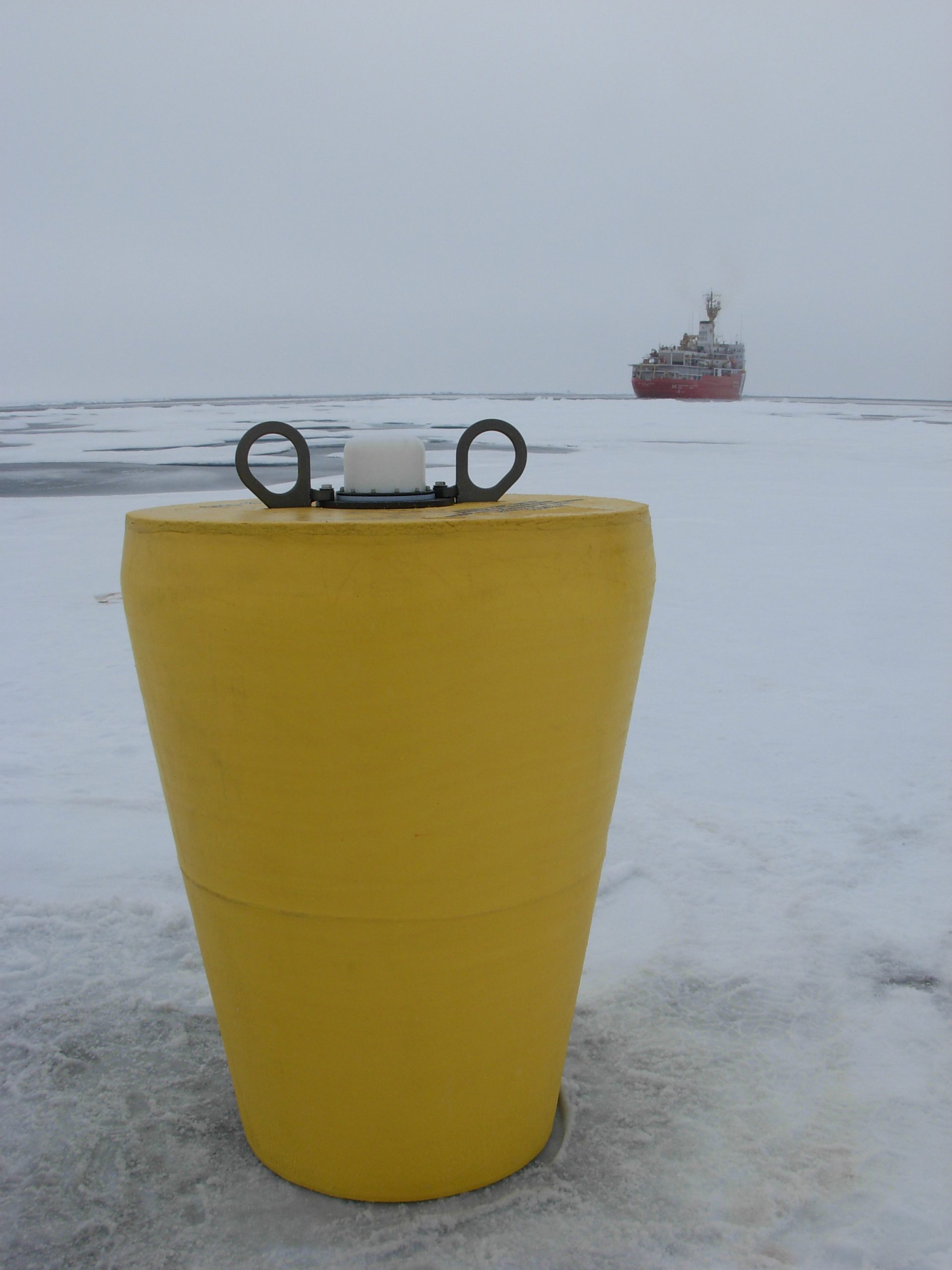
ITP 70 Overview
Deployment Location: 8/25/2013, 1:15 UTC at 76° 55.4 N, 138° 50.9 W
Recovery Location: 9/25/2015, 00:35 UTC at 75° 24.75’ N, 138° 37.57’ W
Duration: 761 days
Distance Travelled: 7259 km
Number of profiles: 3712 in 325 days
Other instruments: IMB 2013-F, AOFB 30, O-Buoy 10, ITM 3, wavebuoy
ITP70 was deployed on a 1.03 m thick icefloe in the Beaufort Sea on August 25, 2013 at 76° 55.4 N, 138° 50.9 Was part of the Beaufort Gyre Exploration Project (whoi.edu) during the JOIS 2013 cruise on the CCGS Louis S. St. Laurent. On the same icefloe, a Naval Postgraduate School Arctic Ocean Flux Buoy (AOFB), a US Army Cold Regions Research and Engineering Laboratory (CRREL) Ice Mass Balance Buoy (IMB), an autonomous atmospheric chemistry buoy, an Ice Tethered Micro 3 Data (whoi.edu) (ITM 3), and a wave buoy were also installed. The ITP included a second generation prototype MAVS current sensor operating on a pattern profiling schedule including 2 one-way profiles between 7 and 760 m depth each day and a SBE-37 microcat fixed at 6 m depth. Two years later, ITP70 was completely recovered in the Beaufort Sea from the CCGS Louis S St. Laurent during the JOIS 2015 cruise.
