ITP37 Overview
Deployment Location: 8/30/2009, 08:00 UTC at 81° 55.7’N, 120° 10.1’E
Last Location: 5/6/2011, 23:02 UTC at 80° 23.2’ N, 21° 16.3’ E
Duration: 615 days
Distance Traveled: 5829 km
Number of profiles: 962 in 481 days
Other instruments: none
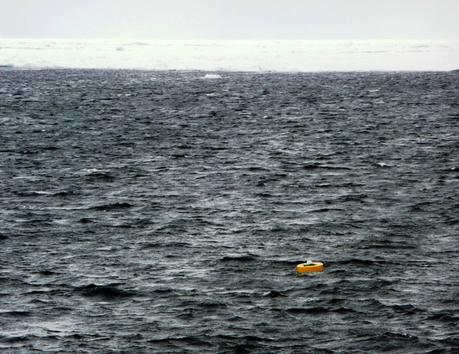
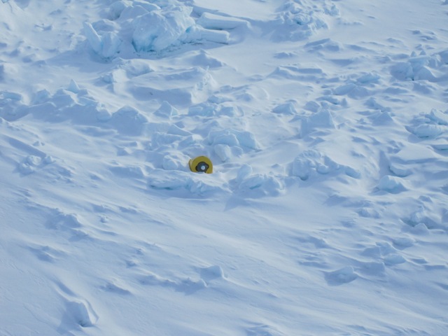
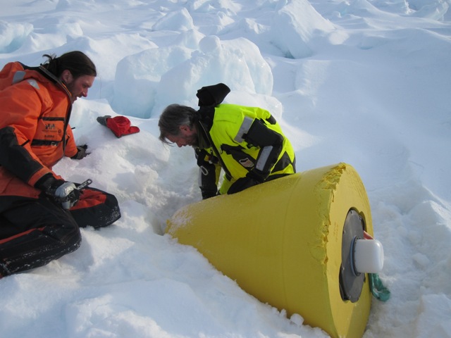
ITP 37 was deployed in open water in the Transpolar Drift in collaboration with the Nansen and Amundsen Basins Observational System (NABOS) project from I/B Kapitan Dranitsyn. The ITP operated on a typical sampling schedule of 2 one-way profiles between 7 and 760 m depth each day. After sampling across the Arctic Eurasian basins for 16 months, the buoy grounded in northeast Svalbaard, and the surface package was recovered on May 7, 2011 on a helicopter survey from the RV Lance by scientists from the Norwegian Polar Institute Centre for Ice, Climate and Ecosystems (ICE).


