ITP 1 Recovery Operations
After the profiler stopped acquiring data, preparations were made to recover ITP 1 if the opportunity presented itself during the summer 2007 Joint Ocean Ice Study (JOIS) on the CCGS Louis S. St. Laurent. Based on the failed recovery attempt of ITP 3 in 2006, a hydraulic hydro block apparatus was assembled to be utilized for recovering ITPs from uneven ice surfaces (where the deployment winch could not be used). The power-block apparatus would be used in the field for the first time on ITP1, if it could be located. Fortunately, status locations transmitted daily from the system surface package put ITP 1 near the cruise track on August 5, 2007.
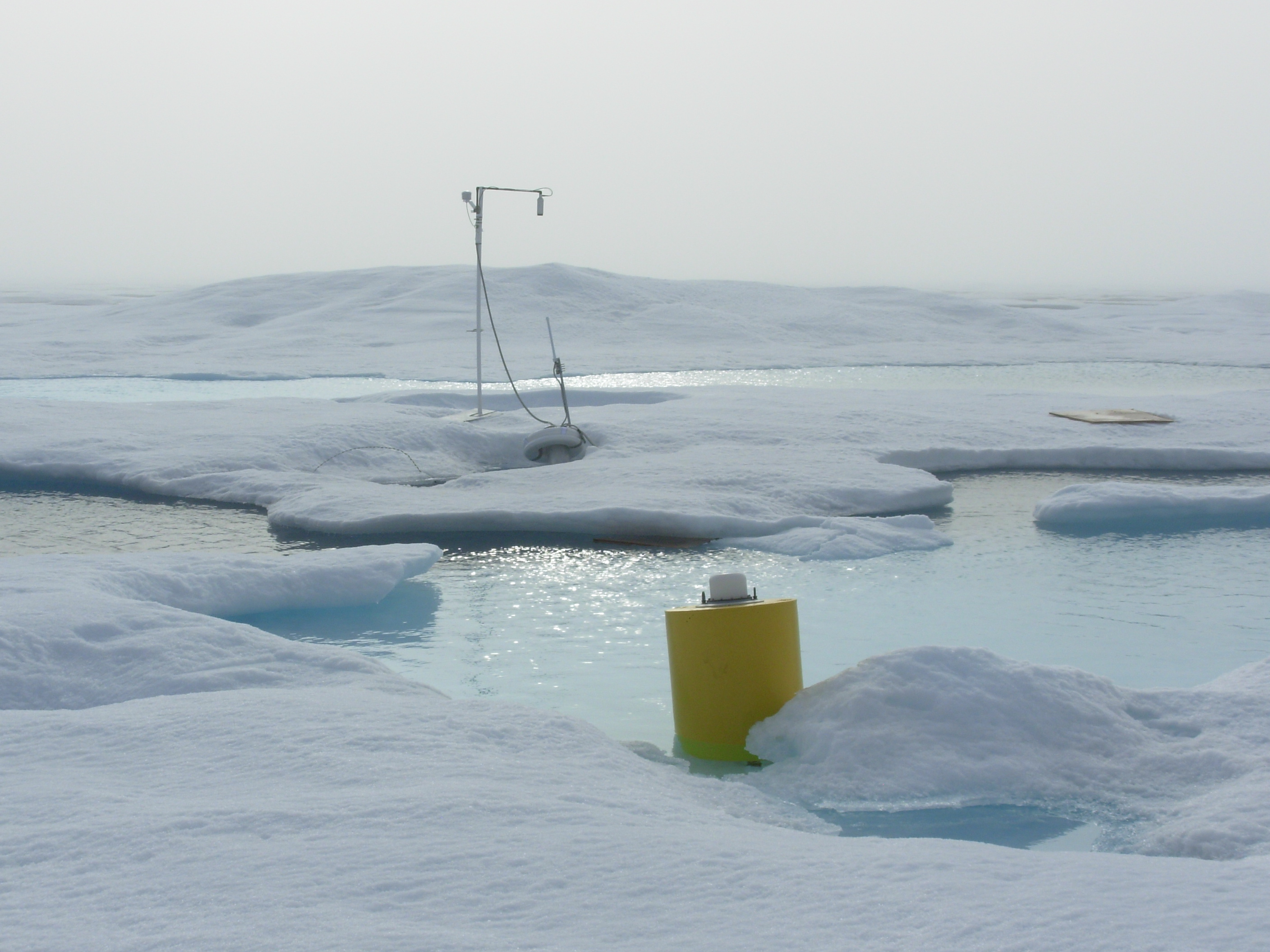
Immediately after receiving the latest ITP 1 status file (with most recent position several hours old) via phone call from WHOI just after midnight UTC (18:17 local time), a helicopter reconnaissance flight was taken to the location, and the package spotted on a small, pond studded ice floe after within 30 minutes. It was too late in the day and the ship was still too far away for recovery operations to begin this evening, so photos and measurements were taken of the site, supplemental flotation was attached to the buoy, and the site was marked with a red flag and a boat radar reflector to assist in finding the site again the next day.
The next morning, after recovering a bottom-tethered mooring, reconnaissance by helicopter to relocate the site began. Visibility was limited by fog however, and the system could not be relocated, although later it was determined that the ship had passed within 2.5 miles during the search. The next day, ship operations were farther west, so ITP1 was not successfully located again until August 8. Better visibility allowed the system to be seen over 2 miles away from the ship’s bridge, who headed to the spot after dead reckoning the previously received buoy locations.
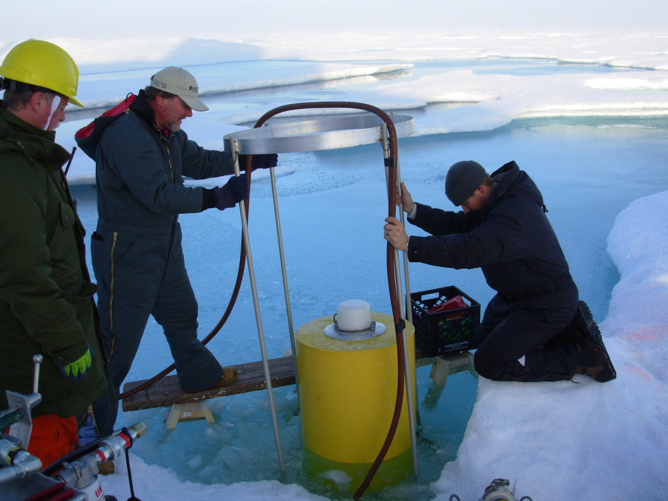
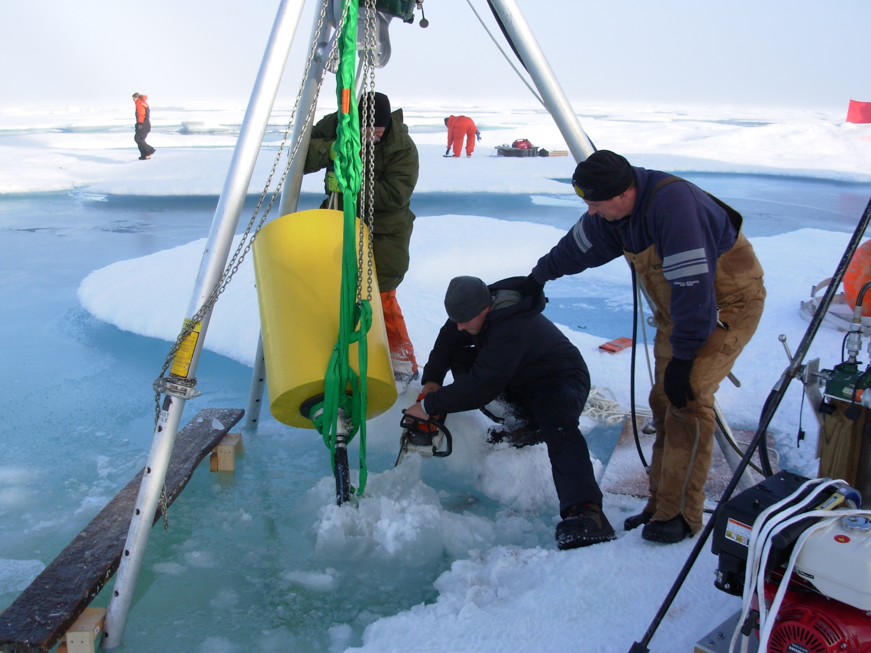
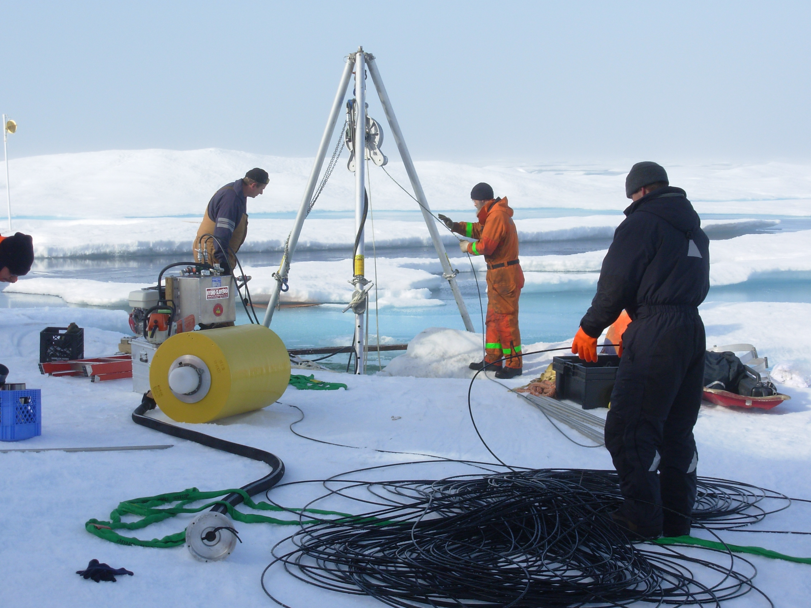
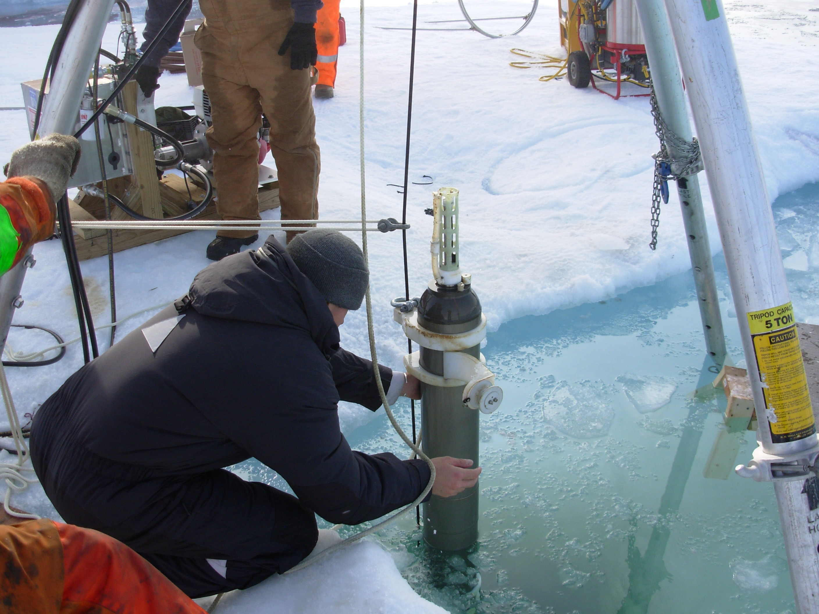
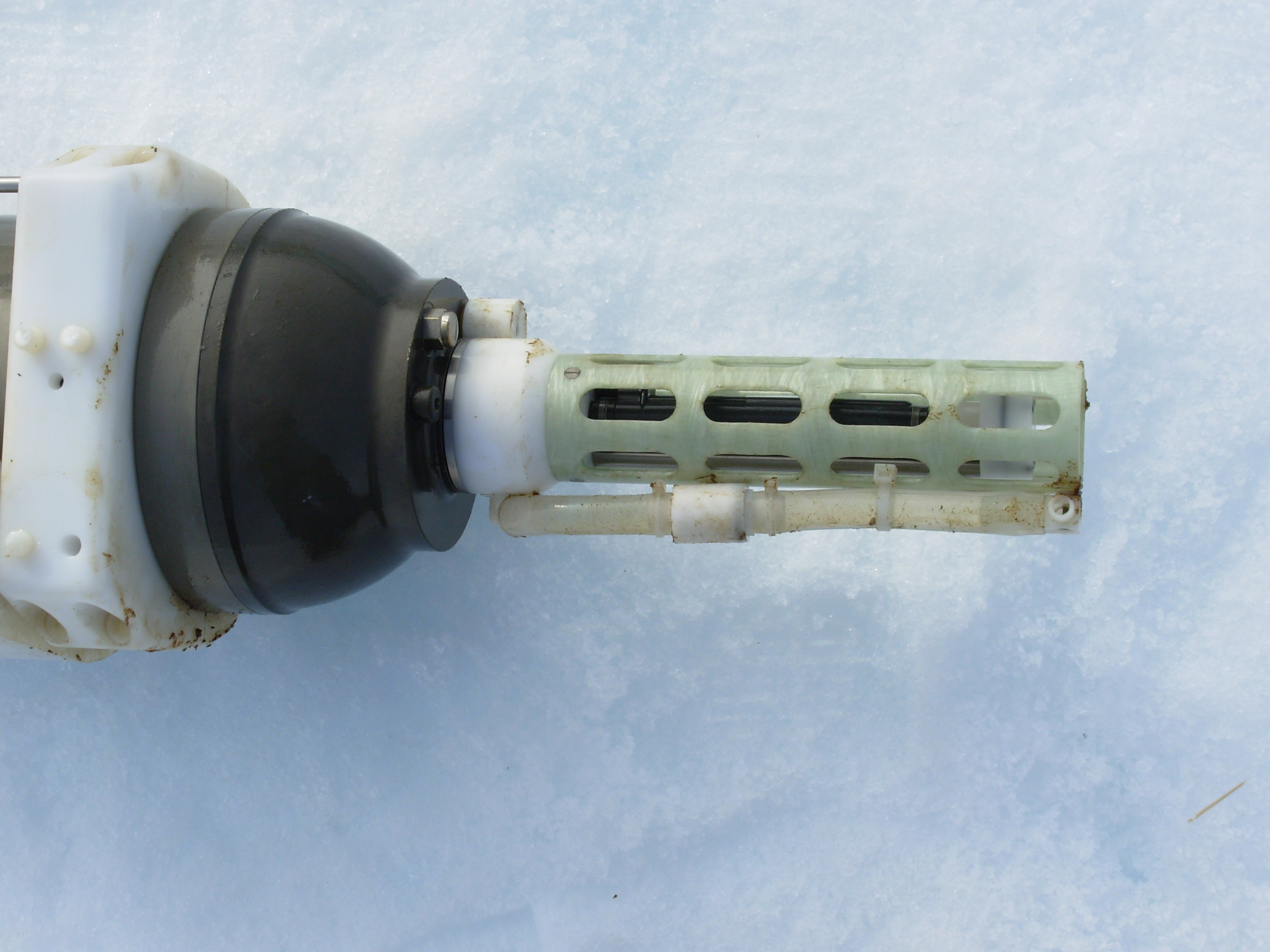
With the ship up against the floe, the recovery operations began with the transfer of personnel and cargo by helicopter from the back deck to the adjacent floe. The floe which contained ITP 1 was still 2.3 m thick, though the ITP surface package itself was located in the edge of a relatively large melt pond about 0.25 m deep. In order to operate all around the buoy, wooden sawhorses and staging were used over the melt pond. First a 30” diameter hot water drill ring was used to cut through the floe, then the ice plug was cleared using a chainsaw (these operations took over 2 hours). The 800 m of wire rope was hauled in using the power-block in a little over an hour, and the ITP profiler removed from the wire. The instrument had light biofouling and a broken spring, but was otherwise in good shape.
The whole recovery operation took about 5.5 hours, but was well justified by the instrument performance information that was analyzed for engineering improvements. In addition, the same ITP surface package and profiler would later be refurbished, upgraded and reused (in the Antarctic as ITP 31).
More information and pictures of the search for and recovery of ITP 1 are available at: https://www.whoi.edu/page.do?pid=67481 and https://www.whoi.edu/page.do?pid=67556.
A slide show of the recovery of ITP 1 can be viewed here.
