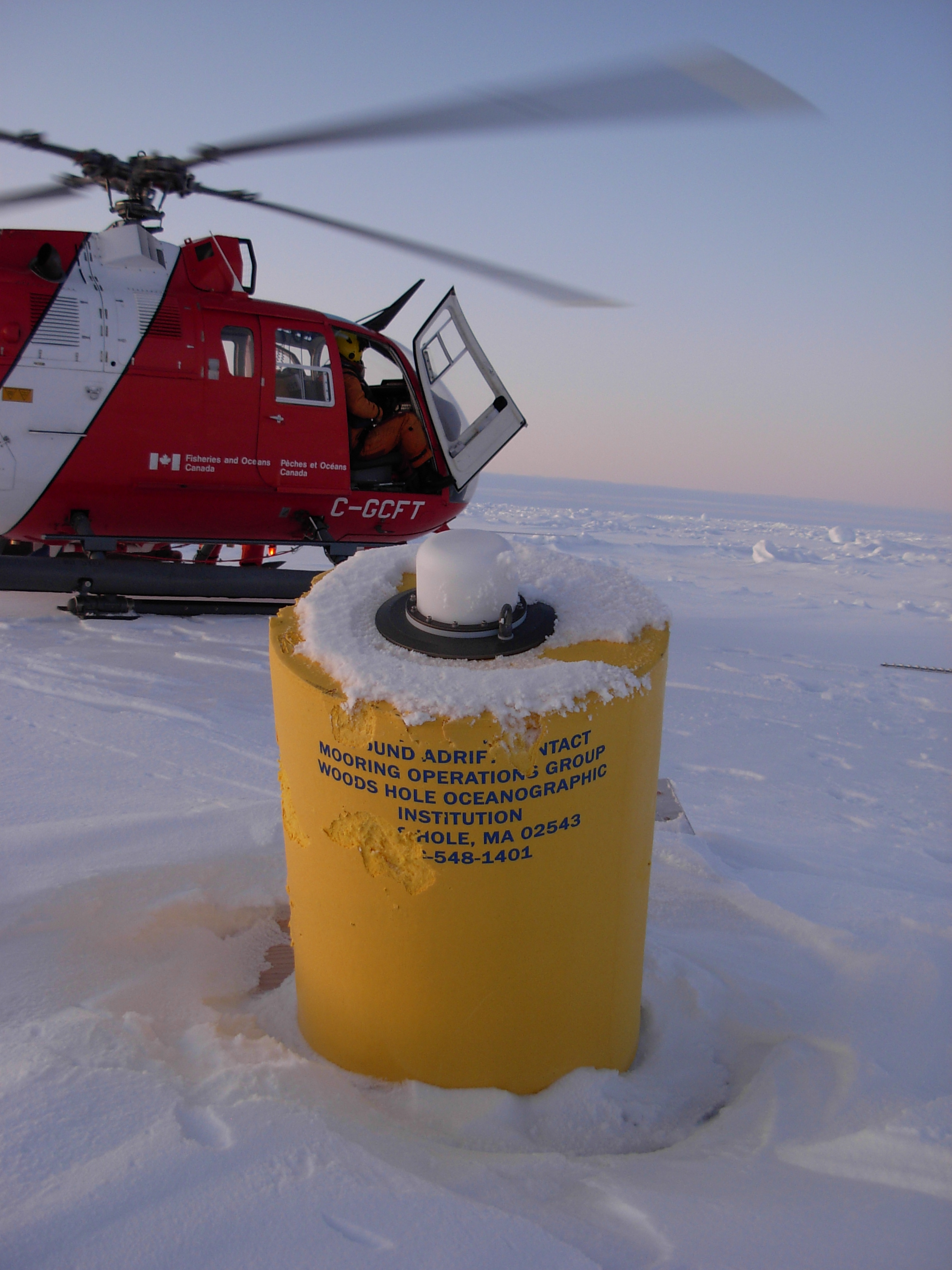
ITP 8 Overview
Deployment Location: 8/11/2007, 23:00 UTC at 78° 21’N, 154° 1’ W
Recovery Location: 10/3/2009, 23:00 UTC at 80° 19’N, 151° 54’W
Duration: 767 days
Distance Traveled: 7272 km
Number of profiles: 1570 in 784 days
Other instruments: none
ITP8 was deployed on a 3.49 m ice floe in the Beaufort Gyre as part of the Beaufort Gyre Observing System (BGOS) during the JOIS 2007 cruise on the CCGS Louis S. St. Laurent. The ITP operated on a standard sampling schedule of 2 one-way profiles between 7 and 760 m depth each day, nearly completely encircling the perimeter of the Beaufort Gyre anticyclonic circulation cell in two years. Until July 30, 2008, the ITP profiler transmitted the information via the inductive modem (IM) and Iridium, but ceased for no apparent reason. Location data was still being obtained and transmitted by the surface package so that when the system was recovered in October 2009 (during JOIS 2009), an additional 800 profiles were recovered from the underwater unit. Only about half of these include complete profiles because in early 2009 the instrument dragged on the Chukchi/Northwind topography and became inverted and tangled on the tether (as recovered). Several hours after recovery, ITP32 was deployed in the same hole from which ITP8 was recovered, only a short distance from the edge of the 2.5 m thick icefloe.
