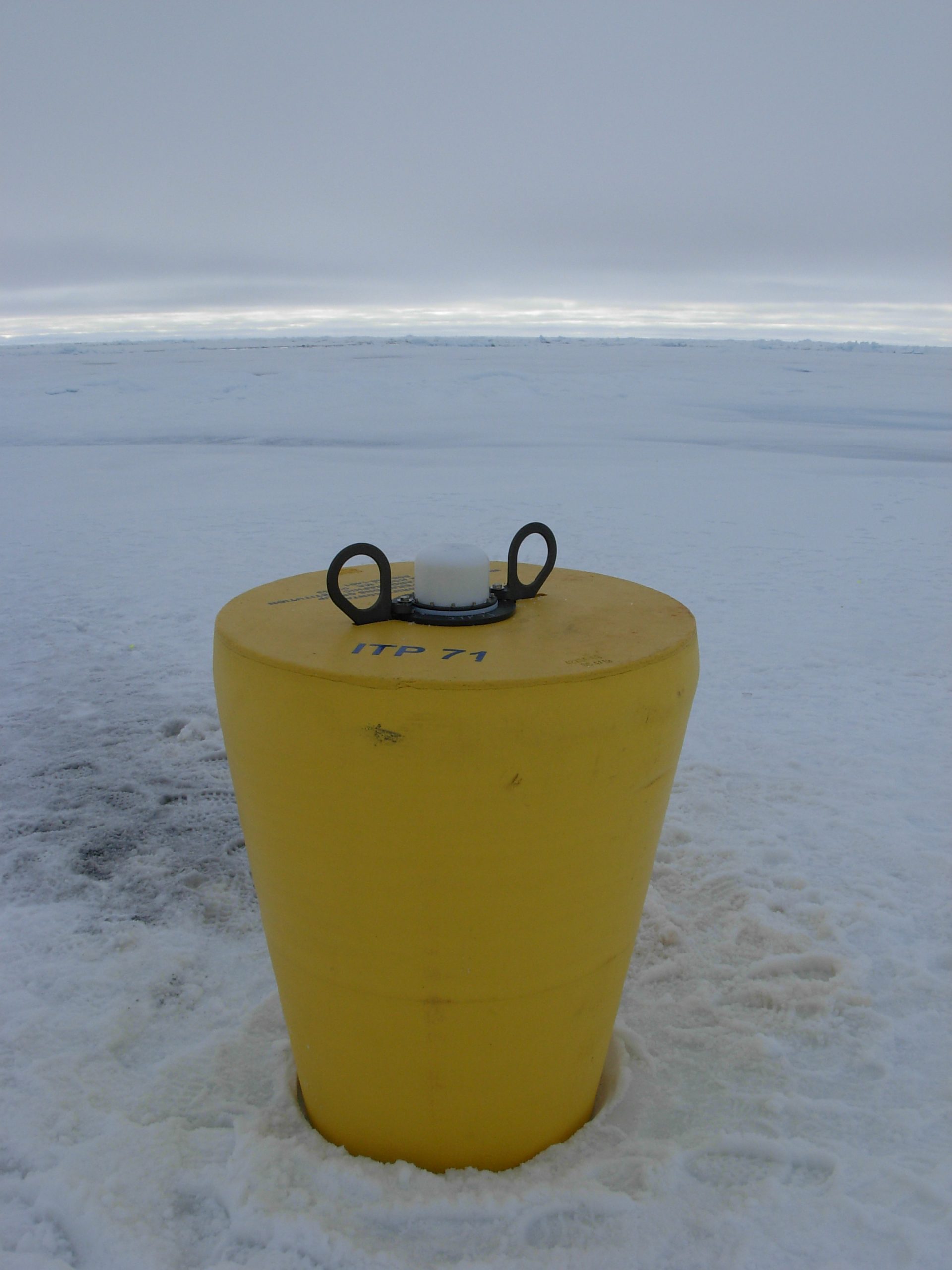
ITP 71 Overview
Deployment Location: 8/22/2013, 23:29 UTC at 77° 31.3 N, 147° 52.2 W
Recovery Location: 10/12/2014, 18:07 UTC at 75° 10.9’ N, 139° 47.3’ W
Duration: 416 days
Distance Traveled: 3824 km
Number of profiles: 0 in 2132 days
Other instruments: M-Y Uptempo
ITP71 was deployed on a 2.63 m thick icefloe in the Beaufort Sea on August 22, 2013 at 77° 31.3 N, 147° 52.2 W as part of the Beaufort Gyre Observing System (BGOS) during the JOIS 2013 cruise on the CCGS Louis S. St. Laurent. On the same icefloe, a US Army Cold Regions Research and Engineering Laboratory (CRREL) Ice Mass Balance Buoy (IMB), and Marlin-Yug Uptempo buoy were also installed. The ITP included a second generation prototype MAVS current sensor operating on a pattern profiling schedule (but unable to acquire sensor data) and SBE-37 microcat fixed at 6 m depth. The following year, ITP71 was completely recovered in the Beaufort Sea from the CCGS Louis S St. Laurent during the JOIS 2014 cruise.
