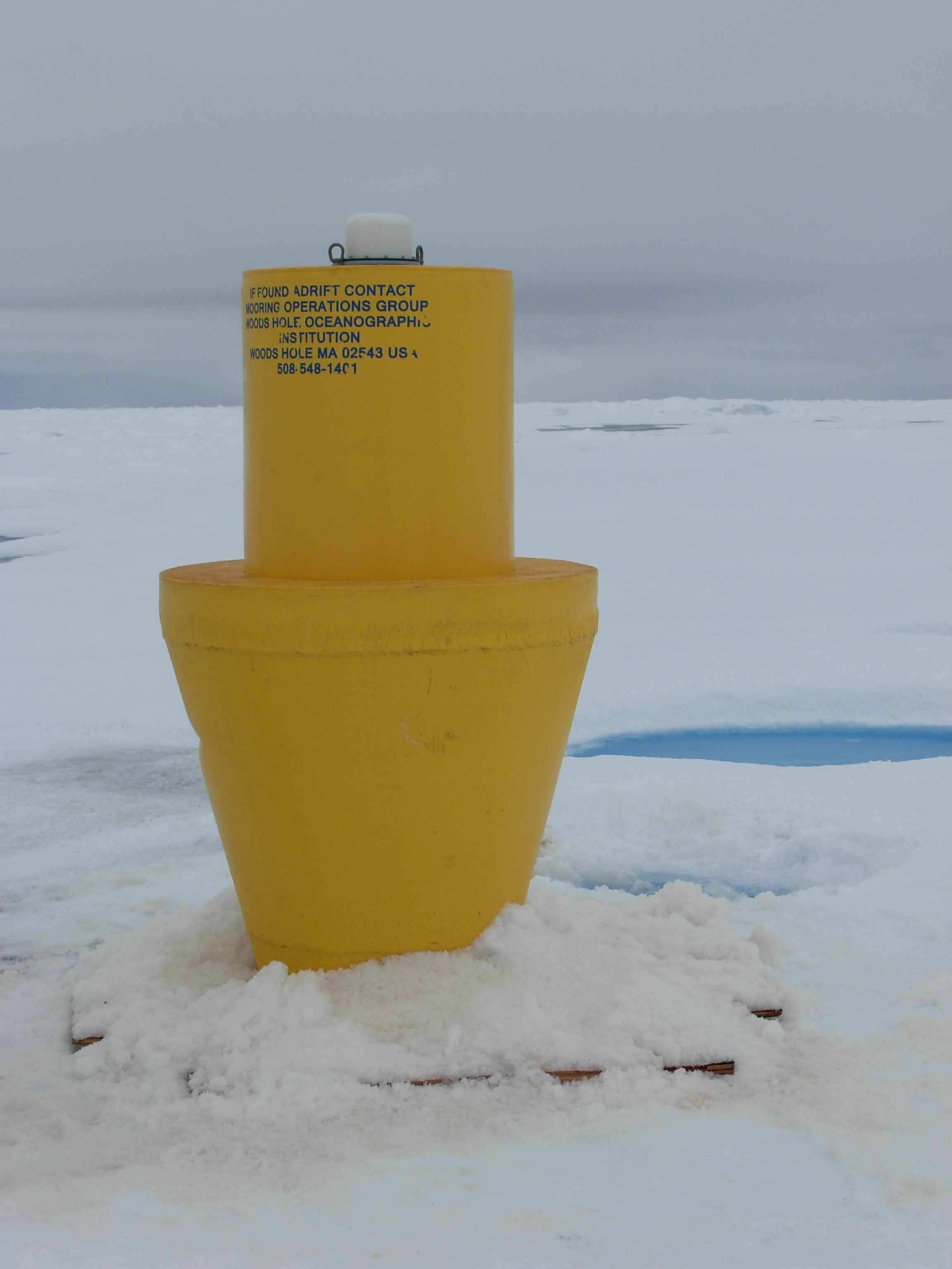
ITP21 Overview
Deployment Location: 8/3/2008, 21:00 UTC at 80° 0.6’N, 150° 5.3’W
Recovery Location: 9/23/2009, 23:30 UTC at 72° 33.4’ N, 140° 49.7’ W
Duration: 416 days
Distance Traveled: 3535 km
Number of profiles: 832 in 415 days
Other instruments: none
ITP21 was deployed on a 3.3 m thick ice floe in the Beaufort Sea as part of the Beaufort Gyre Observing System (BGOS) during the JOIS 2008 cruise on the CCGS Louis S. St. Laurent. The ITP operated on a standard sampling schedule of 2 one-way profiles between 7 and 760 m depth each day, although hindered after the first month by extremely fouled CTD sensors which cleared 5 months later, and then hampered by problems profiling the full depth range. Fortunately, the JOIS 2009 cruise on the Louis S. St. Laurent allowed the opportunity to recover the system 13 months later and 500 miles south. Upon examination a broken tension spring was found on the profiler, explaining the profiling problems.
