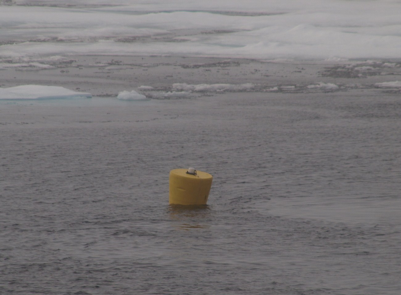
ITP64
Deployment Location: 8/28/2012, 17:58 UTC at 78° 46.5’N, 136° 39.8’W
Last Location: 9/2/2013, 23:00 UTC at 73° 43.56’ N, 169° 37.62’ W
Duration: 3703 days
Distance Traveled: 3946 km
Number of profiles: 1123 in 361 days
Other instruments: none
ITP64 was deployed in open water in the Beaufort Sea as part of the Beaufort Gyre Observing System (BGOS) during the JOIS 2012 cruise on the CCGS Louis S. St. Laurent. The ITP included a dissolved oxygen sensor and full biosuite system and a fixed SAMI pCO2 with SBE-37 microcat at 6 m depth and operated on a pattern profiling sampling schedule including one full one-way profile between 7 and 760 m depth every 1.5 days. More information on the biosuite sensor package and data handling can be found here.
