ITP 99 Overview
Deployment Location: 10/1/2016, 21:12 UTC at 77° 53.0’ N, 145° 7.9’ W
Last Location: 8/27/2017, 6:33 UTC at 73° 6.7’ N, 140° 36.0’ W
Duration: 329 days
Distance Travelled: 3655 km
Number of profiles: 224 in 111 days
Other instruments: none
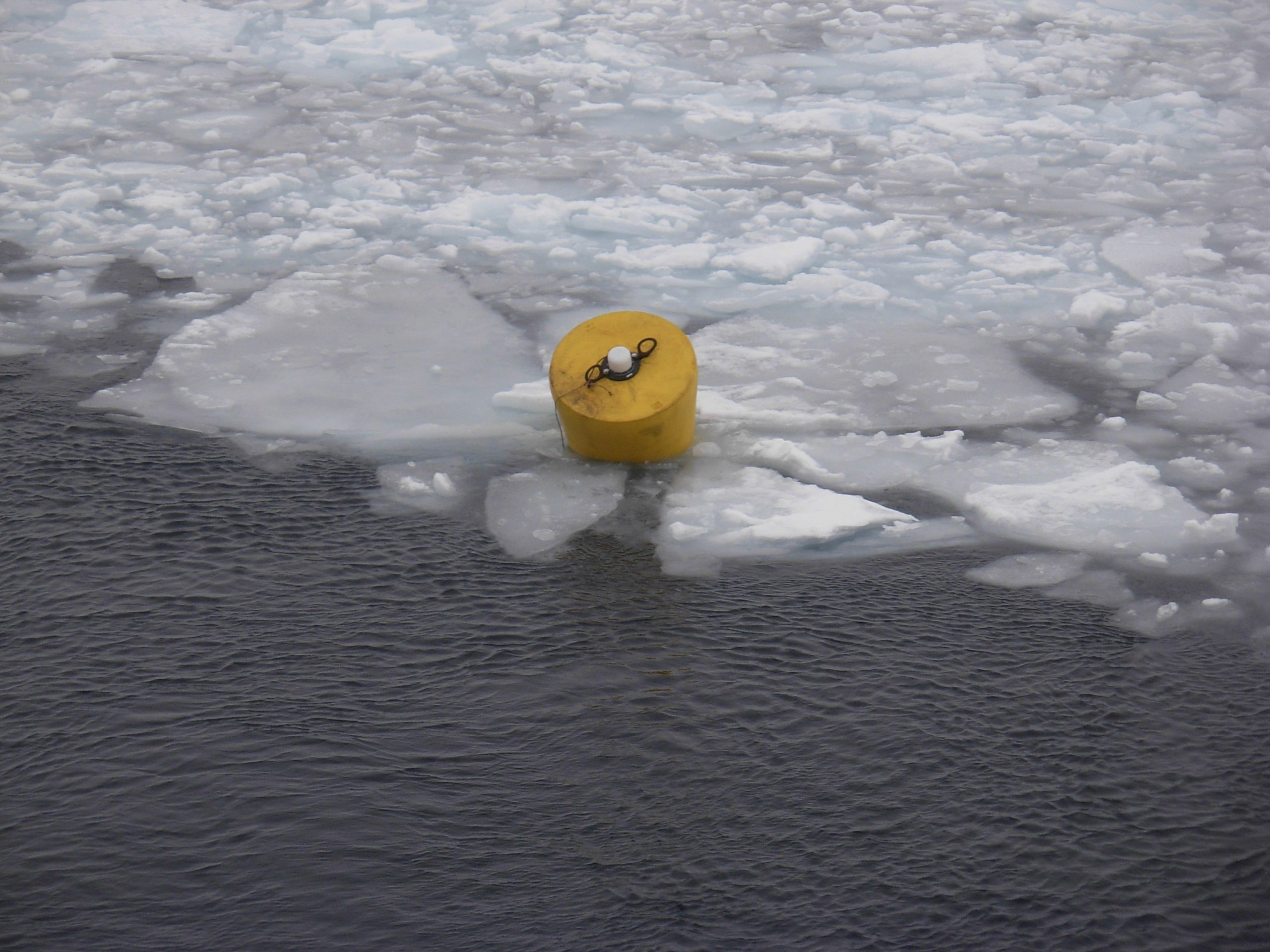
ITP99 was deployed in open water in the Beaufort Sea on October 1, 2016 as part of the Beaufort Gyre Observing System (BGOS) during the JOIS 2016 cruise on the CCGS Louis S. St. Laurent. The ITP included a dissolved oxygen sensor and operated on a standard sampling schedule of 2 one-way profiles between 7 and 760 m depth each day and includes a fixed SAMI PCO2 and SBE-37 microcat at 6 m depth.

ITP 99 drifts into slush ice shortly after the over the side deployment during JOIS 2016. (Photo by Jeff O’Brien)